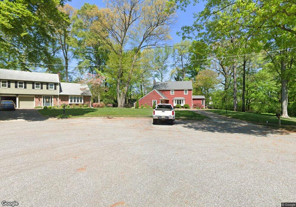
1056 Ollerton Ct West Deptford, NJ 08096
West Deptford Township NeighborhoodEstimated Value: $515,712 - $575,000
4
Beds
3
Baths
2,312
Sq Ft
$237/Sq Ft
Est. Value
About This Home
This home is located at 1056 Ollerton Ct, West Deptford, NJ 08096 and is currently estimated at $547,428, approximately $236 per square foot. 1056 Ollerton Ct is a home located in Gloucester County with nearby schools including Green-Fields Elementary School, Red Bank Elementary School, and Oakview Elementary School.
Ownership History
Date
Name
Owned For
Owner Type
Purchase Details
Closed on
Jan 3, 2011
Sold by
Kiotis Eva
Bought by
Kuni Carl W and Kuni Dawn L
Current Estimated Value
Home Financials for this Owner
Home Financials are based on the most recent Mortgage that was taken out on this home.
Original Mortgage
$269,978
Outstanding Balance
$180,686
Interest Rate
4.4%
Mortgage Type
FHA
Estimated Equity
$366,742
Create a Home Valuation Report for This Property
The Home Valuation Report is an in-depth analysis detailing your home's value as well as a comparison with similar homes in the area
Home Values in the Area
Average Home Value in this Area
Purchase History
| Date | Buyer | Sale Price | Title Company |
|---|---|---|---|
| Kuni Carl W | $277,000 | Group 21 Title Agency |
Source: Public Records
Mortgage History
| Date | Status | Borrower | Loan Amount |
|---|---|---|---|
| Open | Kuni Carl W | $269,978 |
Source: Public Records
Tax History Compared to Growth
Tax History
| Year | Tax Paid | Tax Assessment Tax Assessment Total Assessment is a certain percentage of the fair market value that is determined by local assessors to be the total taxable value of land and additions on the property. | Land | Improvement |
|---|---|---|---|---|
| 2025 | $9,659 | $276,600 | $74,600 | $202,000 |
| 2024 | $9,534 | $276,600 | $74,600 | $202,000 |
| 2023 | $9,534 | $276,600 | $74,600 | $202,000 |
| 2022 | $9,490 | $276,600 | $74,600 | $202,000 |
| 2021 | $9,457 | $276,600 | $74,600 | $202,000 |
| 2020 | $9,435 | $276,600 | $74,600 | $202,000 |
| 2019 | $9,172 | $276,600 | $74,600 | $202,000 |
| 2018 | $8,923 | $276,600 | $74,600 | $202,000 |
| 2017 | $8,716 | $276,600 | $74,600 | $202,000 |
| 2016 | $8,472 | $276,600 | $74,600 | $202,000 |
| 2015 | $8,071 | $276,600 | $74,600 | $202,000 |
| 2014 | $7,670 | $276,600 | $74,600 | $202,000 |
Source: Public Records
Map
Nearby Homes
- 1810 Fernwood Dr
- 1311 Barnesdale Rd
- 740 Carter Hill Dr
- 4 Saint Emilion Ct
- 1102 Barnesdale Rd
- 863 Doncaster Dr
- 1220 Royal Ln
- 64 Tilden Rd
- 87 Woodway Dr Unit 87
- 640 Worcester Dr
- 558 Prince St
- 433 Crown Point Rd
- 439 Crown Point Rd
- 97 Church St
- 121 Cape May Ave
- 266 Passaic Ave
- 344 S Girard St
- 10 Kennedy Ct
- 12 Highbridge Ln Unit I2
- 125 Lionheart Ln Unit C125
- 1058 Ollerton Ct
- 1052 Ollerton Rd
- 1060 Ollerton Ct
- 1064 Ollerton Rd
- 1639 Pennfield Dr
- 1641 Pennfield Dr
- 1070 Ollerton Rd
- 1086 Locksley Ct
- 1637 Pennfield Dr
- 1076 Ollerton Rd
- 1643 Pennfield Dr
- 1057 Ollerton Rd
- 1063 Ollerton Rd
- 1051 Ollerton Rd
- 1069 Ollerton Rd
- 1088 Locksley Ct
- 1413 Weatherly Ct
- 1045 Ollerton Rd
- 1039 Ollerton Rd
- 1635 Pennfield Dr