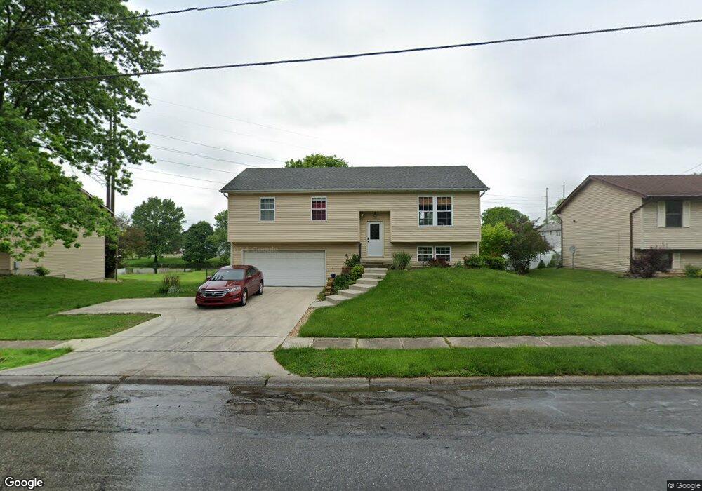
1056 Ransom Rd Valparaiso, IN 46385
Estimated Value: $298,182 - $356,000
3
Beds
3
Baths
1,856
Sq Ft
$175/Sq Ft
Est. Value
About This Home
This home is located at 1056 Ransom Rd, Valparaiso, IN 46385 and is currently estimated at $324,546, approximately $174 per square foot. 1056 Ransom Rd is a home located in Porter County with nearby schools including Cooks Corners Elementary School, Ben Franklin Middle School, and Valparaiso High School.
Ownership History
Date
Name
Owned For
Owner Type
Purchase Details
Closed on
Mar 14, 2025
Sold by
Bartlett Scott A and Bartlett Angela M
Bought by
City Of Valparaiso
Current Estimated Value
Purchase Details
Closed on
Mar 24, 2005
Sold by
Eckert Ronald L and Shepard Eckert Heidi L
Bought by
Bartlett Scott A and Bartlett Angela M
Home Financials for this Owner
Home Financials are based on the most recent Mortgage that was taken out on this home.
Original Mortgage
$127,800
Interest Rate
5.89%
Mortgage Type
Fannie Mae Freddie Mac
Create a Home Valuation Report for This Property
The Home Valuation Report is an in-depth analysis detailing your home's value as well as a comparison with similar homes in the area
Home Values in the Area
Average Home Value in this Area
Purchase History
| Date | Buyer | Sale Price | Title Company |
|---|---|---|---|
| City Of Valparaiso | -- | None Listed On Document | |
| Bartlett Scott A | -- | Ticor Title Insurance |
Source: Public Records
Mortgage History
| Date | Status | Borrower | Loan Amount |
|---|---|---|---|
| Previous Owner | Bartlett Scott A | $127,800 |
Source: Public Records
Tax History Compared to Growth
Tax History
| Year | Tax Paid | Tax Assessment Tax Assessment Total Assessment is a certain percentage of the fair market value that is determined by local assessors to be the total taxable value of land and additions on the property. | Land | Improvement |
|---|---|---|---|---|
| 2024 | $2,658 | $245,100 | $49,600 | $195,500 |
| 2023 | $2,638 | $232,500 | $46,400 | $186,100 |
| 2022 | $2,531 | $210,200 | $46,400 | $163,800 |
| 2021 | $2,111 | $171,600 | $46,400 | $125,200 |
| 2020 | $2,113 | $169,100 | $46,400 | $122,700 |
| 2019 | $2,005 | $159,400 | $46,400 | $113,000 |
| 2018 | $1,883 | $153,000 | $46,400 | $106,600 |
| 2017 | $1,751 | $148,200 | $46,400 | $101,800 |
| 2016 | $2,057 | $170,900 | $49,600 | $121,300 |
| 2014 | $1,693 | $167,300 | $46,200 | $121,100 |
| 2013 | -- | $155,400 | $45,500 | $109,900 |
Source: Public Records
Map
Nearby Homes
- 1568 Forest Ridge Dr
- 3005 Whispering Brook Ln
- 773 Forest Glen Dr
- Harrison Plan at The Brooks - The Brooks at Vale Park
- Martin Plan at The Brooks - The Brooks at Vale Park
- Dune Plan at The Brooks - The Brooks at Vale Park
- Clifty Plan at The Brooks - The Brooks at Vale Park
- The Yale Plan at The Brooks - The Brooks at Vale Park
- The Wetterhorn Plan at The Brooks - The Brooks at Vale Park
- The Torbet Plan at The Brooks - The Brooks at Vale Park
- The Sopris Plan at The Brooks - The Brooks at Vale Park
- The Rainier Plan at The Brooks - The Brooks at Vale Park
- The Princeton Plan at The Brooks - The Brooks at Vale Park
- The Powell II Plan at The Brooks - The Brooks at Vale Park
- The Powell Plan at The Brooks - The Brooks at Vale Park
- The Monarch Plan at The Brooks - The Brooks at Vale Park
- The Lincoln Plan at The Brooks - The Brooks at Vale Park
- The Jacque Plan at The Brooks - The Brooks at Vale Park
- The Huxley Plan at The Brooks - The Brooks at Vale Park
- The Hayes Plan at The Brooks - The Brooks at Vale Park
- 1054 Ransom Rd
- 3503 Lake Meadow Dr
- 3505 Lake Meadow Dr
- 1057 Ransom Rd
- 3507 Lake Meadow Dr
- 955 Ransom Rd
- 3702 Candlewood Dr
- 3504 Lake Meadow Dr
- 958 Ransom Rd
- 3704 Candlewood Dr
- 3706 Candlewood Dr
- 3506 Lake Meadow Dr
- 3608 Candlewood Dr
- 1059 Ransom Rd
- 3508 Lake Meadow Dr
- 952 Ransom Rd
- 3606 Candlewood Dr
- 3605 Lake Meadow Dr
- 3602 Lake Meadow Dr
- 3604 Candlewood Dr