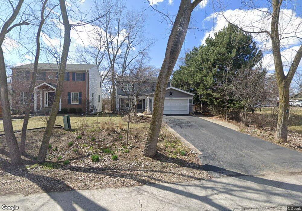
1056 S Riverside Dr Elmhurst, IL 60126
Estimated Value: $444,148 - $534,000
Studio
--
Bath
1,832
Sq Ft
$267/Sq Ft
Est. Value
About This Home
This home is located at 1056 S Riverside Dr, Elmhurst, IL 60126 and is currently estimated at $488,537, approximately $266 per square foot. 1056 S Riverside Dr is a home located in DuPage County with nearby schools including Salt Creek Elementary School, Stella May Swartz Elementary School, and John E Albright Middle School.
Ownership History
Date
Name
Owned For
Owner Type
Purchase Details
Closed on
Jun 8, 2017
Sold by
Jorie Hallorare Michael and Jorie Barlholandce
Bought by
Stborn David E S and Strohm Linda
Current Estimated Value
Purchase Details
Closed on
Apr 28, 1994
Sold by
Midwest Bank & Trust Company
Bought by
Halloran Michael J and Halloran Linda A
Home Financials for this Owner
Home Financials are based on the most recent Mortgage that was taken out on this home.
Original Mortgage
$146,000
Interest Rate
8.34%
Create a Home Valuation Report for This Property
The Home Valuation Report is an in-depth analysis detailing your home's value as well as a comparison with similar homes in the area
Home Values in the Area
Average Home Value in this Area
Purchase History
| Date | Buyer | Sale Price | Title Company |
|---|---|---|---|
| Stborn David E S | -- | None Available | |
| Shron Davis Eb | -- | None Available | |
| Halloran Michael J | $147,500 | -- |
Source: Public Records
Mortgage History
| Date | Status | Borrower | Loan Amount |
|---|---|---|---|
| Previous Owner | Halloran Michael J | $146,000 |
Source: Public Records
Tax History
| Year | Tax Paid | Tax Assessment Tax Assessment Total Assessment is a certain percentage of the fair market value that is determined by local assessors to be the total taxable value of land and additions on the property. | Land | Improvement |
|---|---|---|---|---|
| 2024 | $6,189 | $130,352 | $34,821 | $95,531 |
| 2023 | $5,275 | $120,540 | $32,200 | $88,340 |
| 2022 | $6,794 | $147,900 | $30,970 | $116,930 |
| 2021 | $6,908 | $144,220 | $30,200 | $114,020 |
| 2020 | $6,829 | $141,060 | $29,540 | $111,520 |
| 2019 | $6,551 | $134,110 | $28,080 | $106,030 |
| 2018 | $7,063 | $135,220 | $26,580 | $108,640 |
| 2017 | $6,957 | $128,860 | $25,330 | $103,530 |
| 2016 | $6,556 | $121,390 | $23,860 | $97,530 |
| 2015 | $6,466 | $113,090 | $22,230 | $90,860 |
| 2014 | $5,485 | $92,620 | $20,290 | $72,330 |
| 2013 | $5,429 | $93,930 | $20,580 | $73,350 |
Source: Public Records
Map
Nearby Homes
- 465 W Verret St
- 625 E Van Buren St
- 1335 S Villa Ave
- 964 S Hillside Ave
- 8 Saint Regis Ct
- 3 Charlotte Cir
- 3 Dewalt Ct
- 1S045 Spring Rd Unit H2
- 1S045 Spring Rd Unit 1D
- 1S055 Spring Rd Unit 1C
- 1105 S Euclid Ave
- 2 S Atrium Way Unit 606
- 868 S Spring Rd
- 995 S Swain Ave
- 20 Oak Tree Ct
- 4 Oak Brook Club Dr Unit G205
- 0S639 Summit Ave
- 1 Maple Tree Ct
- 769 S Fairview Ave
- 614 E Madison St
- 1058 S Riverside Dr
- 1050 S Riverside Dr
- 503 W Avery St
- 1057 S Riverside Dr
- 1051 S Riverside Dr
- 1042 S Riverside Dr
- 501 W Avery St
- 1045 S Riverside Dr
- 495 W Avery St
- 1041 S State Route 83
- 1039 S Riverside Dr
- 1030 S Riverside Dr
- 480 W Commonwealth Ln
- 1033 S Riverside Dr
- 489 W Avery St
- 483 W Commonwealth Ln
- 476 W Commonwealth Ln
- 500 W Avery St
- 485 W Avery St
Your Personal Tour Guide
Ask me questions while you tour the home.