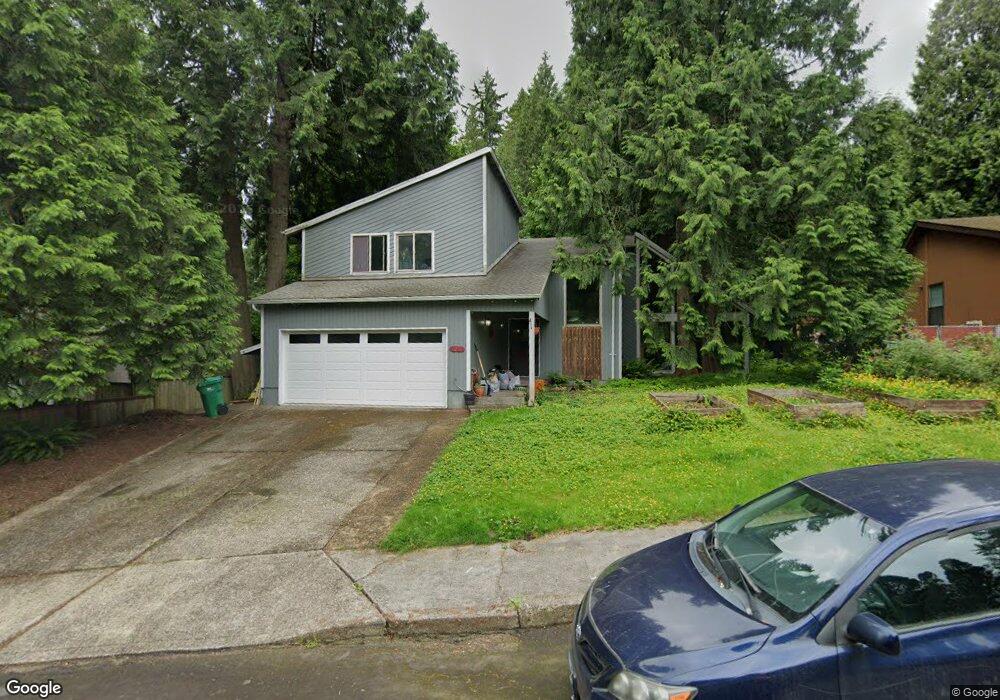
1056 SE 23 Ct Privacy Gresham, OR 97080
Gresham Butte NeighborhoodEstimated Value: $507,000 - $564,951
3
Beds
3
Baths
2,174
Sq Ft
$251/Sq Ft
Est. Value
About This Home
This home is located at 1056 SE 23 Ct Privacy, Gresham, OR 97080 and is currently estimated at $546,238, approximately $251 per square foot. 1056 SE 23 Ct Privacy is a home located in Multnomah County with nearby schools including East Gresham Elementary School, Dexter McCarty Middle School, and Gresham High School.
Ownership History
Date
Name
Owned For
Owner Type
Purchase Details
Closed on
Sep 26, 2005
Sold by
Blake Scott
Bought by
Simpson Roberta L
Current Estimated Value
Home Financials for this Owner
Home Financials are based on the most recent Mortgage that was taken out on this home.
Original Mortgage
$106,000
Outstanding Balance
$55,898
Interest Rate
5.72%
Mortgage Type
Fannie Mae Freddie Mac
Estimated Equity
$490,340
Purchase Details
Closed on
Nov 28, 2000
Sold by
Partington Charles
Bought by
Blake Scott and Blake Maria
Home Financials for this Owner
Home Financials are based on the most recent Mortgage that was taken out on this home.
Original Mortgage
$168,625
Interest Rate
7.86%
Mortgage Type
Purchase Money Mortgage
Create a Home Valuation Report for This Property
The Home Valuation Report is an in-depth analysis detailing your home's value as well as a comparison with similar homes in the area
Home Values in the Area
Average Home Value in this Area
Purchase History
| Date | Buyer | Sale Price | Title Company |
|---|---|---|---|
| Simpson Roberta L | $271,950 | Fidelity Natl Title Co Of Or | |
| Blake Scott | $177,500 | Fidelity National Title Co |
Source: Public Records
Mortgage History
| Date | Status | Borrower | Loan Amount |
|---|---|---|---|
| Open | Simpson Roberta L | $106,000 | |
| Previous Owner | Blake Scott | $168,625 |
Source: Public Records
Tax History
| Year | Tax Paid | Tax Assessment Tax Assessment Total Assessment is a certain percentage of the fair market value that is determined by local assessors to be the total taxable value of land and additions on the property. | Land | Improvement |
|---|---|---|---|---|
| 2025 | $6,697 | $329,080 | -- | -- |
| 2024 | $6,410 | $319,500 | -- | -- |
| 2023 | $5,840 | $310,200 | $0 | $0 |
| 2022 | $5,677 | $301,170 | $0 | $0 |
| 2021 | $5,534 | $292,400 | $0 | $0 |
| 2020 | $5,207 | $283,890 | $0 | $0 |
| 2019 | $5,071 | $275,630 | $0 | $0 |
| 2018 | $4,835 | $267,610 | $0 | $0 |
| 2017 | $4,639 | $259,820 | $0 | $0 |
| 2016 | $4,090 | $252,260 | $0 | $0 |
Source: Public Records
Map
Nearby Homes
- 2581 SE Morlan Way
- 2024 SE Spruce Ave
- 1918 SE Regner Rd
- 1696 SE 26th Dr
- 2909 SE Liberty Place
- 2678 SE Myrtlewood Way
- 2440 SE Regner Rd
- 2925 SE Cleveland Dr
- 242 SE 29th St
- 511 SE 15th St
- 1414 SE Beech Place
- 2125 SE 18th Aly
- 2137 SE 15th Aly
- 2240 SE 16th St
- 0 SW Miller Ct Unit 470855683
- 2293 SE 15th Aly
- 2392 SE 16th Aly
- 55 SW Lovhar Dr
- 1949 SE Palmquist Rd Unit 51
- 1949 SE Palmquist Rd Unit 91
- 1056 SE 23rd Ct
- 1078 SE 23rd Ct
- 2414 SE Cleveland Ave
- 2436 SE Cleveland Ave
- 1120 SE 23rd Ct
- 1063 SE 23rd Ct
- 2490 SE Cleveland Ave
- 1031 SE 23rd Ct
- 1142 SE 23rd Ct
- 2521 SE Morlan Way
- 2333 SE Cleveland Ave
- 2393 SE Cleveland Ave
- 2549 SE Morlan Way
- 2415 SE Cleveland Ave
- 1147 SE 23rd Ct
- 976 SE Phoebe Ct
- 944 SE Phoebe Ct
- 1030 SE 22nd Ct
- 2500 SE Cleveland Ave
- 1100 SE 22nd Ct
Your Personal Tour Guide
Ask me questions while you tour the home.