10560 N 530 Rd Tahlequah, OK 74464
Estimated Value: $487,000 - $538,000
4
Beds
3
Baths
3,328
Sq Ft
$156/Sq Ft
Est. Value
About This Home
This home is located at 10560 N 530 Rd, Tahlequah, OK 74464 and is currently estimated at $519,326, approximately $156 per square foot. 10560 N 530 Rd is a home located in Cherokee County with nearby schools including Lowrey School.
Ownership History
Date
Name
Owned For
Owner Type
Purchase Details
Closed on
Apr 15, 2005
Sold by
Williams Joe David
Bought by
Sisco Terry L
Current Estimated Value
Home Financials for this Owner
Home Financials are based on the most recent Mortgage that was taken out on this home.
Original Mortgage
$184,990
Interest Rate
5.78%
Mortgage Type
Construction
Purchase Details
Closed on
Sep 7, 2004
Sold by
Est-Mary Williams Astin
Bought by
Joe David Williams
Create a Home Valuation Report for This Property
The Home Valuation Report is an in-depth analysis detailing your home's value as well as a comparison with similar homes in the area
Home Values in the Area
Average Home Value in this Area
Purchase History
| Date | Buyer | Sale Price | Title Company |
|---|---|---|---|
| Sisco Terry L | $21,000 | Tahlequah Abstract Casing Se | |
| Joe David Williams | -- | -- |
Source: Public Records
Mortgage History
| Date | Status | Borrower | Loan Amount |
|---|---|---|---|
| Closed | Sisco Terry L | $184,990 |
Source: Public Records
Tax History Compared to Growth
Tax History
| Year | Tax Paid | Tax Assessment Tax Assessment Total Assessment is a certain percentage of the fair market value that is determined by local assessors to be the total taxable value of land and additions on the property. | Land | Improvement |
|---|---|---|---|---|
| 2025 | $1,881 | $26,117 | $5,507 | $20,610 |
| 2024 | $1,881 | $25,357 | $5,347 | $20,010 |
| 2023 | $1,881 | $24,619 | $4,914 | $19,705 |
| 2022 | $1,796 | $23,902 | $4,690 | $19,212 |
| 2021 | $1,734 | $23,205 | $4,550 | $18,655 |
| 2020 | $1,540 | $22,529 | $4,415 | $18,114 |
| 2019 | $1,664 | $21,873 | $4,284 | $17,589 |
| 2018 | $1,621 | $21,236 | $4,156 | $17,080 |
| 2017 | $1,589 | $20,618 | $3,872 | $16,746 |
| 2016 | $1,545 | $20,017 | $4,150 | $15,867 |
| 2015 | $1,286 | $19,434 | $5,321 | $14,113 |
| 2014 | $1,286 | $18,509 | $5,062 | $13,447 |
Source: Public Records
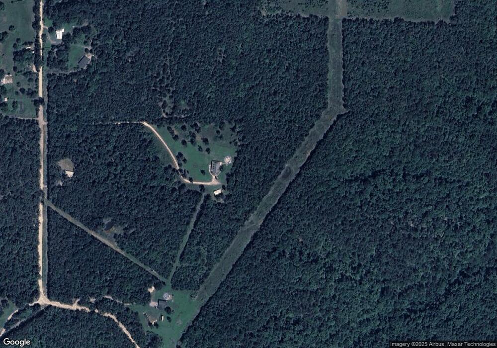
Map
Nearby Homes
- 11457 N 510 Rd
- 12562 N Webster Rd
- 18079 E 680 Rd
- 17844 E 688 Rd
- 00000 E 660 Rd
- 8195 Highway 82a
- 8119 N 544 Rd
- 21088 E Steely Hollow Rd
- 20819 E Steely Hollow Rd
- TBD Blk 1 Lot 11 E Steely Hollow Rd
- TBD Blk 1 Lot 4 E Steely Hollow Rd
- TBD BLK 1 Lot 10 E Steely Hollow Rd
- TBD BLK 1 Lot 9 E Steely Hollow Rd
- TBD Blk 1 Lot 1 E Steely Hollow Rd
- TBD BLK 1 Lot 2 E Steely Hollow Rd
- TBD Blk 1 Lot 6 E Steely Hollow Rd
- TBD Blk 1 Lot 8 E Steely Hollow Rd
- TBD Blk 1 Lot 5 E Steely Hollow Rd
- 22449 E 664 Rd
- 13725 N 527 Rd
- 10436 N 530 Rd
- 10340 N 530 Rd
- 10559 N 530 Rd
- 10795 N 530 Rd
- 11038 N 530 Rd
- 11065 N 530 Rd
- 11019 N 530 Rd
- 11019 N 530 Rd
- 0 E Dixie Pkwy Unit 1530775
- 0 E Dixie Pkwy Unit 1611855
- 0 E Dixie Pkwy Unit 1704812
- 0 E Dixie Pkwy Unit 1729752
- 0 E Dixie Pkwy Unit 1804008
- 0 E Dixie Pkwy Unit 1828729
- 0 E Dixie Pkwy Unit 1842311
- 20564 E Dixie Pkwy
- 11048 N 530 Rd
- 20451 Highway 82b
- 10219 N 538 Rd
- 20761 Highway 82b