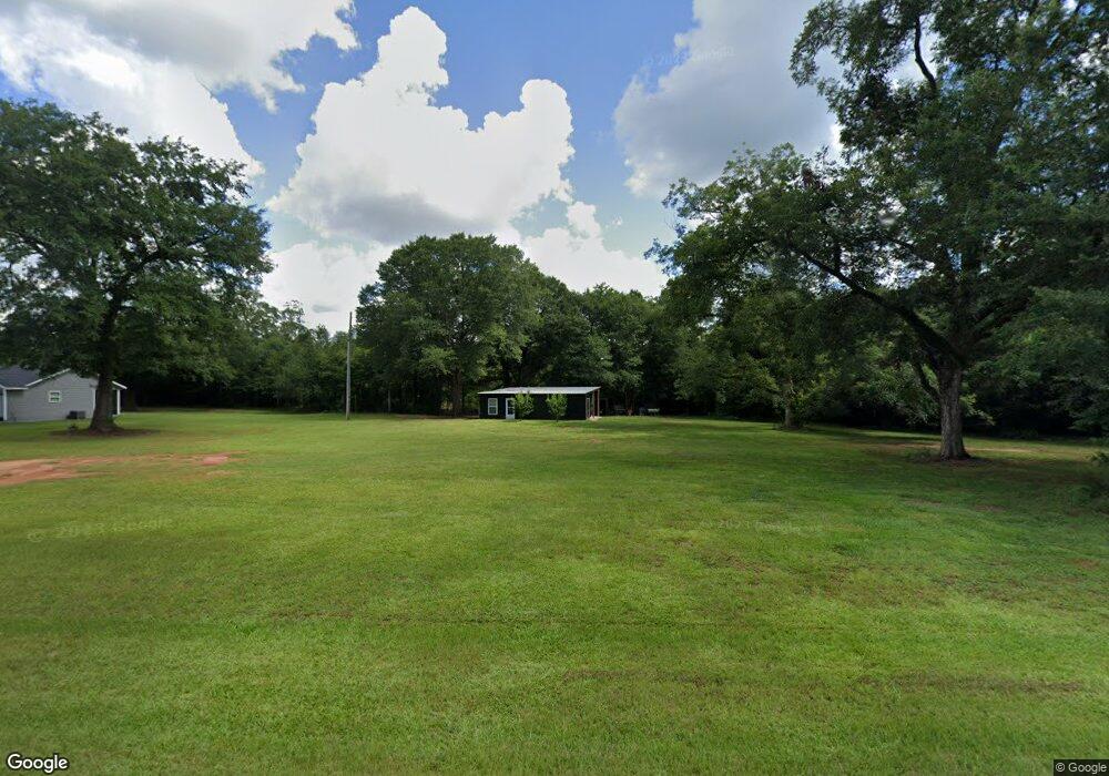
10560 W Lee St Dawson, GA 39842
Estimated Value: $124,000 - $163,356
--
Bed
--
Bath
1,229
Sq Ft
$117/Sq Ft
Est. Value
About This Home
This home is located at 10560 W Lee St, Dawson, GA 39842 and is currently estimated at $143,678, approximately $116 per square foot. 10560 W Lee St is a home with nearby schools including Cooper-Carver Elementary School, Terrell Middle School, and Terrell High School.
Ownership History
Date
Name
Owned For
Owner Type
Purchase Details
Closed on
Jul 11, 2018
Sold by
Reynolds Timothy James
Bought by
Harp Troy G
Current Estimated Value
Purchase Details
Closed on
Mar 24, 2017
Sold by
Smith Roger L
Bought by
Reynolds Timothy James
Purchase Details
Closed on
Dec 1, 2005
Sold by
Peeler David H
Bought by
Smith Roger L and Smith Lucille C
Purchase Details
Closed on
Mar 14, 2003
Sold by
Langford Bryson H
Bought by
Peeler David H
Purchase Details
Closed on
Dec 13, 2001
Sold by
Terry Farms Inc
Bought by
Langford Bryson H
Create a Home Valuation Report for This Property
The Home Valuation Report is an in-depth analysis detailing your home's value as well as a comparison with similar homes in the area
Home Values in the Area
Average Home Value in this Area
Purchase History
| Date | Buyer | Sale Price | Title Company |
|---|---|---|---|
| Harp Troy G | $15,000 | -- | |
| Reynolds Timothy James | $11,000 | -- | |
| Smith Roger L | $14,000 | -- | |
| Peeler David H | $6,000 | -- | |
| Langford Bryson H | $16,300 | -- |
Source: Public Records
Tax History Compared to Growth
Tax History
| Year | Tax Paid | Tax Assessment Tax Assessment Total Assessment is a certain percentage of the fair market value that is determined by local assessors to be the total taxable value of land and additions on the property. | Land | Improvement |
|---|---|---|---|---|
| 2024 | $1,365 | $44,878 | $2,826 | $42,052 |
| 2023 | $1,162 | $44,878 | $2,826 | $42,052 |
| 2022 | $1,162 | $44,878 | $2,826 | $42,052 |
| 2021 | $141 | $4,537 | $2,826 | $1,711 |
| 2020 | $141 | $4,537 | $2,826 | $1,711 |
| 2019 | $136 | $4,537 | $2,826 | $1,711 |
| 2018 | $115 | $3,826 | $2,826 | $1,000 |
| 2017 | $115 | $3,826 | $2,826 | $1,000 |
| 2016 | $97 | $3,226 | $2,826 | $400 |
| 2015 | -- | $3,225 | $2,826 | $400 |
| 2014 | -- | $4,304 | $2,826 | $1,478 |
| 2013 | -- | $4,304 | $2,825 | $1,478 |
Source: Public Records
Map
Nearby Homes
- 48 Cheney St
- 6 E Railroad St
- 6605 Pearl St
- Pierce Rd
- 0 Carver St
- 4560 Graves Hwy
- 2373 Moncus Rd
- 540 Veneys Mill Pond Rd
- 161 College St
- 0 Main St
- 151 College St NE
- 109 Main St
- 318 Church St
- 2055 Payne Pond Rd
- 1853 Warner Rd
- 0 Cattle Gap Rd
- 6310 Georgia 520
- 109 Cattle Gap Rd
- 13XX Graves Hwy
- 3649 Benevolence Hwy