10561 Aberdeen Ln Easton, MD 21601
Estimated Value: $1,527,000 - $2,209,881
--
Bed
3
Baths
4,184
Sq Ft
$473/Sq Ft
Est. Value
About This Home
This home is located at 10561 Aberdeen Ln, Easton, MD 21601 and is currently estimated at $1,976,960, approximately $472 per square foot. 10561 Aberdeen Ln is a home located in Talbot County with nearby schools including St. Michaels Elementary School, St. Michaels Middle/High School, and Easton High School.
Ownership History
Date
Name
Owned For
Owner Type
Purchase Details
Closed on
Dec 17, 1998
Sold by
Valliant Edwin S
Bought by
Valliant Edwin S
Current Estimated Value
Purchase Details
Closed on
Jan 21, 1988
Sold by
Peatmore Land Joint Venture
Bought by
Valliant Edwin S
Purchase Details
Closed on
Sep 18, 1987
Sold by
Sandusky Real Estate Inv. Corp.
Bought by
Peatmore Land Joint Venture
Home Financials for this Owner
Home Financials are based on the most recent Mortgage that was taken out on this home.
Original Mortgage
$3,300,000
Interest Rate
10.99%
Create a Home Valuation Report for This Property
The Home Valuation Report is an in-depth analysis detailing your home's value as well as a comparison with similar homes in the area
Home Values in the Area
Average Home Value in this Area
Purchase History
| Date | Buyer | Sale Price | Title Company |
|---|---|---|---|
| Valliant Edwin S | -- | -- | |
| Valliant Edwin S | -- | -- | |
| Valliant Edwin S | $383,100 | -- | |
| Peatmore Land Joint Venture | $2,800,000 | -- |
Source: Public Records
Mortgage History
| Date | Status | Borrower | Loan Amount |
|---|---|---|---|
| Previous Owner | Peatmore Land Joint Venture | $3,300,000 |
Source: Public Records
Tax History Compared to Growth
Tax History
| Year | Tax Paid | Tax Assessment Tax Assessment Total Assessment is a certain percentage of the fair market value that is determined by local assessors to be the total taxable value of land and additions on the property. | Land | Improvement |
|---|---|---|---|---|
| 2025 | $7,898 | $1,191,967 | $0 | $0 |
| 2024 | $7,898 | $1,145,000 | $552,400 | $592,600 |
| 2023 | $7,459 | $1,121,167 | $0 | $0 |
| 2022 | $6,908 | $1,097,333 | $0 | $0 |
| 2021 | $6,497 | $1,073,500 | $504,100 | $569,400 |
| 2020 | $6,497 | $1,073,500 | $504,100 | $569,400 |
| 2019 | $6,497 | $1,073,500 | $504,100 | $569,400 |
| 2018 | $6,345 | $1,129,200 | $552,400 | $576,800 |
| 2017 | $6,053 | $1,129,200 | $0 | $0 |
| 2016 | $5,747 | $1,129,200 | $0 | $0 |
| 2015 | $5,508 | $1,152,900 | $0 | $0 |
| 2014 | $5,508 | $1,152,900 | $0 | $0 |
Source: Public Records
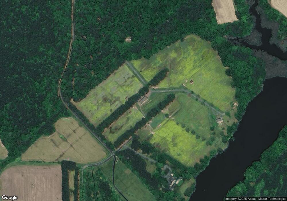
Map
Nearby Homes
- 9900 Eagle Dr
- 27772 Sharp Rd
- 9517 Gulleys Cove Ln
- 27047 Presquile Rd
- 9361 Woodstock Ln
- 26972 Tunis Mills Rd
- 8629 Unionville Rd
- 11470 Wye Heights Rd
- 0 Unionville Rd Unit MDTA2008824
- 11340 Longwoods Rd
- 27413 Ferry Bridge Rd
- 10118 Hiners Ln
- 11977 Billys Point Ln
- 27460 Rest Cir
- 29414 Andrew Ln
- 26546 Presquile Dr N
- 29 Kensington Dr
- 11 Park Ln
- 12 Park Ln
- 3 Park Ln
- 10445 Aberdeen Ln
- 10439 Aberdeen Ln
- 10419 Aberdeen Ln
- 10487 Lake Rd
- 27523 Little Park Rd
- 10555 Lake Rd
- 10490 Lake Rd
- 10500 Lake Rd
- 10530 Lake Rd
- 10265 Kintore Dr
- 10600 Lake Rd
- 27817 Little Park Rd
- 10626 Lake Rd
- 224 Lake Rd
- 222 Lake Rd
- 27336 Little Park Rd
- 10387 Todds Corner Rd
- 10241 Kintore Dr
- 27849 Little Park Rd
- 10478 Todds Corner Rd