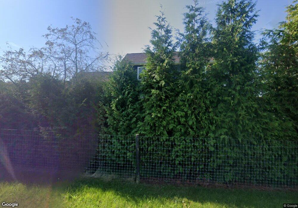
10563 Swoveland Rd Greens Fork, IN 47345
Estimated Value: $234,000 - $280,000
3
Beds
1
Bath
2,551
Sq Ft
$102/Sq Ft
Est. Value
About This Home
This home is located at 10563 Swoveland Rd, Greens Fork, IN 47345 and is currently estimated at $261,445, approximately $102 per square foot. 10563 Swoveland Rd is a home located in Wayne County with nearby schools including Hagerstown Elementary School, Hagerstown Junior/Senior High School, and Walnut Level School.
Ownership History
Date
Name
Owned For
Owner Type
Purchase Details
Closed on
Mar 17, 2020
Sold by
King Jacob E
Bought by
King Jacob E and King Sadie F
Current Estimated Value
Home Financials for this Owner
Home Financials are based on the most recent Mortgage that was taken out on this home.
Original Mortgage
$120,000
Outstanding Balance
$82,901
Interest Rate
3.4%
Mortgage Type
New Conventional
Estimated Equity
$178,544
Purchase Details
Closed on
Oct 30, 2009
Sold by
Garrett Christopher and Garrett Angela
Bought by
King Jacob E
Home Financials for this Owner
Home Financials are based on the most recent Mortgage that was taken out on this home.
Original Mortgage
$100,000
Interest Rate
5.07%
Mortgage Type
Purchase Money Mortgage
Create a Home Valuation Report for This Property
The Home Valuation Report is an in-depth analysis detailing your home's value as well as a comparison with similar homes in the area
Home Values in the Area
Average Home Value in this Area
Purchase History
| Date | Buyer | Sale Price | Title Company |
|---|---|---|---|
| King Jacob E | -- | None Available | |
| King Jacob E | -- | -- |
Source: Public Records
Mortgage History
| Date | Status | Borrower | Loan Amount |
|---|---|---|---|
| Open | King Jacob E | $120,000 | |
| Previous Owner | King Jacob E | $100,000 |
Source: Public Records
Tax History Compared to Growth
Tax History
| Year | Tax Paid | Tax Assessment Tax Assessment Total Assessment is a certain percentage of the fair market value that is determined by local assessors to be the total taxable value of land and additions on the property. | Land | Improvement |
|---|---|---|---|---|
| 2024 | $1,398 | $154,100 | $27,400 | $126,700 |
| 2023 | $1,369 | $143,300 | $24,200 | $119,100 |
| 2022 | $1,423 | $143,200 | $22,200 | $121,000 |
| 2021 | $1,314 | $129,900 | $21,200 | $108,700 |
| 2020 | $1,238 | $126,900 | $20,900 | $106,000 |
| 2019 | $1,179 | $126,600 | $22,300 | $104,300 |
| 2018 | $1,186 | $127,700 | $22,600 | $105,100 |
| 2017 | $1,177 | $129,500 | $23,800 | $105,700 |
| 2016 | $1,307 | $136,900 | $32,600 | $104,300 |
| 2014 | $1,160 | $132,000 | $32,600 | $99,400 |
| 2013 | $1,160 | $128,500 | $32,600 | $95,900 |
Source: Public Records
Map
Nearby Homes
- 314 S Main St
- 8171 George Early Rd
- 200 N Elm St
- 425 N Elm St
- 50 Grandview Ct
- 475 N Washington St
- 9683 U S 40
- 6357 Dalton Rd
- 6855 N Centerville Rd
- 5159 State Road 38
- 207 College Corner Rd
- 210 Sunset Ave
- 210 Elm St
- 8292 Main St
- 1003 N Morton Ave
- 0 Walnut St
- 274 4th St
- 502 N 1st St
- 0 Ellen Ct
- Lot 29 Ellen Ct
- TBD Swoveland Rd
- 10201 Swoveland Rd
- 4499 Sugar Grove Rd
- 4800 Sugar Grove Rd
- 4577 Sugar Grove Rd
- 4640 Sugar Grove Rd
- 11182 Swoveland Rd
- 10029 Swoveland Rd
- 4785 Sugar Grove Rd
- 3619 Sugar Grove Rd
- 9880 Swoveland Rd
- 10792 Ted Davis Rd
- 10802 Ted Davis Rd
- 4877 Sugar Grove Rd
- 10223 State Road 38
- 11399 Swoveland Rd
- 10422 State Road 38
- 10191 State Road 38
- 10276 State Road 38
- 10226 State Road 38