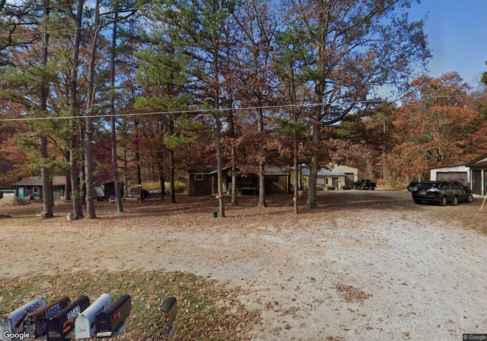
10564 Highway Pp Poplar Bluff, MO 63901
Estimated Value: $94,358 - $219,000
2
Beds
--
Bath
1,080
Sq Ft
$124/Sq Ft
Est. Value
About This Home
This home is located at 10564 Highway Pp, Poplar Bluff, MO 63901 and is currently estimated at $133,840, approximately $123 per square foot. 10564 Highway Pp is a home located in Butler County with nearby schools including Oak Grove Elementary School, Poplar Bluff Fifth & Sixth Grade Center, and Poplar Bluff Junior High School.
Ownership History
Date
Name
Owned For
Owner Type
Purchase Details
Closed on
Sep 20, 2021
Sold by
Burgin Wayne A and Burgin Karen S
Bought by
Thompson Larry Bruce
Current Estimated Value
Home Financials for this Owner
Home Financials are based on the most recent Mortgage that was taken out on this home.
Original Mortgage
$37,000
Outstanding Balance
$27,287
Interest Rate
2.1%
Mortgage Type
Future Advance Clause Open End Mortgage
Estimated Equity
$106,553
Purchase Details
Closed on
Jul 15, 2021
Sold by
Birnel Edward and Birnel Donna
Bought by
Thompson Larry B
Home Financials for this Owner
Home Financials are based on the most recent Mortgage that was taken out on this home.
Original Mortgage
$15,000
Interest Rate
2.9%
Mortgage Type
Future Advance Clause Open End Mortgage
Create a Home Valuation Report for This Property
The Home Valuation Report is an in-depth analysis detailing your home's value as well as a comparison with similar homes in the area
Purchase History
| Date | Buyer | Sale Price | Title Company |
|---|---|---|---|
| Thompson Larry Bruce | -- | None Available | |
| Thompson Larry B | -- | Heritage Title Company |
Source: Public Records
Mortgage History
| Date | Status | Borrower | Loan Amount |
|---|---|---|---|
| Open | Thompson Larry Bruce | $37,000 | |
| Previous Owner | Thompson Larry B | $15,000 |
Source: Public Records
Tax History
| Year | Tax Paid | Tax Assessment Tax Assessment Total Assessment is a certain percentage of the fair market value that is determined by local assessors to be the total taxable value of land and additions on the property. | Land | Improvement |
|---|---|---|---|---|
| 2025 | $386 | $8,880 | $0 | $0 |
| 2024 | $4 | $8,240 | $0 | $0 |
| 2023 | $367 | $8,240 | $0 | $0 |
| 2022 | $355 | $7,980 | $0 | $0 |
| 2021 | $355 | $7,980 | $0 | $0 |
| 2020 | $338 | $7,480 | $0 | $0 |
| 2019 | $337 | $7,480 | $0 | $0 |
| 2018 | $337 | $7,480 | $0 | $0 |
| 2017 | -- | $7,480 | $0 | $0 |
| 2016 | -- | $7,480 | $0 | $0 |
| 2015 | -- | $7,480 | $0 | $0 |
| 2014 | -- | $7,000 | $0 | $0 |
| 2012 | $264 | $7,000 | $0 | $0 |
Source: Public Records
Map
Nearby Homes
- 9711 Highway Pp
- 139 County Road 425
- 1181 Highway 60 W
- Tbd County Road 426
- 109 Lanee Ln
- TBD County Road 426
- 6708 Brown Ln
- 205 Batson Lake Ln
- 8102 Woodland Meadow Dr
- 16 Boulder Trail
- 0 Boulder Trail
- 4 Woodland Heights W
- 9 Woodland Heights W
- 14 Woodland Heights W
- 6 Woodland Heights W
- 5 Woodland Heights W
- 3 Woodland Heights W
- 13 Woodland Heights W
- 10 Woodland Heights W
- 16 Woodland Heights W
- 10584 Highway Pp
- 10528 Highway Pp
- 10546 Highway Pp
- 10486 Highway Pp Hwy
- 85 W Magnolia Ln
- 10533 Highway Pp
- 10533 Highway Pp
- 133 Magnolia Ln
- 10683 Highway Pp
- 10399 Highway Pp
- 161 Magnolia Ln
- 10360 Highway Pp
- 10328 Highway Pp
- 10966 Highway Pp
- 11034 Highway Pp
- 10250 Highway Pp
- 108 Briarwood Place
- 10284 Highway Pp
- 780 County Road 425
- 0 County Road 425
Your Personal Tour Guide
Ask me questions while you tour the home.