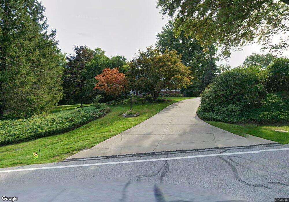
10565 Worrell Rd Willoughby, OH 44094
Estimated Value: $356,190 - $405,000
4
Beds
3
Baths
1,312
Sq Ft
$293/Sq Ft
Est. Value
About This Home
This home is located at 10565 Worrell Rd, Willoughby, OH 44094 and is currently estimated at $384,048, approximately $292 per square foot. 10565 Worrell Rd is a home located in Lake County with nearby schools including Kirtland Elementary School, Kirtland Middle School, and Kirtland High School.
Ownership History
Date
Name
Owned For
Owner Type
Purchase Details
Closed on
Oct 15, 2007
Sold by
Raishart Francis G and Raishart Marilyn E
Bought by
Raishart Francis G and Raishart Marilyn E
Current Estimated Value
Purchase Details
Closed on
Jun 17, 1975
Bought by
Raishart Francis G
Create a Home Valuation Report for This Property
The Home Valuation Report is an in-depth analysis detailing your home's value as well as a comparison with similar homes in the area
Home Values in the Area
Average Home Value in this Area
Purchase History
| Date | Buyer | Sale Price | Title Company |
|---|---|---|---|
| Raishart Francis G | -- | Attorney | |
| Raishart Francis G | -- | -- |
Source: Public Records
Tax History Compared to Growth
Tax History
| Year | Tax Paid | Tax Assessment Tax Assessment Total Assessment is a certain percentage of the fair market value that is determined by local assessors to be the total taxable value of land and additions on the property. | Land | Improvement |
|---|---|---|---|---|
| 2024 | -- | $113,290 | $28,570 | $84,720 |
| 2023 | $10,029 | $95,770 | $23,410 | $72,360 |
| 2022 | $4,520 | $95,770 | $23,410 | $72,360 |
| 2021 | $4,523 | $95,770 | $23,410 | $72,360 |
| 2020 | $4,643 | $81,160 | $19,840 | $61,320 |
| 2019 | $4,636 | $81,160 | $19,840 | $61,320 |
| 2018 | $4,785 | $77,660 | $24,290 | $53,370 |
| 2017 | $4,833 | $77,660 | $24,290 | $53,370 |
| 2016 | $4,821 | $77,660 | $24,290 | $53,370 |
| 2015 | $4,755 | $77,660 | $24,290 | $53,370 |
| 2014 | $4,808 | $77,660 | $24,290 | $53,370 |
| 2013 | $4,671 | $77,660 | $24,290 | $53,370 |
Source: Public Records
Map
Nearby Homes
- 38430 Chardon Rd
- 2760 Loreto Dr
- 2925 Mill Gate Dr
- 7454 Euclid Chardon Rd
- 10028 and 10000 Hobart Rd
- 37531 Milann Dr
- 38195 Dodds Hill Dr
- 7473 Shadowbrook Dr
- 11240 W Walnut Ridge Rd
- 6915 Eagle Rd
- 10899 Tibbetts Rd
- 7959 Gates Mills Estates
- 37150 Eagle Rd
- 7840 Gates Mills Estate Dr
- 8051 Euclid Chardon Rd
- S/L 2 Giovanni Ave
- 8141 Euclid Chardon Rd
- 560 County Line Rd
- 11065 Chillicothe Rd
- 9391 Hobart Rd
- 10575 Worrell Rd
- 2800 Worrell Rd
- 10601 Worrell Rd
- 2828 Worrell Rd
- 10535 Worrell Rd
- 10545 Worrell Rd
- 2780 Worrell Rd
- 2830 Worrell Rd
- 7114 Euclid Chardon Rd
- 10633 Worrell Rd
- 7132 Giuliano Dr
- 7090 Euclid Chardon Rd
- 7100 Euclid Chardon Rd
- 2770 Worrell Rd
- 7070 Euclid Chardon Rd
- 7140 Giuliano Dr
- s/l 2 County Line Rd
- 38650 Florence Dr
- 7123 Giuliano Dr
- 2838 Worrell Rd