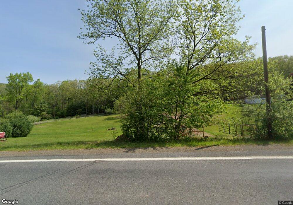
1056A State Route 239 Benton, PA 17814
Estimated Value: $111,000 - $217,000
--
Bed
--
Bath
1,040
Sq Ft
$154/Sq Ft
Est. Value
About This Home
This home is located at 1056A State Route 239, Benton, PA 17814 and is currently estimated at $159,810, approximately $153 per square foot. 1056A State Route 239 is a home located in Columbia County with nearby schools including Appleman Elementary School and Benton Area Middle School/High School.
Ownership History
Date
Name
Owned For
Owner Type
Purchase Details
Closed on
Jul 14, 2006
Sold by
Fritz Charles B and Estate Of Kay R Fritz
Bought by
Behr Kevin J
Current Estimated Value
Home Financials for this Owner
Home Financials are based on the most recent Mortgage that was taken out on this home.
Original Mortgage
$79,000
Outstanding Balance
$54,560
Interest Rate
9.84%
Mortgage Type
Assumption
Estimated Equity
$105,250
Create a Home Valuation Report for This Property
The Home Valuation Report is an in-depth analysis detailing your home's value as well as a comparison with similar homes in the area
Home Values in the Area
Average Home Value in this Area
Purchase History
| Date | Buyer | Sale Price | Title Company |
|---|---|---|---|
| Behr Kevin J | $79,000 | None Available |
Source: Public Records
Mortgage History
| Date | Status | Borrower | Loan Amount |
|---|---|---|---|
| Open | Behr Kevin J | $79,000 |
Source: Public Records
Tax History Compared to Growth
Tax History
| Year | Tax Paid | Tax Assessment Tax Assessment Total Assessment is a certain percentage of the fair market value that is determined by local assessors to be the total taxable value of land and additions on the property. | Land | Improvement |
|---|---|---|---|---|
| 2025 | $2,130 | $21,852 | $0 | $0 |
| 2024 | $2,037 | $21,852 | $6,214 | $15,638 |
| 2023 | $1,880 | $21,852 | $6,214 | $15,638 |
| 2022 | $1,777 | $21,852 | $6,214 | $15,638 |
| 2021 | $1,716 | $21,852 | $6,214 | $15,638 |
| 2020 | $1,636 | $21,852 | $6,214 | $15,638 |
| 2019 | $1,600 | $21,852 | $6,214 | $15,638 |
| 2018 | $1,563 | $21,852 | $6,214 | $15,638 |
| 2017 | $1,468 | $21,452 | $6,214 | $15,238 |
| 2016 | -- | $21,452 | $6,214 | $15,238 |
| 2015 | -- | $21,452 | $6,214 | $15,238 |
| 2014 | -- | $21,452 | $6,214 | $15,238 |
Source: Public Records
Map
Nearby Homes
- 573 Mendenhall Hill Rd
- 207 Klinger Hill Rd
- 491 Klinger Hill Rd
- 32 Schoolhouse Rd
- 271 Kearkuff Rd
- 1096 Elk Grove Rd
- 5063 Pennsylvania 487
- 0 5063 #19 State Route 487 Hwy
- Lot 22 5063 Pa-487
- LOT 4 Elkgrove Rd
- 972 Central Rd
- 12 Jamison City Rd
- LOT 3 Ridge Rd
- 133 Homebase Ln
- 01 S Comstock Rd
- 669 Pennsylvania 118
- 0 Raski Rd
- 4547 Red Rock Rd
- 0 Pennsylvania 42
- 157 Distillery Hill Rd
- 1056B State Route 239
- 1060 State Route 239
- 1078 State Route 239
- 22 Mountain Rd
- 12 Mountain Rd
- 996 State Route 239
- 982 State Route 239
- 986 State Route 239
- 1112 State Route 239
- 1112 State Route 239
- 948 State Route 239
- 16 Church Rd
- 958 State Route 239
- 264 Shultz Hollow Rd
- 914 Waller Divide Rd
- 1123 State Route 239
- 958 Pennsylvania 239
- 114 Andys Hill Rd
- 179 Pole Bridge Rd
- 125 Andys Hill Rd
