1057 N Easton Rd Doylestown, PA 18902
Plumstead NeighborhoodEstimated Value: $755,000 - $3,005,868
1
Bed
1
Bath
17,132
Sq Ft
$110/Sq Ft
Est. Value
About This Home
This home is located at 1057 N Easton Rd, Doylestown, PA 18902 and is currently estimated at $1,880,434, approximately $109 per square foot. 1057 N Easton Rd is a home located in Bucks County with nearby schools including Groveland Elementary School, Tohickon Middle School, and Central Bucks High School - East.
Ownership History
Date
Name
Owned For
Owner Type
Purchase Details
Closed on
Jan 28, 2013
Sold by
Hebel Thomas L and Hebel Barbara A
Bought by
Hebel Thomas L and Thomas L Hebel Revocable Trust
Current Estimated Value
Purchase Details
Closed on
Jan 17, 2013
Sold by
Hebel Thomas L and Hebel Barbara A
Bought by
Hebel Thomas L and Hebel Barbara A
Purchase Details
Closed on
Jul 18, 1996
Sold by
Royer Charles Richard and Hebel Thomas L
Bought by
Hebel Thomas L and Hebel Barbara A
Home Financials for this Owner
Home Financials are based on the most recent Mortgage that was taken out on this home.
Original Mortgage
$813,584
Interest Rate
8.28%
Mortgage Type
Commercial
Create a Home Valuation Report for This Property
The Home Valuation Report is an in-depth analysis detailing your home's value as well as a comparison with similar homes in the area
Home Values in the Area
Average Home Value in this Area
Purchase History
| Date | Buyer | Sale Price | Title Company |
|---|---|---|---|
| Hebel Thomas L | -- | None Available | |
| Hebel Thomas L | -- | None Available | |
| Hebel Thomas L | $523,063 | -- |
Source: Public Records
Mortgage History
| Date | Status | Borrower | Loan Amount |
|---|---|---|---|
| Closed | Hebel Thomas L | $813,584 |
Source: Public Records
Tax History Compared to Growth
Tax History
| Year | Tax Paid | Tax Assessment Tax Assessment Total Assessment is a certain percentage of the fair market value that is determined by local assessors to be the total taxable value of land and additions on the property. | Land | Improvement |
|---|---|---|---|---|
| 2025 | $39,358 | $226,520 | $75,120 | $151,400 |
| 2024 | $39,358 | $226,520 | $75,120 | $151,400 |
| 2023 | $38,107 | $226,520 | $75,120 | $151,400 |
| 2022 | $37,682 | $226,520 | $75,120 | $151,400 |
| 2021 | $37,260 | $226,520 | $75,120 | $151,400 |
| 2020 | $37,260 | $226,520 | $75,120 | $151,400 |
| 2019 | $5,493 | $226,520 | $75,120 | $151,400 |
| 2018 | $37,034 | $226,520 | $75,120 | $151,400 |
| 2017 | $36,524 | $226,520 | $75,120 | $151,400 |
| 2016 | $36,524 | $226,520 | $75,120 | $151,400 |
| 2015 | -- | $226,520 | $75,120 | $151,400 |
| 2014 | -- | $226,520 | $75,120 | $151,400 |
Source: Public Records
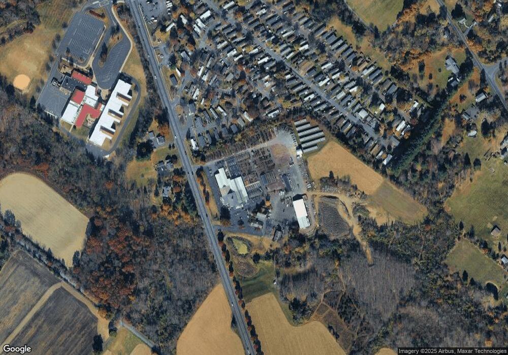
Map
Nearby Homes
- 4298 Kleinot Dr
- 4306 Kleinot Dr
- 4246 Kleinot Dr
- 4464 Kleinot Dr
- 4330 Kleinot Dr
- 4317 Kleinot Dr
- 4263 Kleinot Dr
- 3923 Ferry Rd
- 3838 Jacob Stout Rd
- 4748 Bishop Cir
- 3765 William Daves Rd
- 3711 Jacob Stout Rd Unit 5
- 0 Valley Park Rd
- 3723 William Daves Rd
- 4936 Curly Hill Rd
- 5437 Rinker Cir Unit 283
- 4964 Point Pleasant Pike
- 4221 Sir Andrew Cir
- 4190 Milords Ln
- 4811 Lincoln Aly
- 4338 Pear Dr
- 4338 Pear Dr
- 1066 N Easton Rd
- 1074 N Easton Rd
- 4337 Pear Dr
- 4368 Pear Dr
- 4349 Pear Dr
- 5119 River Birch Dr
- 5113 Riverbirch Dr
- 5131 River Birch Dr
- 4384 Pear Dr
- 4407 Pear Dr
- 4390 Pear Dr
- 4414 Pear Dr
- 5122 River Birch Dr
- 4427 Pear Dr
- 5134 River Birch Dr
- 5085 Roseberry Dr
- 4426 Pear Dr
- 4329 Alder Dr