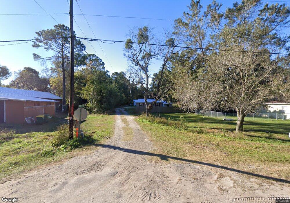
1057 Pack Ln SW Darien, GA 31305
Estimated Value: $110,390 - $196,000
--
Bed
--
Bath
922
Sq Ft
$173/Sq Ft
Est. Value
About This Home
This home is located at 1057 Pack Ln SW, Darien, GA 31305 and is currently estimated at $159,848, approximately $173 per square foot. 1057 Pack Ln SW is a home with nearby schools including Todd Grant Elementary School, McIntosh County Middle School, and McIntosh County Academy.
Ownership History
Date
Name
Owned For
Owner Type
Purchase Details
Closed on
Mar 4, 2022
Sold by
Baggs Florence
Bought by
Thompson Edwin Russell and Thompson Tizah
Current Estimated Value
Purchase Details
Closed on
Aug 8, 2003
Sold by
Cloutier Ronald W
Bought by
Cloutier Ronald W Illiam
Purchase Details
Closed on
Jun 6, 1997
Sold by
Boggs Judson R
Bought by
Cloutier Ronald W
Purchase Details
Closed on
Jul 18, 1995
Sold by
Sanborn Elizabeth
Bought by
Boggs Judson R
Purchase Details
Closed on
Mar 26, 1993
Bought by
Sanborn Elizabeth
Create a Home Valuation Report for This Property
The Home Valuation Report is an in-depth analysis detailing your home's value as well as a comparison with similar homes in the area
Home Values in the Area
Average Home Value in this Area
Purchase History
| Date | Buyer | Sale Price | Title Company |
|---|---|---|---|
| Thompson Edwin Russell | -- | -- | |
| Cloutier Ronald W Illiam | -- | -- | |
| Cloutier Ronald W | $26,500 | -- | |
| Boggs Judson R | $16,500 | -- | |
| Sanborn Elizabeth | $6,000 | -- |
Source: Public Records
Tax History Compared to Growth
Tax History
| Year | Tax Paid | Tax Assessment Tax Assessment Total Assessment is a certain percentage of the fair market value that is determined by local assessors to be the total taxable value of land and additions on the property. | Land | Improvement |
|---|---|---|---|---|
| 2024 | $932 | $28,120 | $6,000 | $22,120 |
| 2023 | $837 | $24,600 | $2,600 | $22,000 |
| 2022 | $741 | $21,160 | $2,600 | $18,560 |
| 2021 | $615 | $16,600 | $2,600 | $14,000 |
| 2020 | $608 | $16,160 | $2,600 | $13,560 |
| 2019 | $583 | $16,200 | $2,600 | $13,600 |
| 2018 | $430 | $16,200 | $2,600 | $13,600 |
| 2017 | $571 | $15,760 | $2,600 | $13,160 |
| 2016 | $571 | $15,760 | $2,600 | $13,160 |
| 2015 | $649 | $19,554 | $3,000 | $16,554 |
| 2014 | $650 | $19,554 | $3,000 | $16,554 |
Source: Public Records
Map
Nearby Homes
- 0 Us Hwy 17 Unit 327199
- 0 Us Hwy 17 Unit 10476315
- 135 Mohr Club Dr
- 102 Cathead Ln
- 111 Cathead Ln
- 1616 Ashantilly Dr
- 1606 Ashantilly Dr
- 1613 Ashantilly Dr
- 1194 Redfish Dr SE
- 1225 Market St
- 282 Bridgewater Ln
- 1027 Ca Devillars Rd
- 1015 Elbert St
- 0 Franklin St Unit 142919
- 309 Haven Dr
- 1005 Elbert St
- 1048 Austin Place
- 902 Old River Rd
- 2101 Black Rd
- vacant 8th St W
- 1050 Pack Ln SW
- 1066 Pack Ln SW
- 5401 Us Highway 17
- 1043 Pack Rd
- 1079 Pack Rd SW
- 5423 Highway 17
- 1085 Pack Rd SW
- 5380 Us Highway 17
- 5380 Hwy 17
- 1103 Pack Rd SW
- 1058 Pack Rd SW
- 5471 Us Highway 17
- 5412 Us Highway 17
- 1060 Sand St SE
- 1027 Spaulding St SW
- 1093 N Darien St SW
- 306 Pack Rd
- 1102 Pack Rd SW
- 1026 Spaulding St SW
- 1607 Spalding St