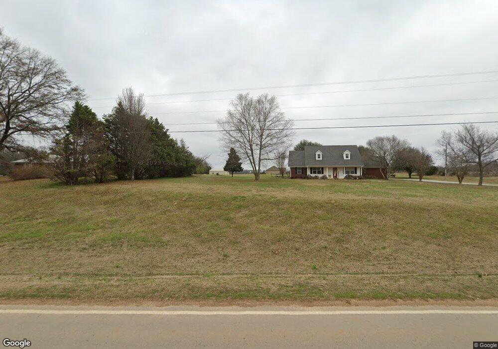
1057 Toxish Rd Pontotoc, MI 38863
Estimated Value: $210,261 - $375,000
3
Beds
2
Baths
1,650
Sq Ft
$191/Sq Ft
Est. Value
About This Home
This home is located at 1057 Toxish Rd, Pontotoc, MI 38863 and is currently estimated at $315,815, approximately $191 per square foot. 1057 Toxish Rd is a home located in Pontotoc County.
Ownership History
Date
Name
Owned For
Owner Type
Purchase Details
Closed on
Aug 23, 2018
Sold by
Stacy Michael S
Bought by
Collins Joseph P and Collins Sara
Current Estimated Value
Home Financials for this Owner
Home Financials are based on the most recent Mortgage that was taken out on this home.
Original Mortgage
$161,616
Outstanding Balance
$140,663
Interest Rate
4.6%
Mortgage Type
New Conventional
Estimated Equity
$175,152
Purchase Details
Closed on
Sep 6, 2016
Sold by
Warren Robert B
Bought by
Stacy Michael Seth
Home Financials for this Owner
Home Financials are based on the most recent Mortgage that was taken out on this home.
Original Mortgage
$150,128
Interest Rate
3.45%
Mortgage Type
Purchase Money Mortgage
Create a Home Valuation Report for This Property
The Home Valuation Report is an in-depth analysis detailing your home's value as well as a comparison with similar homes in the area
Home Values in the Area
Average Home Value in this Area
Purchase History
| Date | Buyer | Sale Price | Title Company |
|---|---|---|---|
| Collins Joseph P | -- | -- | |
| Stacy Michael Seth | -- | -- |
Source: Public Records
Mortgage History
| Date | Status | Borrower | Loan Amount |
|---|---|---|---|
| Open | Collins Joseph P | $161,616 | |
| Previous Owner | Stacy Michael Seth | $150,128 |
Source: Public Records
Tax History Compared to Growth
Tax History
| Year | Tax Paid | Tax Assessment Tax Assessment Total Assessment is a certain percentage of the fair market value that is determined by local assessors to be the total taxable value of land and additions on the property. | Land | Improvement |
|---|---|---|---|---|
| 2024 | $1,937 | $15,152 | $0 | $0 |
| 2023 | $1,902 | $14,876 | $0 | $0 |
| 2022 | $1,415 | $13,414 | $0 | $0 |
| 2021 | $1,415 | $13,414 | $0 | $0 |
| 2020 | $1,715 | $13,414 | $0 | $0 |
| 2019 | $1,370 | $13,375 | $0 | $0 |
| 2018 | $1,262 | $12,513 | $0 | $0 |
| 2017 | $1,297 | $12,513 | $0 | $0 |
| 2016 | $1,297 | $12,513 | $0 | $0 |
| 2015 | -- | $12,638 | $0 | $0 |
| 2014 | -- | $12,638 | $0 | $0 |
Source: Public Records
Map
Nearby Homes
- 0 Toxish Rd
- 0 Toxish & Goodfood Rd Unit 25-618
- 0 Redland Rd
- 78+/-ac Wallfield Rd
- 30ac Wallfield Rd
- 4135 Toxish Rd
- 0002 Garrett Creek Loop
- Garrett Creek Loop
- 40 ac Donaldson Rd
- 68 Eddington Rd
- 5019 Mississippi 15
- 0 Peden Rd
- 2513 Mississippi 41
- 875 County Road 413
- 0 Chapman Rd
- 3970 Old Airport Rd
- 630 Black Zion Rd
- 1113 New Salem Rd
- 52 County Road 308
- Dr