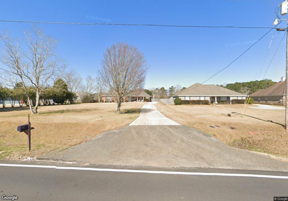
10572 Johnson Rd S Mobile, AL 36695
Westlake NeighborhoodEstimated Value: $411,635 - $451,000
4
Beds
5
Baths
3,208
Sq Ft
$134/Sq Ft
Est. Value
About This Home
This home is located at 10572 Johnson Rd S, Mobile, AL 36695 and is currently estimated at $428,409, approximately $133 per square foot. 10572 Johnson Rd S is a home located in Mobile County with nearby schools including Hutchens Elementary School, Dawes Intermediate School, and Bernice J Causey Middle School.
Ownership History
Date
Name
Owned For
Owner Type
Purchase Details
Closed on
Feb 16, 2010
Sold by
Federal Home Loan Mortgage Corporation
Bought by
Chambless Richard G and Chambless Yvonne
Current Estimated Value
Home Financials for this Owner
Home Financials are based on the most recent Mortgage that was taken out on this home.
Original Mortgage
$230,252
Outstanding Balance
$151,930
Interest Rate
4.97%
Mortgage Type
FHA
Estimated Equity
$276,479
Purchase Details
Closed on
Nov 2, 2009
Sold by
Mokbel Mohammed and Mokbel Romona
Bought by
Federal Home Loan Mortgage Corp
Purchase Details
Closed on
May 7, 2004
Sold by
Frederick Michael T and Frederick Lynn T
Bought by
Mokbel Mohammad and Mokbel Romona
Create a Home Valuation Report for This Property
The Home Valuation Report is an in-depth analysis detailing your home's value as well as a comparison with similar homes in the area
Home Values in the Area
Average Home Value in this Area
Purchase History
| Date | Buyer | Sale Price | Title Company |
|---|---|---|---|
| Chambless Richard G | $234,500 | Servicelink Hopewell Campus | |
| Federal Home Loan Mortgage Corp | $289,000 | None Available | |
| Mokbel Mohammad | $35,000 | -- |
Source: Public Records
Mortgage History
| Date | Status | Borrower | Loan Amount |
|---|---|---|---|
| Open | Chambless Richard G | $230,252 |
Source: Public Records
Tax History Compared to Growth
Tax History
| Year | Tax Paid | Tax Assessment Tax Assessment Total Assessment is a certain percentage of the fair market value that is determined by local assessors to be the total taxable value of land and additions on the property. | Land | Improvement |
|---|---|---|---|---|
| 2024 | $4,094 | $41,480 | $2,780 | $38,700 |
| 2023 | $4,094 | $36,500 | $2,780 | $33,720 |
| 2022 | $3,045 | $31,390 | $2,780 | $28,610 |
| 2021 | $3,007 | $31,000 | $2,500 | $28,500 |
| 2020 | $2,793 | $28,790 | $3,500 | $25,290 |
| 2019 | $2,779 | $57,300 | $0 | $0 |
| 2018 | $2,805 | $57,840 | $0 | $0 |
| 2017 | $2,875 | $57,840 | $0 | $0 |
| 2016 | $2,811 | $57,960 | $0 | $0 |
| 2013 | $2,680 | $54,040 | $0 | $0 |
Source: Public Records
Map
Nearby Homes
- 10351 Jeff Hamilton Rd
- 3050 Jersey Dr W
- 0 Deer Crest Dr Unit 7657123
- 0 Deer Crest Dr Unit 7552478
- 10482 Ellenton W
- 10506 Ellenton W
- 10494 Ellenton W
- 10595 Lowell St W
- 10565 Lowell St W
- 10575 Lowell St W
- 10585 Lowell St W
- The Lakeside Plan at Rossfield
- The Freeport Plan at Rossfield
- The Aria Plan at Rossfield
- The Cairn Plan at Rossfield
- The Denton Plan at Rossfield
- The Booth Plan at Rossfield
- 0 Jeff Hamilton Rd Unit 7613918
- 10414 Lowell St E
- 10123 Scott Plantation Dr N
- 10558 Johnson Rd S
- 10500 Johnson Rd S
- 10544 Johnson Rd S
- 10630 Johnson Rd S
- 10670 Johnson Rd S
- 10600 Jeff Hamilton Rd
- 10561 Jeff Hamilton Rd
- 10630 Jeff Hamilton Rd
- 10650 Jeff Hamilton Rd
- 10460 Johnson Rd S
- 3067 Notsram Ct
- 10620 Jeff Hamilton Rd
- 10640 Jeff Hamilton Rd
- 10670 Jeff Hamilton Rd
- 10670 Jeff Hamilton Rd
- 10555 Jeff Hamilton Rd
- 3059 Notsram Ct
- 3051 Notsram Ct
- 3062 Notsram Ct
- 3043 Notsram Ct