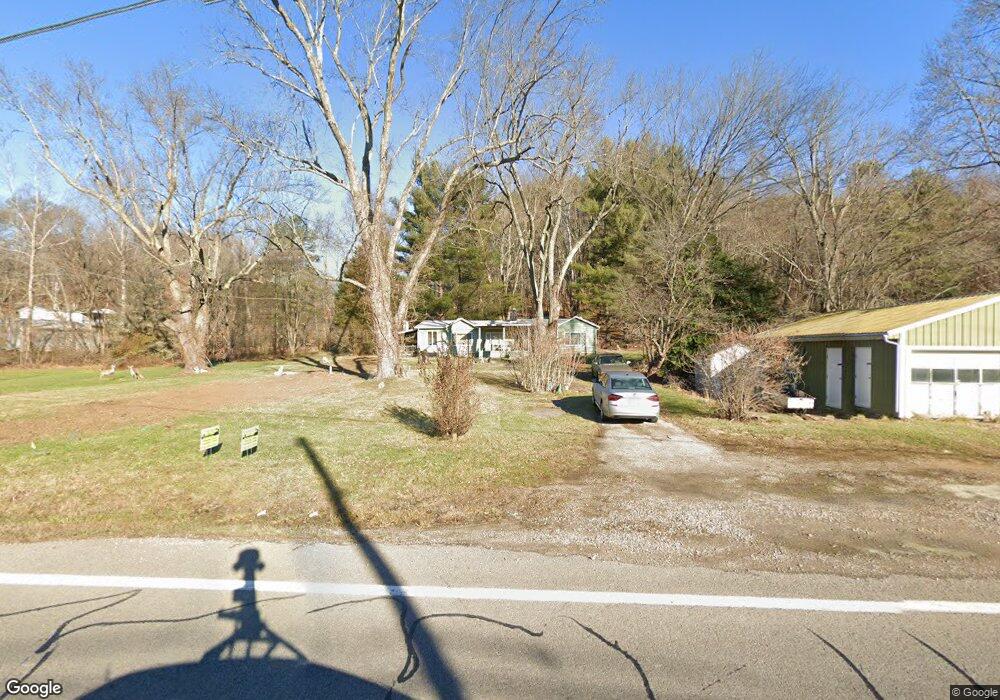
10572 State Route 37 E New Lexington, OH 43764
Estimated Value: $209,000 - $282,000
3
Beds
2
Baths
1,750
Sq Ft
$131/Sq Ft
Est. Value
About This Home
This home is located at 10572 State Route 37 E, New Lexington, OH 43764 and is currently estimated at $230,114, approximately $131 per square foot. 10572 State Route 37 E is a home located in Perry County with nearby schools including Crooksville Elementary School, Crooksville Middle School, and Crooksville High School.
Ownership History
Date
Name
Owned For
Owner Type
Purchase Details
Closed on
Sep 18, 2025
Sold by
Turner Elmer R and White Melissa D
Bought by
White Melissa D
Current Estimated Value
Purchase Details
Closed on
Mar 21, 2017
Sold by
Estate Of Vina Jane Turner
Bought by
Turner Elmer R
Create a Home Valuation Report for This Property
The Home Valuation Report is an in-depth analysis detailing your home's value as well as a comparison with similar homes in the area
Home Values in the Area
Average Home Value in this Area
Purchase History
| Date | Buyer | Sale Price | Title Company |
|---|---|---|---|
| White Melissa D | -- | None Listed On Document | |
| Turner Elmer R | -- | None Available |
Source: Public Records
Tax History Compared to Growth
Tax History
| Year | Tax Paid | Tax Assessment Tax Assessment Total Assessment is a certain percentage of the fair market value that is determined by local assessors to be the total taxable value of land and additions on the property. | Land | Improvement |
|---|---|---|---|---|
| 2024 | $1,253 | $36,420 | $8,220 | $28,200 |
| 2023 | $1,253 | $36,420 | $8,220 | $28,200 |
| 2022 | $881 | $23,630 | $6,650 | $16,980 |
| 2021 | $886 | $23,770 | $6,650 | $17,120 |
| 2020 | $886 | $23,770 | $6,650 | $17,120 |
| 2019 | $822 | $22,120 | $6,580 | $15,540 |
| 2018 | $838 | $22,120 | $6,580 | $15,540 |
| 2017 | $1,005 | $22,120 | $6,580 | $15,540 |
| 2016 | $1,005 | $26,230 | $7,460 | $18,770 |
| 2015 | $671 | $26,230 | $7,460 | $18,770 |
| 2014 | $943 | $26,230 | $7,460 | $18,770 |
| 2013 | $317 | $26,230 | $7,460 | $18,770 |
| 2012 | -- | $26,230 | $7,460 | $18,770 |
Source: Public Records
Map
Nearby Homes
- 0 Unit 5164970
- 0 Township Road 312 SE Unit 225039052
- 1325 Ohio 93
- 1341 State Route 13
- 1341 Ohio 13
- 1341 Ohio 13 Unit (Serenity Cabin at S
- Tract 3 Township Road 312
- Tract 2 Township Road 312
- Tract 1 Township Road 312
- 3055 Township Road 312
- 1420 Tatmans Rd NE
- 0 County Road 12
- 0 Township Road 324 Unit 225028032
- 1893 Lovers Ln
- 604 Orchard Ave
- 500 Eastern Ave
- 8610 Garfield St
- 263 S Maple Heights
- 13981 Ohio 669
- 105 S Maple Heights
- 10592 State Route 37 E
- 1248 Township Road 195 SE
- 10609 State Route 37 E
- 10512 State Route 37 E
- 10607 State Route 37 E
- 1235 Township Road 195 SE
- 10417 State Route 37 E
- 10474 State Route 37 E
- 10597 State Rt 37
- 1350 Township Road 195 SE
- 10864 State Route 37 E
- 10375 Ohio 37
- 10120 State Route 37 E
- 10714 State Route 37 E
- 1561 Township Road 195 NE
- 1454 Township Road 195 NE
- 10110 Ohio 37
- 10104 State Route 37 E
- 10109 State Route 37 E
- 10108 State Route 37 E