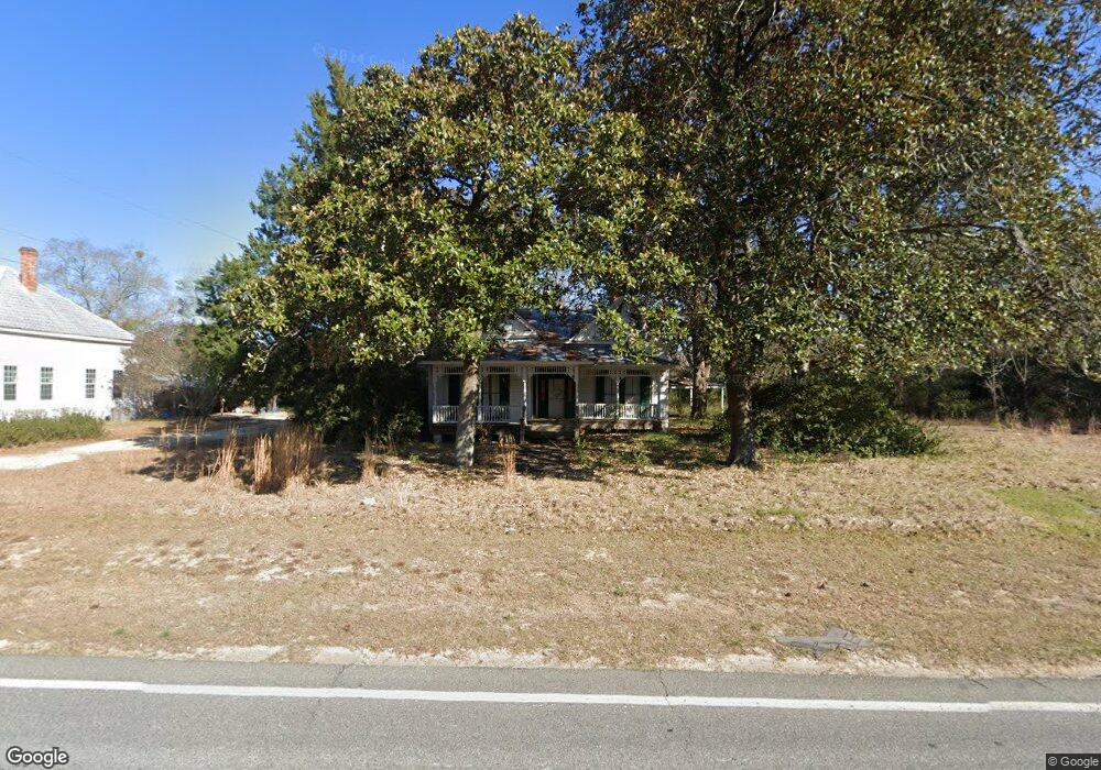
10575 Ga Highway 292 Collins, GA 30421
Estimated Value: $117,261 - $236,000
--
Bed
2
Baths
1,929
Sq Ft
$93/Sq Ft
Est. Value
About This Home
This home is located at 10575 Ga Highway 292, Collins, GA 30421 and is currently estimated at $180,315, approximately $93 per square foot. 10575 Ga Highway 292 is a home located in Tattnall County with nearby schools including Tattnall County High School and Pinewood Christian Academy.
Ownership History
Date
Name
Owned For
Owner Type
Purchase Details
Closed on
Oct 31, 2002
Sold by
Hickerson Karen
Bought by
Hickerson John D
Current Estimated Value
Purchase Details
Closed on
Feb 29, 1996
Sold by
Wallace Wallace W and Wallace Wanda
Bought by
Hickerson John D and Hickerson K
Purchase Details
Closed on
Jul 19, 1994
Bought by
Wallace Wallace W and Wallace Wanda
Purchase Details
Closed on
Jan 15, 1993
Bought by
Wallace Wallace W and Wallace Wanda
Create a Home Valuation Report for This Property
The Home Valuation Report is an in-depth analysis detailing your home's value as well as a comparison with similar homes in the area
Home Values in the Area
Average Home Value in this Area
Purchase History
| Date | Buyer | Sale Price | Title Company |
|---|---|---|---|
| Hickerson John D | -- | -- | |
| Hickerson John D | $53,900 | -- | |
| Wallace Wallace W | -- | -- | |
| Wallace Wallace W | $15,000 | -- |
Source: Public Records
Tax History Compared to Growth
Tax History
| Year | Tax Paid | Tax Assessment Tax Assessment Total Assessment is a certain percentage of the fair market value that is determined by local assessors to be the total taxable value of land and additions on the property. | Land | Improvement |
|---|---|---|---|---|
| 2025 | $1,455 | $47,800 | $1,680 | $46,120 |
| 2024 | $1,048 | $34,320 | $1,680 | $32,640 |
| 2023 | $961 | $34,320 | $1,680 | $32,640 |
| 2022 | $797 | $28,480 | $1,680 | $26,800 |
| 2021 | $742 | $27,320 | $1,680 | $25,640 |
| 2020 | $906 | $27,320 | $1,680 | $25,640 |
| 2019 | $866 | $25,320 | $1,680 | $23,640 |
| 2018 | $878 | $25,320 | $1,680 | $23,640 |
| 2017 | $866 | $25,320 | $1,680 | $23,640 |
| 2016 | $874 | $25,040 | $1,680 | $23,360 |
| 2015 | -- | $25,200 | $1,680 | $23,520 |
| 2014 | -- | $25,200 | $1,680 | $23,520 |
| 2013 | -- | $25,200 | $1,680 | $23,520 |
Source: Public Records
Map
Nearby Homes
- 92 Graham Ln
- 47 Manassas Station Rd
- 62 Manassas Station Rd
- 319 A Rupert Wood Ln
- 179 Creek Ridge Rd
- 147 Creek Ridge Rd
- 1302 Jim Sapp Rd
- LOT 7 Tupelo Dr
- 15683 Ga Highway 129 N
- 352 Riverside Dr
- 1200 Riverside Dr
- 611 NE Pearl St
- 628 Riverside Dr
- 19 Collins St
- 101 Ridge Dr
- 29 Grove Ln
- 0 Turnpike Rd Unit SA339603
- 4909 Perry Rd
- 27746 Ga Highway 23
- 6893 Hilton Hall Rd
- 89 Gov Seay Rd
- 10555 Georgia 292
- 10555 Ga Highway 292
- LOT 6 Church & W Main St
- 74 Church St
- 163 Railroad St
- 85 Church St
- 106 Church St
- 10663 Ga Highway 292
- 83 Gov Seay Rd
- 69 Gov Seay Rd
- 89 Gov Seay Rd
- 10683 Ga Highway 292
- 136 Rogers Ln
- 57 SE Railroad St
- 35 Railroad St
- 17 SE Railroad St
- 51 Queen St
- 107 Queen St
- 10757 Ga Highway 292