10576 Sperry Rd Maysville, AR 72747
Estimated Value: $258,014 - $470,000
--
Bed
1
Bath
1,128
Sq Ft
$341/Sq Ft
Est. Value
About This Home
This home is located at 10576 Sperry Rd, Maysville, AR 72747 and is currently estimated at $384,338, approximately $340 per square foot. 10576 Sperry Rd is a home located in Benton County with nearby schools including Glenn Duffy Elementary School, Gravette Upper Elementary School, and Gravette Middle School.
Ownership History
Date
Name
Owned For
Owner Type
Purchase Details
Closed on
Oct 18, 1993
Bought by
Sperry
Current Estimated Value
Purchase Details
Closed on
Jun 29, 1989
Bought by
Raines Trst
Purchase Details
Closed on
Oct 24, 1986
Bought by
Raines
Purchase Details
Closed on
Sep 25, 1980
Bought by
Raines
Purchase Details
Closed on
Sep 28, 1976
Bought by
Raines
Create a Home Valuation Report for This Property
The Home Valuation Report is an in-depth analysis detailing your home's value as well as a comparison with similar homes in the area
Home Values in the Area
Average Home Value in this Area
Purchase History
| Date | Buyer | Sale Price | Title Company |
|---|---|---|---|
| Sperry | -- | -- | |
| Sperry | $25,000 | -- | |
| Raines Trst | -- | -- | |
| Raines | -- | -- | |
| Raines | -- | -- | |
| Raines | $25,000 | -- |
Source: Public Records
Tax History Compared to Growth
Tax History
| Year | Tax Paid | Tax Assessment Tax Assessment Total Assessment is a certain percentage of the fair market value that is determined by local assessors to be the total taxable value of land and additions on the property. | Land | Improvement |
|---|---|---|---|---|
| 2025 | $620 | $20,614 | $6,575 | $14,039 |
| 2024 | $552 | $20,614 | $6,575 | $14,039 |
| 2023 | $502 | $12,930 | $2,330 | $10,600 |
| 2022 | $489 | $12,930 | $2,330 | $10,600 |
| 2021 | $447 | $12,930 | $2,330 | $10,600 |
| 2020 | $408 | $8,720 | $1,730 | $6,990 |
| 2019 | $408 | $8,720 | $1,730 | $6,990 |
| 2018 | $408 | $8,720 | $1,730 | $6,990 |
| 2017 | $386 | $8,720 | $1,730 | $6,990 |
| 2016 | $386 | $8,720 | $1,730 | $6,990 |
| 2015 | $386 | $8,720 | $1,310 | $7,410 |
| 2014 | $387 | $8,720 | $1,310 | $7,410 |
Source: Public Records
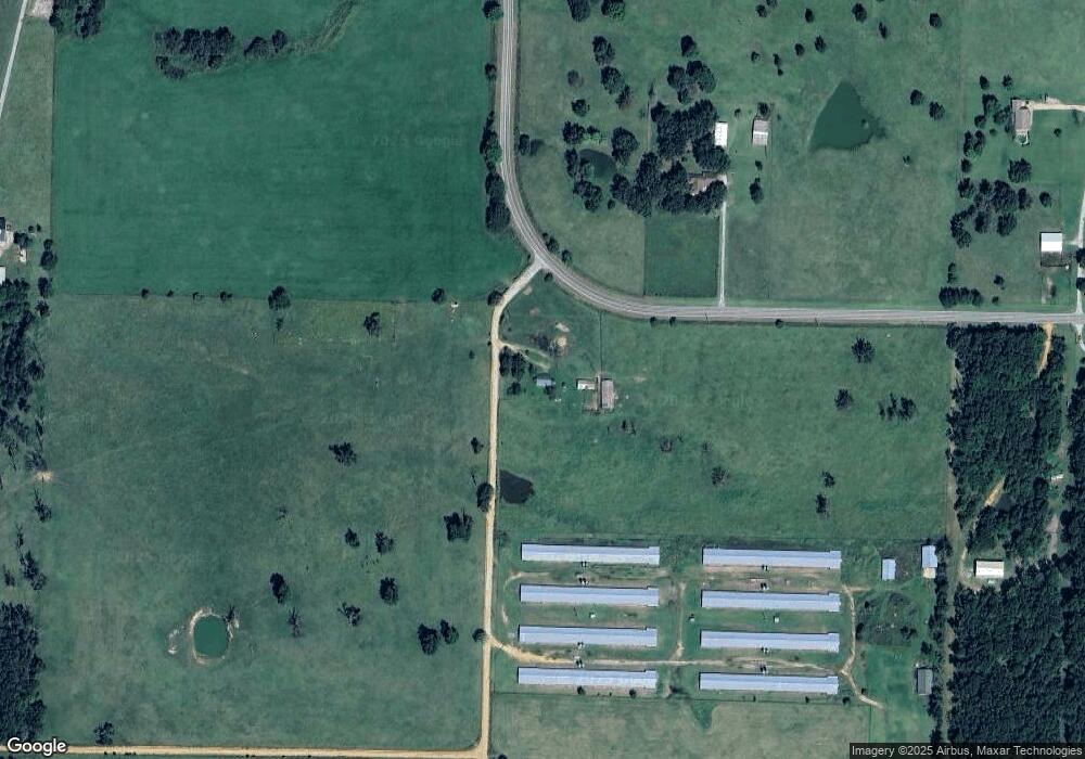
Map
Nearby Homes
- 10918 Blue Bird Rd
- 10604 Arkansas 43
- 0 Tucker Rd
- 40ac Tucker Rd
- . Tucker Rd
- 11228 Benson Rd
- TBD Georgia Flat Rd
- 22083 W Mountain Rd
- 0 Arkansas 43
- 0 W Mountain Rd Unit 1318276
- 0 Arkansas 43
- 11138 Georgia Flat Rd
- . Arkansas 43
- 0 Carlton Dr Unit 1312560
- 12087 Georgia Flat Rd
- 22842 Carlton Dr
- 24530 Coon's Hollow Rd
- 23775 Carlton Dr
- Tract A School House Rd
- 0 E Hwy 102 Hwy Unit 363634
- 0 E Hwy 102 Hwy Unit 1258877
- 0 E Hwy 102 Hwy Unit 647991
- 0 E Hwy 102 Hwy Unit 686370
- 24100 W Highway 102
- 10480 Sperry Rd
- 23938 W Highway 102
- 23938 W Highway 102
- 23934 W Highway 102
- Hy 102 Wes 123880 Weast Hyway 102 Maysville Ar Hwy
- 0 Hwy 102 Hwy Unit 656365
- 24356 W Highway 102
- 24374 Arkansas 102
- 24374 Arkansas 102
- 24471 Janes Ln
- 10904 Jaybird Rd
- 10916 and 10918 Jaybird Rd
- 23905 W Highway 102
- 23939 W Highway 102
- 10908 Blue Bird Rd