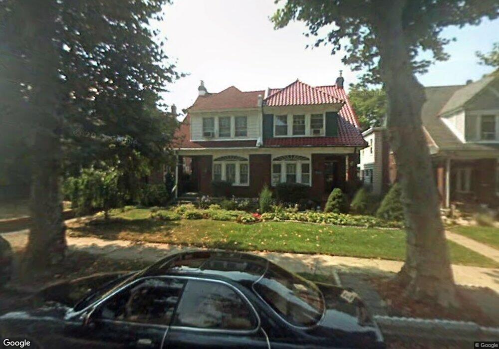
1058 Allengrove St Philadelphia, PA 19124
Frankford NeighborhoodEstimated Value: $286,000 - $292,000
4
Beds
1
Bath
1,876
Sq Ft
$154/Sq Ft
Est. Value
About This Home
This home is located at 1058 Allengrove St, Philadelphia, PA 19124 and is currently estimated at $288,642, approximately $153 per square foot. 1058 Allengrove St is a home with nearby schools including Frankford High School, The Philadelphia Charter School for the Arts & Sciences, and Northwood Academy Charter School.
Ownership History
Date
Name
Owned For
Owner Type
Purchase Details
Closed on
Jan 25, 2002
Sold by
Miller Elizabeth H
Bought by
Hawkins Gary and Jones Hawkins Cynthia K
Current Estimated Value
Home Financials for this Owner
Home Financials are based on the most recent Mortgage that was taken out on this home.
Original Mortgage
$78,800
Outstanding Balance
$32,069
Interest Rate
7.13%
Estimated Equity
$256,573
Create a Home Valuation Report for This Property
The Home Valuation Report is an in-depth analysis detailing your home's value as well as a comparison with similar homes in the area
Home Values in the Area
Average Home Value in this Area
Purchase History
| Date | Buyer | Sale Price | Title Company |
|---|---|---|---|
| Hawkins Gary | $98,500 | Lawyers Title Insurance Corp |
Source: Public Records
Mortgage History
| Date | Status | Borrower | Loan Amount |
|---|---|---|---|
| Open | Hawkins Gary | $78,800 | |
| Closed | Hawkins Gary | $14,770 |
Source: Public Records
Tax History Compared to Growth
Tax History
| Year | Tax Paid | Tax Assessment Tax Assessment Total Assessment is a certain percentage of the fair market value that is determined by local assessors to be the total taxable value of land and additions on the property. | Land | Improvement |
|---|---|---|---|---|
| 2026 | $3,467 | $275,100 | $55,020 | $220,080 |
| 2025 | $3,467 | $275,100 | $55,020 | $220,080 |
| 2024 | $3,467 | $275,100 | $55,020 | $220,080 |
| 2023 | $3,467 | $247,700 | $49,540 | $198,160 |
| 2022 | $1,900 | $202,700 | $49,540 | $153,160 |
| 2021 | $2,529 | $0 | $0 | $0 |
| 2020 | $2,529 | $0 | $0 | $0 |
| 2019 | $2,427 | $0 | $0 | $0 |
| 2018 | $2,331 | $0 | $0 | $0 |
| 2017 | $2,331 | $0 | $0 | $0 |
| 2016 | $1,911 | $0 | $0 | $0 |
| 2015 | $1,829 | $0 | $0 | $0 |
| 2014 | -- | $166,500 | $39,335 | $127,165 |
| 2012 | -- | $22,624 | $2,429 | $20,195 |
Source: Public Records
Map
Nearby Homes
- 1052 Allengrove St
- 1859 Harrison St
- 4717 Northwood St
- 1001-3 Arrott St
- 926 Foulkrod St
- 1208 Haworth St
- 1214 Haworth St
- 1300 Harrison St
- 4046 E Roosevelt Blvd
- 1204 Pratt St
- 5118 Oakland St
- 1335 Fillmore St
- 1218 Pratt St
- 1220 Pratt St
- 5033 Akron St
- 1048 Bridge St
- 5505 Loretto Ave
- 4632 Oakland St
- 1137 Bridge St
- 1359 Dyre St
- 1060 Allengrove St
- 1056 Allengrove St
- 1062 Allengrove St
- 1054 Allengrove St
- 1064 Allengrove St
- 1009 Harrison St
- 1011 Harrison St
- 1050 Allengrove St
- 1007 Harrison St
- 1013 Harrison St
- 1005 Harrison St
- 1015 Harrison St
- 1017 Harrison St
- 1072 Allengrove St
- 1001 Harrison St Unit 3
- 1019 Harrison St
- 1059 Allengrove St
- 1057 Allengrove St
- 1063 Allengrove St
- 1021 Harrison St