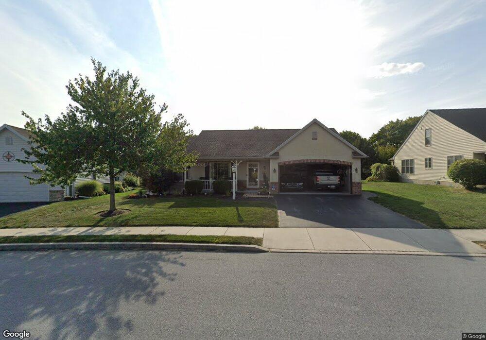
1058 Cambridge Dr Unit 59 Manheim, PA 17545
Estimated Value: $306,069 - $329,000
3
Beds
2
Baths
1,428
Sq Ft
$223/Sq Ft
Est. Value
About This Home
This home is located at 1058 Cambridge Dr Unit 59, Manheim, PA 17545 and is currently estimated at $319,017, approximately $223 per square foot. 1058 Cambridge Dr Unit 59 is a home located in Lancaster County with nearby schools including Manheim Central Senior High School, Manheim Christian Day School, and Sporting Hill Christian School.
Ownership History
Date
Name
Owned For
Owner Type
Purchase Details
Closed on
Apr 4, 2018
Sold by
Porter Robert D and Porter Joann M
Bought by
Gregg George G and Gregg Susan A
Current Estimated Value
Home Financials for this Owner
Home Financials are based on the most recent Mortgage that was taken out on this home.
Original Mortgage
$152,000
Outstanding Balance
$130,778
Interest Rate
4.46%
Mortgage Type
New Conventional
Estimated Equity
$188,239
Purchase Details
Closed on
May 6, 2013
Sold by
Gantz Jerry K and Keenan Jane R
Bought by
Porter Robert D and Porter Joann M
Purchase Details
Closed on
Nov 22, 2006
Sold by
Brookshire Properties Llp
Bought by
Gantz Clarence L and Gantz Joanne F
Create a Home Valuation Report for This Property
The Home Valuation Report is an in-depth analysis detailing your home's value as well as a comparison with similar homes in the area
Home Values in the Area
Average Home Value in this Area
Purchase History
| Date | Buyer | Sale Price | Title Company |
|---|---|---|---|
| Gregg George G | $190,000 | None Available | |
| Porter Robert D | $170,000 | None Available | |
| Gantz Clarence L | $161,779 | First American Title Ins Co |
Source: Public Records
Mortgage History
| Date | Status | Borrower | Loan Amount |
|---|---|---|---|
| Open | Gregg George G | $152,000 |
Source: Public Records
Tax History Compared to Growth
Tax History
| Year | Tax Paid | Tax Assessment Tax Assessment Total Assessment is a certain percentage of the fair market value that is determined by local assessors to be the total taxable value of land and additions on the property. | Land | Improvement |
|---|---|---|---|---|
| 2025 | $3,187 | $156,300 | -- | $156,300 |
| 2024 | $3,187 | $156,300 | -- | $156,300 |
| 2023 | $3,119 | $156,300 | $0 | $156,300 |
| 2022 | $3,039 | $156,300 | $0 | $156,300 |
| 2021 | $2,970 | $156,300 | $0 | $156,300 |
| 2020 | $2,970 | $156,300 | $0 | $156,300 |
| 2019 | $2,919 | $156,300 | $0 | $156,300 |
| 2017 | $2,990 | $128,300 | $0 | $128,300 |
| 2016 | $2,990 | $128,300 | $0 | $128,300 |
| 2015 | $710 | $128,300 | $0 | $128,300 |
| 2014 | $2,205 | $128,300 | $0 | $128,300 |
Source: Public Records
Map
Nearby Homes
- 421 Rosewood Dr
- 538 Brookshire Ave
- 981 Cambridge Dr
- 732 Heather Ridge Unit 147
- 554 Mallard Dr
- 461 Thrush Dr
- 609 Hamaker Rd
- 655 White Oak Rd
- 239 E High St
- 121 Mill St
- 123 S Main St
- 125 S Main St
- 188 N Main St
- 108 110 S Main St
- 27 W Ferdinand St
- 33 W Ferdinand St
- 90 Penn Valley Village
- 37 W Ferdinand St
- 8 Penn Valley Village
- 43 W Ferdinand St
- 1058 Cambridge Dr
- 1054 Cambridge Dr Unit 58
- 1066 Cambridge Dr
- 1066 Cambridge Dr Unit 61
- 1050 Cambridge Dr
- 1050 Cambridge Dr Unit 57
- 1057 Cambridge Dr Unit 123
- 1061 Cambridge Dr
- 1061 Cambridge Dr Unit 124
- 1045 Cambridge Dr Unit 122
- 1046 Cambridge Dr Unit 56
- 1072 Cambridge Dr
- 1072 Cambridge Dr Unit 63
- 107 N Penryn Rd
- 1071 Cambridge Dr Unit 126
- 1041 Cambridge Dr
- 1041 Cambridge Dr Unit 121
- 1042 Cambridge Dr Unit 55
- 1037 Cambridge Dr
- 1073 Cambridge Dr Unit 127