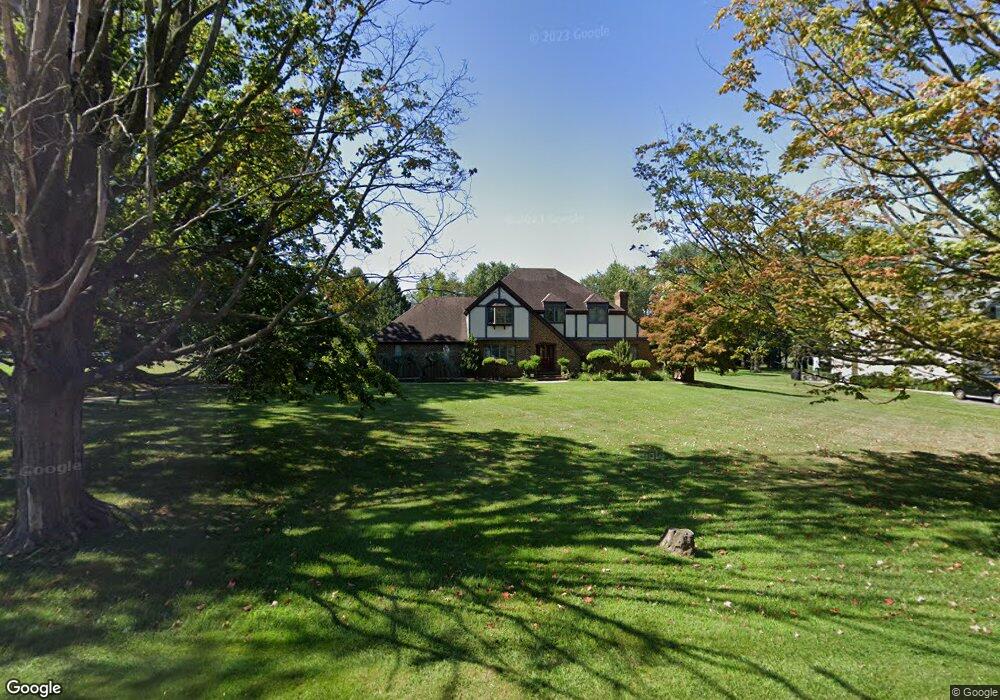
1058 Potts Mill Rd Bordentown, NJ 08505
Estimated Value: $569,924 - $707,000
--
Bed
--
Bath
2,624
Sq Ft
$244/Sq Ft
Est. Value
About This Home
This home is located at 1058 Potts Mill Rd, Bordentown, NJ 08505 and is currently estimated at $641,481, approximately $244 per square foot. 1058 Potts Mill Rd is a home located in Burlington County with nearby schools including Riverfront Middle School, Number 5, Roebling Elementary School, and Florence Twp Mem High School.
Ownership History
Date
Name
Owned For
Owner Type
Purchase Details
Closed on
Aug 31, 1999
Sold by
Burg Martin W
Bought by
Kim Tai Son and Kim Kyung L
Current Estimated Value
Home Financials for this Owner
Home Financials are based on the most recent Mortgage that was taken out on this home.
Original Mortgage
$175,000
Outstanding Balance
$51,204
Interest Rate
7.65%
Estimated Equity
$590,277
Create a Home Valuation Report for This Property
The Home Valuation Report is an in-depth analysis detailing your home's value as well as a comparison with similar homes in the area
Home Values in the Area
Average Home Value in this Area
Purchase History
| Date | Buyer | Sale Price | Title Company |
|---|---|---|---|
| Kim Tai Son | $225,000 | -- |
Source: Public Records
Mortgage History
| Date | Status | Borrower | Loan Amount |
|---|---|---|---|
| Open | Kim Tai Son | $175,000 |
Source: Public Records
Tax History Compared to Growth
Tax History
| Year | Tax Paid | Tax Assessment Tax Assessment Total Assessment is a certain percentage of the fair market value that is determined by local assessors to be the total taxable value of land and additions on the property. | Land | Improvement |
|---|---|---|---|---|
| 2025 | $11,586 | $415,700 | $102,500 | $313,200 |
| 2024 | $11,091 | $415,700 | $102,500 | $313,200 |
| 2023 | $11,091 | $415,700 | $102,500 | $313,200 |
| 2022 | $10,854 | $415,700 | $102,500 | $313,200 |
| 2021 | $10,758 | $415,700 | $102,500 | $313,200 |
| 2020 | $10,717 | $415,700 | $102,500 | $313,200 |
| 2019 | $10,621 | $415,700 | $102,500 | $313,200 |
| 2018 | $10,530 | $415,700 | $102,500 | $313,200 |
| 2017 | $10,401 | $415,700 | $102,500 | $313,200 |
| 2016 | $10,201 | $415,700 | $102,500 | $313,200 |
| 2015 | $9,993 | $415,700 | $102,500 | $313,200 |
| 2014 | $9,715 | $415,700 | $102,500 | $313,200 |
Source: Public Records
Map
Nearby Homes
- 67 Ridgway Dr
- 12 Ridgway Dr
- 12 Brookside Dr
- 124 Ridgway Dr
- 1036 Potts Mill Rd
- 74 Creekwood Dr
- 85 Creekwood Dr
- 1031 Potts Mill Rd
- 406 Arnold Dr
- 606 Archibald Ln
- 26 Creekwood Dr
- 19 Magnolia Ct
- 1007 Potts Mill Rd
- 2000 Cedar Lane Extension
- 2100 Old York Rd
- 234 Birch Hollow Dr
- 71 Amboy Ave
- 0 Monika Way Unit NJBL2096290
- 0 Monika Way Unit NJBL2071070
- 15 Railroad Ave
- 1060 Potts Mill Rd
- 2171 Old York Rd
- 2163 Old York Rd
- 1067 Potts Mill Rd
- 1065 Potts Mill Rd
- 1063 Potts Mill Rd
- 100 Andrews Dr
- 1 Carty Dr
- 102 Andrews Dr
- 2 Carty Dr
- 1061 Potts Mill Rd
- 63 Ridgway Dr
- 104 Andrews Dr
- 61 Ridgway Dr
- 65 Ridgway Dr
- 59 Ridgway Dr
- 3 Carty Dr
- 57 Ridgway Dr
- 55 Ridgway Dr
- 106 Andrews Dr