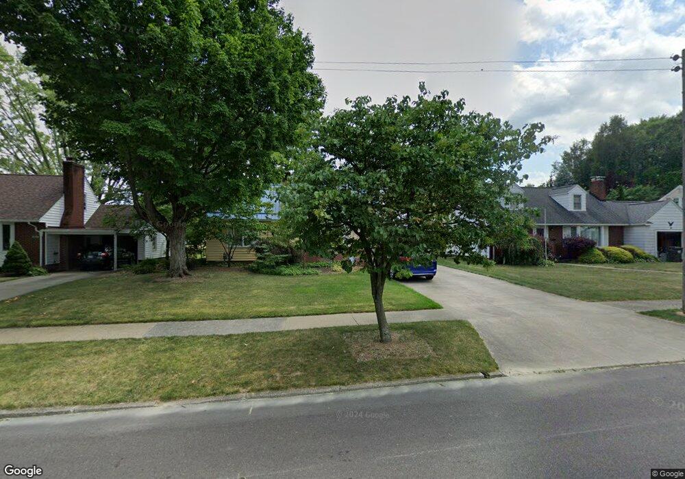
1058 Vincent Blvd Alliance, OH 44601
Estimated Value: $175,474 - $226,000
3
Beds
3
Baths
1,794
Sq Ft
$108/Sq Ft
Est. Value
About This Home
This home is located at 1058 Vincent Blvd, Alliance, OH 44601 and is currently estimated at $193,619, approximately $107 per square foot. 1058 Vincent Blvd is a home located in Stark County with nearby schools including Alliance Early Learning School, Alliance Intermediate School at Northside, and Alliance Middle School.
Ownership History
Date
Name
Owned For
Owner Type
Purchase Details
Closed on
Sep 16, 2010
Sold by
Mason Robert E and Mason Shirley J
Bought by
Thibaugh Tonji and Stevens Tamara
Current Estimated Value
Purchase Details
Closed on
Jul 2, 2002
Sold by
Mason Robert and Mason Shirley
Bought by
Mason Shirley J and Robert E Mason Family Trust
Create a Home Valuation Report for This Property
The Home Valuation Report is an in-depth analysis detailing your home's value as well as a comparison with similar homes in the area
Home Values in the Area
Average Home Value in this Area
Purchase History
| Date | Buyer | Sale Price | Title Company |
|---|---|---|---|
| Thibaugh Tonji | -- | None Available | |
| Mason Robert E | -- | None Available | |
| Mason Shirley J | -- | -- |
Source: Public Records
Tax History
| Year | Tax Paid | Tax Assessment Tax Assessment Total Assessment is a certain percentage of the fair market value that is determined by local assessors to be the total taxable value of land and additions on the property. | Land | Improvement |
|---|---|---|---|---|
| 2025 | -- | $49,390 | $11,940 | $37,450 |
| 2024 | -- | $49,390 | $11,940 | $37,450 |
| 2023 | $1,293 | $41,340 | $9,450 | $31,890 |
| 2022 | $1,319 | $41,340 | $9,450 | $31,890 |
| 2021 | $1,321 | $41,370 | $9,450 | $31,920 |
| 2020 | $1,213 | $36,720 | $8,230 | $28,490 |
| 2019 | $1,195 | $36,730 | $8,230 | $28,500 |
Source: Public Records
Map
Nearby Homes
- 1534 Fernwood Blvd
- 1539 Parkway Blvd
- 1156 Parkside Dr
- 1016 Roseland Rd
- 1718 Fernwood Blvd
- 864 W College Rd
- 1310 Overlook Dr
- 720 Vincent Blvd
- 1114 Briarcliff Ave
- 1044 Glamorgan St
- 1601 Raywood Rd
- 0 Federal Ave
- 2120 Blenheim Ave
- 1235 Spring Ridge Cir Unit 17A
- 664 Fairview Place
- 2580 Edgewood Ave
- 203 Glamorgan St
- 2630 Blenheim Ave
- 535 S Mckinley Ave
- 2635 Blenheim Ave
- 1048 Vincent Blvd
- 1068 Vincent Blvd
- 1061 Lilly Rd
- 1061 Lilly Rd
- 1038 Vincent Blvd
- 1078 Vincent Blvd
- 1069 Lilly Rd
- 1045 Lilly Rd
- 1077 Lilly Rd
- 1028 Vincent Blvd
- 1088 Vincent Blvd
- 1059 Vincent Blvd
- 1085 Lilly Rd
- 1069 Vincent Blvd
- 1049 Vincent Blvd
- 1029 Lilly Rd
- 1083 Vincent Blvd
- 1093 Lilly Rd
- 1039 Vincent Blvd
- 1018 Vincent Blvd
Your Personal Tour Guide
Ask me questions while you tour the home.