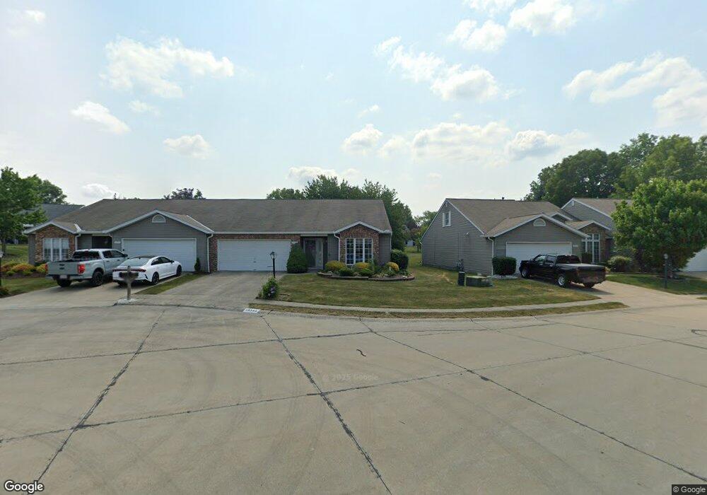
10583 Royal Oak Dr Strongsville, OH 44136
Estimated Value: $265,988 - $277,000
2
Beds
2
Baths
1,592
Sq Ft
$170/Sq Ft
Est. Value
About This Home
This home is located at 10583 Royal Oak Dr, Strongsville, OH 44136 and is currently estimated at $270,497, approximately $169 per square foot. 10583 Royal Oak Dr is a home located in Cuyahoga County with nearby schools including Strongsville High School, Sts Joseph & John Interparochial School, and Royal Redeemer Lutheran School.
Ownership History
Date
Name
Owned For
Owner Type
Purchase Details
Closed on
Jun 22, 2023
Sold by
Fedor Elaine J
Bought by
Becica Allen and Becka Glenda
Current Estimated Value
Purchase Details
Closed on
Oct 28, 2015
Sold by
Smith Cynthia M and Smith Thomas H
Bought by
Fedor Elaine J
Purchase Details
Closed on
Jan 1, 1991
Bought by
Smith Thomas H and C M
Create a Home Valuation Report for This Property
The Home Valuation Report is an in-depth analysis detailing your home's value as well as a comparison with similar homes in the area
Home Values in the Area
Average Home Value in this Area
Purchase History
| Date | Buyer | Sale Price | Title Company |
|---|---|---|---|
| Becica Allen | $229,900 | American Title | |
| Fedor Elaine J | $132,999 | American Title Solution | |
| Smith Thomas H | -- | -- |
Source: Public Records
Tax History Compared to Growth
Tax History
| Year | Tax Paid | Tax Assessment Tax Assessment Total Assessment is a certain percentage of the fair market value that is determined by local assessors to be the total taxable value of land and additions on the property. | Land | Improvement |
|---|---|---|---|---|
| 2024 | $3,318 | $80,465 | $16,485 | $63,980 |
| 2023 | $3,279 | $61,530 | $15,190 | $46,340 |
| 2022 | $3,281 | $61,530 | $15,190 | $46,340 |
| 2021 | $3,255 | $61,530 | $15,190 | $46,340 |
| 2020 | $2,997 | $51,730 | $12,780 | $38,960 |
| 2019 | $2,909 | $147,800 | $36,500 | $111,300 |
| 2018 | $2,640 | $51,730 | $12,780 | $38,960 |
| 2017 | $2,385 | $44,700 | $9,700 | $35,000 |
| 2016 | $2,365 | $44,700 | $9,700 | $35,000 |
| 2015 | $2,460 | $44,700 | $9,700 | $35,000 |
| 2014 | $2,460 | $45,610 | $9,910 | $35,700 |
Source: Public Records
Map
Nearby Homes
- 10369 Council Bluff
- 9945 Twelve Oaks Cir
- 16519 Albion Rd
- 15485 Albion Rd
- 9890 Webster Rd
- 10010 Chevy Chase
- 0 Webster Rd
- 9129 Tahoe Cir
- 12101 The Bluffs
- 11650 River Moss Rd
- 14069 Basswood Cir
- 9531 Nicole Cir
- 14298 Calderdale Ln
- 14584 Baywood Ln
- 14557 Baywood Ln
- 14644 Baywood Ln
- 14236 Calderdale Ln
- 17945 Cliffside Dr
- 18433 Whitney Rd
- 18203 Broxton Dr
- 10583 Royal Oak Dr Unit 35-A
- 10611 Royal Oak Dr
- 10611 Royal Oak Dr Unit 34a
- 10555 Royal Oak Dr
- 10555 Royal Oak Dr Unit 36-A
- 10639 Royal Oak Dr
- 10499 Royal Oak Dr
- 10499 Royal Oak Dr Unit 37-A
- 10556 Scottsdale Dr
- 10504 Scottsdale Dr
- 10578 Scottsdale Dr
- 10471 Royal Oak Dr
- 10562 Royal Oak Dr
- 10620 Scottsdale Dr
- 10642 Scottsdale Dr
- 10482 Scottsdale Dr
- 10534 Royal Oak Dr
- 10534 Royal Oak Dr Unit 41-A
- 10450 Royal Oak Dr
- 10478 Royal Oak Dr