105857 S 4767 Rd Muldrow, OK 74948
Estimated Value: $98,039 - $161,000
3
Beds
1
Bath
1,248
Sq Ft
$104/Sq Ft
Est. Value
About This Home
This home is located at 105857 S 4767 Rd, Muldrow, OK 74948 and is currently estimated at $130,010, approximately $104 per square foot. 105857 S 4767 Rd is a home with nearby schools including Liberty Public School.
Ownership History
Date
Name
Owned For
Owner Type
Purchase Details
Closed on
Nov 22, 2016
Sold by
Cantrell Ryan L and Cantrell Tabetha J
Bought by
Reed James C and Reed Shanea M
Current Estimated Value
Home Financials for this Owner
Home Financials are based on the most recent Mortgage that was taken out on this home.
Original Mortgage
$53,434
Interest Rate
3.47%
Mortgage Type
Commercial
Purchase Details
Closed on
Feb 28, 2014
Sold by
Hutchins Levella and Hutchins Bob
Bought by
Cantrell Ryan and Cantrell Tabetha
Purchase Details
Closed on
Feb 26, 2014
Sold by
Canning Nadara and Canning Bob
Bought by
Cantrell Ryan and Cantrell Tabetha
Purchase Details
Closed on
Aug 6, 1991
Sold by
Willis
Bought by
Page
Create a Home Valuation Report for This Property
The Home Valuation Report is an in-depth analysis detailing your home's value as well as a comparison with similar homes in the area
Home Values in the Area
Average Home Value in this Area
Purchase History
| Date | Buyer | Sale Price | Title Company |
|---|---|---|---|
| Reed James C | $49,000 | None Available | |
| Cantrell Ryan | $41,000 | -- | |
| Cantrell Ryan | $41,000 | -- | |
| Page | $32,500 | -- |
Source: Public Records
Mortgage History
| Date | Status | Borrower | Loan Amount |
|---|---|---|---|
| Closed | Reed James C | $53,434 |
Source: Public Records
Tax History Compared to Growth
Tax History
| Year | Tax Paid | Tax Assessment Tax Assessment Total Assessment is a certain percentage of the fair market value that is determined by local assessors to be the total taxable value of land and additions on the property. | Land | Improvement |
|---|---|---|---|---|
| 2024 | $422 | $5,603 | $770 | $4,833 |
| 2023 | $402 | $5,336 | $770 | $4,566 |
| 2022 | $365 | $5,082 | $770 | $4,312 |
| 2021 | $347 | $4,840 | $770 | $4,070 |
| 2020 | $347 | $4,840 | $770 | $4,070 |
| 2019 | $355 | $4,945 | $770 | $4,175 |
| 2018 | $387 | $5,390 | $770 | $4,620 |
| 2017 | $387 | $5,390 | $770 | $4,620 |
| 2016 | $170 | $2,368 | $379 | $1,989 |
| 2015 | $162 | $2,256 | $193 | $2,063 |
| 2014 | $170 | $2,365 | $365 | $2,000 |
Source: Public Records
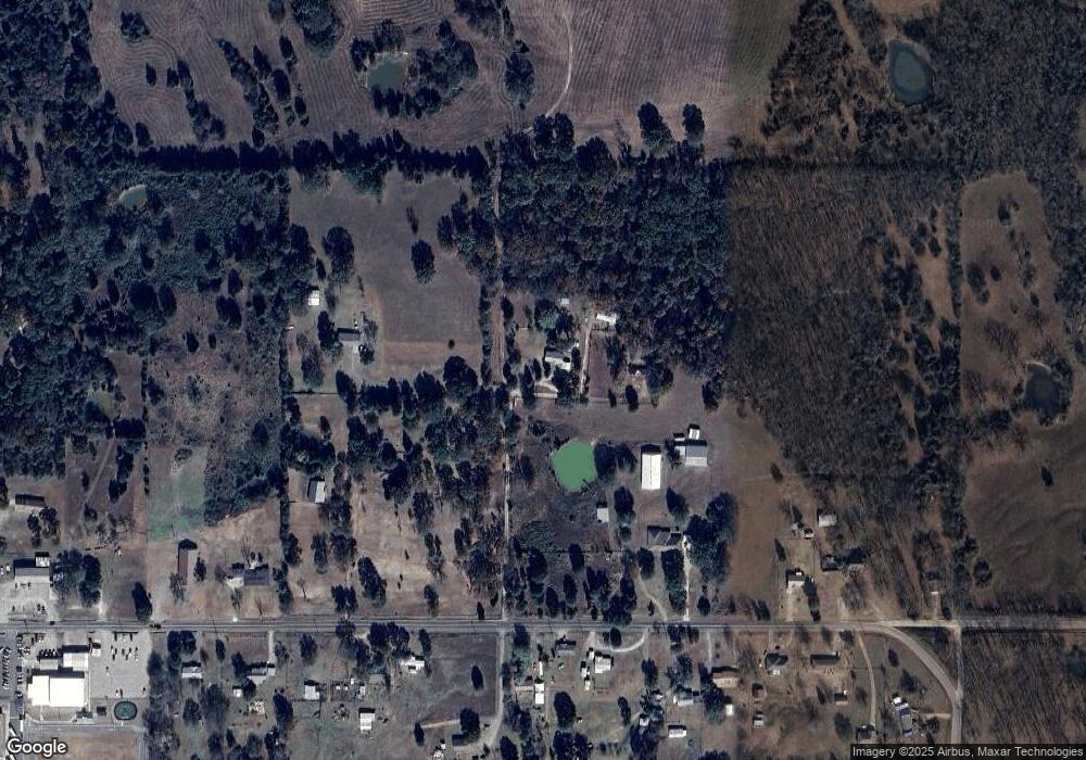
Map
Nearby Homes
- 605 S 9th St
- TBD Tbd
- 104 Free Ferry
- 106438 S 4757 Rd
- TBD E 1045 Rd
- TBD S 4769 Rd
- 104178 S 4769 Rd
- 108714 S 4767 Rd
- 108892 S 4768 Rd
- 477053 E 1085 Rd
- 476967 E 1090 Rd
- 108962 Hummingbird Ln
- 103891 Oklahoma 64b
- 476120 E 1091 Rd
- 109483 S 4770 Rd
- Lot 43 E 1028 Rd
- 479786 E 1080 Rd
- 105629 S 4730 Rd
- 479872 E 1080 Rd
- 106240 S 4806 Rd
- 106853 S 4767 Rd
- 105853 S 4767 Rd
- 105247 S 4770 Rd
- 476881 E 1060 Rd
- 106857 S 4767 Rd
- 476836 E 1060 Rd
- 476947 E 1060 Rd
- 476876 E 1060 Rd
- 476879 E 1060 Rd
- 476976 E 1060 Rd
- 476900 E 1060 Rd
- 476619 E 1060 Rd
- 476792 E 1060 Rd
- 476968 E 1060 Rd
- 476714 E 1060 Rd
- 476714 E 1060 Rd
- 476685 E 1060 Rd
- 476605 E 1060 Rd
- 477027 E 1060 Rd
- 476602 E 1060 Rd