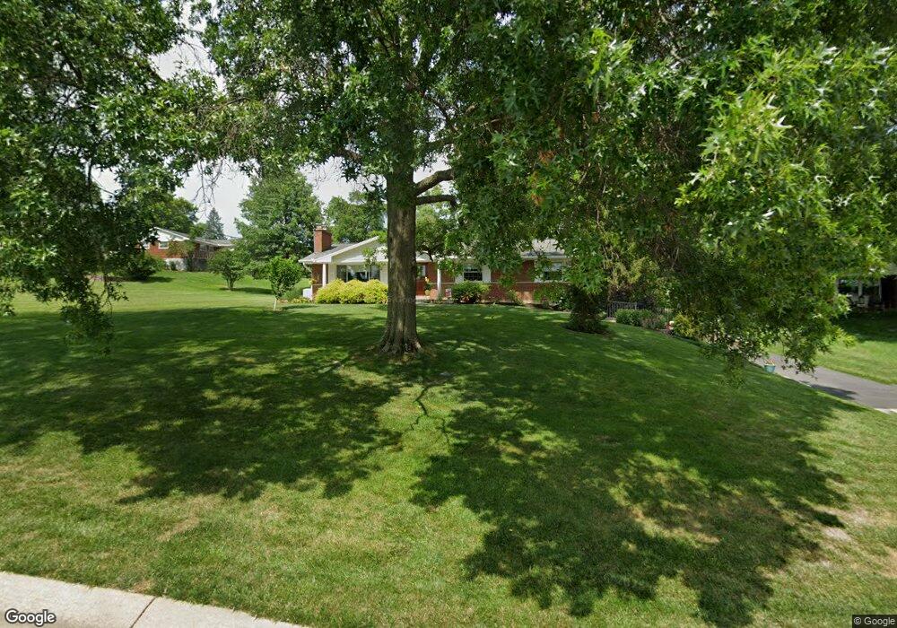
10588 Swindon Ct Cincinnati, OH 45241
Estimated Value: $370,088 - $469,000
3
Beds
3
Baths
2,123
Sq Ft
$201/Sq Ft
Est. Value
About This Home
This home is located at 10588 Swindon Ct, Cincinnati, OH 45241 and is currently estimated at $427,772, approximately $201 per square foot. 10588 Swindon Ct is a home located in Hamilton County with nearby schools including Evendale Elementary School, Glendale Elementary School, and Princeton Community Middle School.
Ownership History
Date
Name
Owned For
Owner Type
Purchase Details
Closed on
Sep 4, 1996
Sold by
Delp Fred H and Delp Emma Jean
Bought by
Earhart Mark D and Earhart Kathy J
Current Estimated Value
Home Financials for this Owner
Home Financials are based on the most recent Mortgage that was taken out on this home.
Original Mortgage
$112,000
Interest Rate
8.14%
Create a Home Valuation Report for This Property
The Home Valuation Report is an in-depth analysis detailing your home's value as well as a comparison with similar homes in the area
Home Values in the Area
Average Home Value in this Area
Purchase History
| Date | Buyer | Sale Price | Title Company |
|---|---|---|---|
| Earhart Mark D | $140,000 | -- |
Source: Public Records
Mortgage History
| Date | Status | Borrower | Loan Amount |
|---|---|---|---|
| Previous Owner | Earhart Mark D | $112,000 |
Source: Public Records
Tax History Compared to Growth
Tax History
| Year | Tax Paid | Tax Assessment Tax Assessment Total Assessment is a certain percentage of the fair market value that is determined by local assessors to be the total taxable value of land and additions on the property. | Land | Improvement |
|---|---|---|---|---|
| 2024 | $3,480 | $85,915 | $17,472 | $68,443 |
| 2023 | $3,483 | $85,915 | $17,472 | $68,443 |
| 2022 | $3,560 | $70,561 | $17,028 | $53,533 |
| 2021 | $3,461 | $70,561 | $17,028 | $53,533 |
| 2020 | $3,501 | $70,561 | $17,028 | $53,533 |
| 2019 | $3,398 | $63,000 | $15,204 | $47,796 |
| 2018 | $3,187 | $63,000 | $15,204 | $47,796 |
| 2017 | $2,984 | $63,000 | $15,204 | $47,796 |
| 2016 | $2,855 | $59,777 | $14,648 | $45,129 |
| 2015 | $2,883 | $59,777 | $14,648 | $45,129 |
| 2014 | $2,892 | $59,777 | $14,648 | $45,129 |
| 2013 | $2,853 | $60,379 | $14,795 | $45,584 |
Source: Public Records
Map
Nearby Homes
- 3592 Horncastle Dr
- 3590 Glendale Milford Rd
- 3756 Glendale Milford Rd
- 10301 Giverny Blvd
- 10788 Thornview Dr
- 3781 Creekview Dr
- 10775 Lemarie Dr
- 10509 Thornview Dr
- 3706 Verbena Dr
- 4051 Beavercreek Cir
- 10914 Lemarie Dr
- 3380 Spurrier Ln
- 3325 Mcgrew St
- 16 Carpenters Run
- 10561 Plainfield Rd
- 3585 Fawnrun Dr
- 4086 Retreat Dr
- Lexington Plan at Chimney Ridge
- Vaquero Plan at Chimney Ridge
- 103 Bentwood Ct
- 10580 Swindon Ct
- 3613 Horncastle Dr
- 3601 Horncastle Dr
- 10572 Swindon Ct
- 3621 Horncastle Dr
- 10579 Swindon Ct
- 10597 Swindon Ct
- 10549 Heathercrest Cir
- 10587 Swindon Ct
- 3631 Horncastle Dr
- 3614 Horncastle Dr
- 3604 Horncastle Dr
- 3571 Horncastle Dr
- 10541 Heathercrest Cir
- 10557 Heathercrest Cir
- 3626 Horncastle Dr
- 3639 Horncastle Dr
- 3582 Horncastle Dr
- 10546 Heathercrest Cir
- 3561 Horncastle Dr