Estimated Value: $1,524,100
2
Beds
1
Bath
6,612
Sq Ft
$231/Sq Ft
Est. Value
About This Home
This home is located at 10589 Carbon Ln NE, Salem, OR 97305 and is currently estimated at $1,524,100, approximately $230 per square foot. 10589 Carbon Ln NE is a home located in Marion County with nearby schools including Gervais Middle School, Gervais High School, and Willamette Valley Christian School.
Ownership History
Date
Name
Owned For
Owner Type
Purchase Details
Closed on
Nov 13, 2020
Sold by
Martushey Eudokia
Bought by
Tdran Feodor A and Martuskev Evdokia
Current Estimated Value
Purchase Details
Closed on
Aug 14, 2017
Sold by
Martushev Kalin
Bought by
Toran Avery and Toran Agafia
Home Financials for this Owner
Home Financials are based on the most recent Mortgage that was taken out on this home.
Original Mortgage
$195,000
Interest Rate
3.88%
Mortgage Type
Seller Take Back
Purchase Details
Closed on
Sep 7, 2016
Sold by
Martushev Kalin and Martushev Evdokia
Bought by
Martushev Kalin
Purchase Details
Closed on
Aug 6, 2013
Sold by
Sproed Robert Pete
Bought by
Martushev Kalin and Martushev Evdoka
Purchase Details
Closed on
Feb 23, 2005
Sold by
Sproed Ann
Bought by
Sproed Robert Pete and The Ann Sproed Living Trust
Create a Home Valuation Report for This Property
The Home Valuation Report is an in-depth analysis detailing your home's value as well as a comparison with similar homes in the area
Home Values in the Area
Average Home Value in this Area
Purchase History
| Date | Buyer | Sale Price | Title Company |
|---|---|---|---|
| Tdran Feodor A | -- | None Available | |
| Tdran Feodor A | -- | None Listed On Document | |
| Toran Avery | $225,000 | None Available | |
| Martushev Kalin | -- | None Available | |
| Martushev Kalin | $410,000 | Ticor Title | |
| Sproed Robert Pete | -- | -- |
Source: Public Records
Mortgage History
| Date | Status | Borrower | Loan Amount |
|---|---|---|---|
| Previous Owner | Toran Avery | $195,000 |
Source: Public Records
Tax History Compared to Growth
Tax History
| Year | Tax Paid | Tax Assessment Tax Assessment Total Assessment is a certain percentage of the fair market value that is determined by local assessors to be the total taxable value of land and additions on the property. | Land | Improvement |
|---|---|---|---|---|
| 2025 | $5,740 | $432,976 | -- | -- |
| 2024 | $5,740 | $420,488 | -- | -- |
| 2023 | $4,701 | $408,361 | $0 | $0 |
| 2022 | $4,133 | $369,553 | $0 | $0 |
| 2021 | $4,129 | $358,910 | $0 | $0 |
| 2020 | $3,920 | $348,580 | $0 | $0 |
| 2019 | $3,920 | $338,560 | $0 | $0 |
| 2018 | $1,487 | $0 | $0 | $0 |
| 2017 | $246 | $0 | $0 | $0 |
| 2016 | $239 | $0 | $0 | $0 |
| 2015 | $271 | $0 | $0 | $0 |
| 2014 | $262 | $0 | $0 | $0 |
Source: Public Records
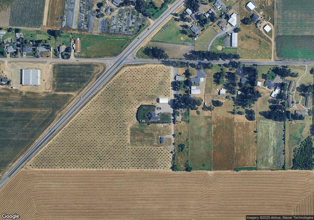
Map
Nearby Homes
- 5848 Tumbleweed Cir NE
- 5714 Tumbleweed Cir NE
- 5717 Tumbleweed Cir NE
- 5663 Tumbleweed Cir NE
- 9334 Glory Ct NE
- 9342 Hallelujah Dr NE
- 9285 Fellowship Ave NE
- 0 Checkerboard Rd NE Unit 585951546
- 5225 Ramp St NE
- 6786 Rochester St NE
- 8105 65th Ave NE
- 0 Matheny (Lot1) Rd Unit 24267162
- 0000 Huff Ave NE
- 600 4th St
- 220 222 Juniper St
- 222 Juniper Ave
- 985 5th St
- Lot 1 Matheny Rd NE
- 3C3F M8 Unit PH-333
- 3C3F M8 Unit PH-222
- 0 Carbon Unit 16423105
- 10559 Carbon Ln NE
- 10539 Carbon Ln NE
- 0 Waconda Rd NE
- 6486 Waconda Rd NE
- 6506 Waconda Rd NE
- 6068 Waconda Rd NE
- 6127 Waconda Rd NE
- 6107 Waconda Rd NE
- 6546 Waconda Rd NE
- 10730 Portland Rd NE
- 6077 Waconda Rd NE
- 10705 Portland Rd NE
- 6586 Waconda Rd NE
- 10738 Portland Rd NE
- 6057 Waconda Rd NE
- 6057 Waconda Rd NE Unit 1
- 6527 Waconda Rd NE
- 10705 Portland Rd Nepvrm
- 10740 Portland Rd NE