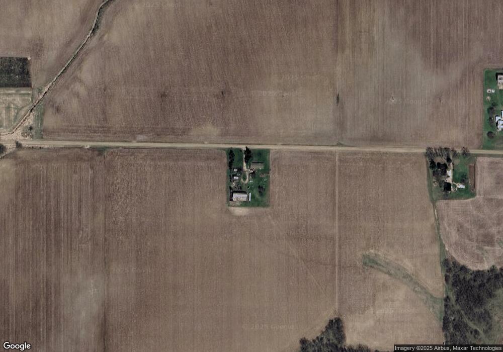
10589 W Maple Rapids Rd Fowler, MI 48835
3
Beds
2
Baths
2,026
Sq Ft
1.75
Acres
About This Home
This home is located at 10589 W Maple Rapids Rd, Fowler, MI 48835. 10589 W Maple Rapids Rd is a home located in Clinton County with nearby schools including Fulton Elementary School, Fulton Middle School, and Fulton High School.
Create a Home Valuation Report for This Property
The Home Valuation Report is an in-depth analysis detailing your home's value as well as a comparison with similar homes in the area
Home Values in the Area
Average Home Value in this Area
Tax History Compared to Growth
Map
Nearby Homes
- 209 W Adelaide St
- 220 N Maple Ave
- 129 E Main St
- 4813 Lakeside Dr
- 9515 W Moss Rd
- TBD E Main St
- 7240 Empire Rd
- 8150 Idared Rd
- 005 Skyline Dr
- 17 Skyline Dr
- 8095 Mcintosh Rd
- 0 Thornapple Unit 292765
- 7757 N Forest Hill Rd
- 10454 W Taft Rd
- 10391 Hardwood Trail
- 10245 Lakeside Dr
- 159 Hardwood Trail
- TBD Oakridge Trail Unit 273
- TBD Oakridge Trail Unit 274
- TBD Oakridge Trail
- 10389 W Maple Rapids Rd
- 10330 W Maple Rapids Rd
- 10908 W Maple Rapids Rd
- 8399 N Wright Rd
- 6184 W South Countyline Rd
- 6442 W South Countyline Rd
- 6512 W South Countyline Rd
- 8175 N Wright Rd
- 10050 S Sth
- 7288 W S Co Line
- 11108 W Maple Rapids Rd
- 11270 W Maple Rapids Rd
- 11160 W Maple Rapids Rd
- 9912 W Maple Rapids Rd
- 11025 W Maple Rapids Rd
- 11025 W Maple Rapids Rd
- 11160 W Maple
- 11105 W Maple Rapids Rd
- 11143 S Gratiot County Line Rd
- 11251 S Gratiot Co Line Rd