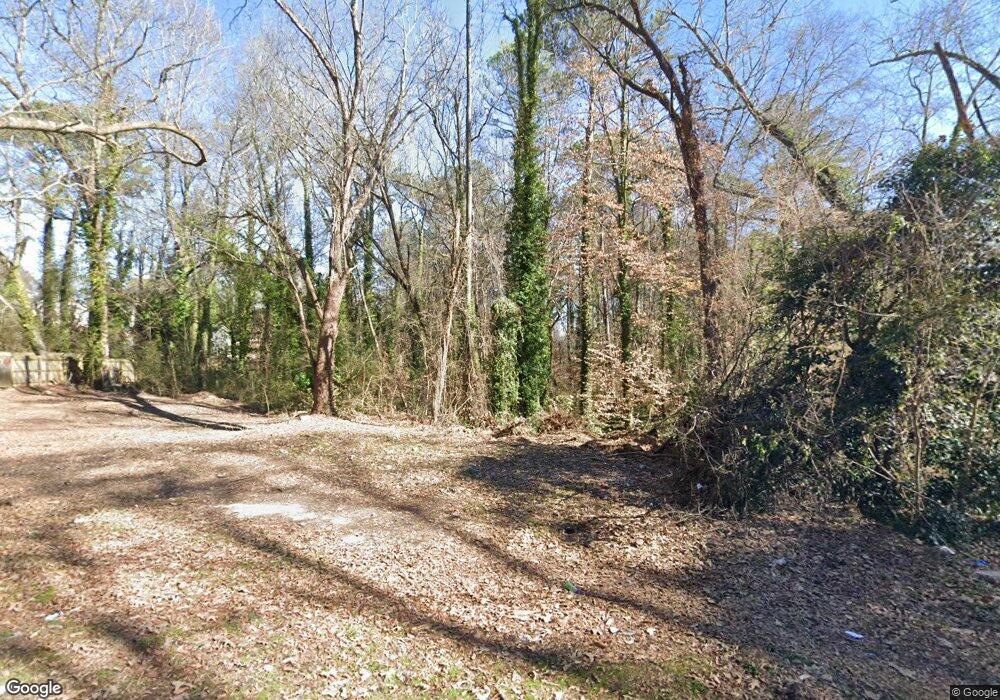
1059 Cato St NW Atlanta, GA 30318
Grove Park NeighborhoodEstimated Value: $124,000
--
Bed
1
Bath
--
Sq Ft
0.25
Acres
About This Home
This home is located at 1059 Cato St NW, Atlanta, GA 30318 and is currently estimated at $124,000. 1059 Cato St NW is a home located in Fulton County with nearby schools including Boyd Elementary School, John Lewis Invictus Academy, and Frederick Douglass High School.
Ownership History
Date
Name
Owned For
Owner Type
Purchase Details
Closed on
Sep 6, 2018
Sold by
Wmac 2013 Llc
Bought by
Alexander Margo Pamela and Alexander William J
Current Estimated Value
Purchase Details
Closed on
Aug 31, 2018
Sold by
Alexander Margo Pamela
Bought by
Habitat For Humanity In Atlanta Inc
Purchase Details
Closed on
Jul 12, 2018
Sold by
Georgia Asset Resolution Grp Llc
Bought by
Wmac 2013 Llc
Purchase Details
Closed on
Oct 6, 2009
Sold by
Alexander Margo P and Alexander William J
Bought by
Heartwood 16 Llc
Purchase Details
Closed on
Apr 5, 2002
Sold by
Swaggerty Lon
Bought by
Davis Robert C
Create a Home Valuation Report for This Property
The Home Valuation Report is an in-depth analysis detailing your home's value as well as a comparison with similar homes in the area
Home Values in the Area
Average Home Value in this Area
Purchase History
| Date | Buyer | Sale Price | Title Company |
|---|---|---|---|
| Alexander Margo Pamela | $14,518 | -- | |
| Habitat For Humanity In Atlanta Inc | $45,042 | -- | |
| Wmac 2013 Llc | $5,000 | -- | |
| Heartwood 16 Llc | $2,890 | -- | |
| Davis Robert C | -- | -- |
Source: Public Records
Tax History Compared to Growth
Tax History
| Year | Tax Paid | Tax Assessment Tax Assessment Total Assessment is a certain percentage of the fair market value that is determined by local assessors to be the total taxable value of land and additions on the property. | Land | Improvement |
|---|---|---|---|---|
| 2025 | $473 | $39,080 | $39,080 | -- |
| 2023 | $2,327 | $56,200 | $56,200 | $0 |
| 2022 | $2,327 | $56,200 | $56,200 | $0 |
| 2021 | $1,756 | $60,240 | $60,240 | $0 |
| 2020 | $1,236 | $30,160 | $30,160 | $0 |
| 2019 | $422 | $9,040 | $9,040 | $0 |
| 2018 | $156 | $3,760 | $3,760 | $0 |
| 2017 | $123 | $2,840 | $2,840 | $0 |
| 2016 | $13 | $7,600 | $4,480 | $3,120 |
| 2015 | $487 | $7,600 | $4,480 | $3,120 |
| 2014 | $18 | $10,600 | $8,560 | $2,040 |
Source: Public Records
Map
Nearby Homes
- 1075 Cato St NW
- 1050 Cato St NW
- 965 Cato St NW
- 1131 Cato St NW
- 2015 Lois Place NW
- 1985 Lois Place NW
- 1981 Lois Place NW
- 37 Johnson Rd NW
- 75 Johnson Rd NW
- 1987 Ruth St NW
- 1974 Lois Place NW
- 30 Johnson Rd NW
- 25 Johnson Rd NW
- 15 Johnson Rd NW
- 0 Cato St NW Unit 7588989
- 1039 Margaret Place NW
- 38 Mildred NW
- 1071 Cato St NW
- 2046 Lois Place NW
- 2050 Lois Place NW Unit None
- 2050 Lois Place NW
- 000 Cato St NW
- 1081 Cato St NW
- 2040 Lois Place NW
- 1060 Cato St NW
- 1064 Cato St NW
- 1070 Cato St NW
- 1115 Cato St NW
- 2030 Lois Place NW
- 1074 Cato St NW
- 2055 Lois Place NW
- 2055 Lois Place NW Unit A&B
- 2045 Lois Place NW
- 1084 Cato St NW Unit 10
- 1084 Cato St NW
- 1036 Cato St NW
- 1119 Cato St NW