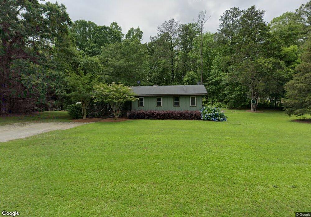
1059 Joe Stephens Rd Franklin, GA 30217
Estimated Value: $141,000 - $246,000
2
Beds
1
Bath
1,422
Sq Ft
$140/Sq Ft
Est. Value
About This Home
This home is located at 1059 Joe Stephens Rd, Franklin, GA 30217 and is currently estimated at $198,532, approximately $139 per square foot. 1059 Joe Stephens Rd is a home located in Heard County with nearby schools including Heard County High School.
Ownership History
Date
Name
Owned For
Owner Type
Purchase Details
Closed on
May 24, 2000
Sold by
Bomer Doris A
Bought by
Patterson Keith
Current Estimated Value
Purchase Details
Closed on
Mar 1, 1990
Sold by
Hand Beavis T
Bought by
Bomer Doris A
Purchase Details
Closed on
Sep 1, 1987
Sold by
Jarmon Doris J
Bought by
Hand Beavis T
Purchase Details
Closed on
Oct 7, 1982
Sold by
Miller B Thomas
Bought by
Jarmon Dan A
Purchase Details
Closed on
Jan 1, 1901
Sold by
Jarmon Dan A
Bought by
Jarmon Doris J
Create a Home Valuation Report for This Property
The Home Valuation Report is an in-depth analysis detailing your home's value as well as a comparison with similar homes in the area
Home Values in the Area
Average Home Value in this Area
Purchase History
| Date | Buyer | Sale Price | Title Company |
|---|---|---|---|
| Patterson Keith | $37,600 | -- | |
| Bomer Doris A | -- | -- | |
| Hand Beavis T | $12,300 | -- | |
| Jarmon Dan A | -- | -- | |
| Jarmon Doris J | -- | -- |
Source: Public Records
Tax History Compared to Growth
Tax History
| Year | Tax Paid | Tax Assessment Tax Assessment Total Assessment is a certain percentage of the fair market value that is determined by local assessors to be the total taxable value of land and additions on the property. | Land | Improvement |
|---|---|---|---|---|
| 2024 | $911 | $47,182 | $2,484 | $44,698 |
| 2023 | $835 | $41,993 | $2,070 | $39,923 |
| 2022 | $813 | $40,935 | $1,402 | $39,533 |
| 2021 | $653 | $31,701 | $1,402 | $30,299 |
| 2020 | $616 | $29,741 | $1,402 | $28,339 |
| 2019 | $616 | $29,741 | $1,402 | $28,339 |
| 2018 | $673 | $29,741 | $1,402 | $28,339 |
| 2017 | $368 | $18,301 | $1,130 | $17,171 |
| 2016 | $368 | $18,301 | $1,130 | $17,171 |
| 2015 | -- | $17,014 | $2,138 | $14,876 |
| 2014 | -- | $17,014 | $2,138 | $14,876 |
| 2013 | -- | $21,748 | $2,138 | $19,610 |
Source: Public Records
Map
Nearby Homes
- 192 Hawk Rd
- 220 Dogwood Rd
- 0 Thomas Powers Rd Unit 10569332
- 0 Thomas Powers Rd Unit 5.54+/- ACRES
- 0 Thomas Powers Rd Unit 24228819
- 19860 Georgia 34
- 19860 Ga Hwy 34
- 323 Newman Rd
- 0 Newman Rd Unit 10559645
- 642 Elm Rd
- 4230 Joe Stephens Rd
- 38 Daniel Cir
- 1227 J D Walton Rd
- 189 & 191 W Plantation Dr
- 260 Ancient Oak Ln
- 712 Boy Scout Rd
- 927 Boy Scout Rd
- 17426 Georgia 34
- 4398 Georgia 34
- 815 Birch Rd
- 955 Joe Stephens Rd
- 1079 Joe Stephens Rd
- 1233 Joe Stephens Rd
- 1285 Joe Stephens Rd
- 915 Joe Stephens Rd
- 868 Joe Stephens Rd
- 640 Fir Rd
- 779 Joe Stephens Rd
- 655 Fir Rd
- 2106 George Brown Rd
- 740 Joe Stephens Rd
- 715 Joe Stephens Rd
- 2104 George Brown Rd
- 820 Joe Stephens Rd
- 2102 George Brown Rd
- 711 Joe Stephens Rd
- 755 Joe Stephens Rd
- 2222 George Brown Rd
- 1400 Joe Stephens Rd
- 569 Fir Rd