1059 Kimi Way Placerville, CA 95667
Estimated Value: $551,510 - $659,000
3
Beds
2
Baths
2,084
Sq Ft
$281/Sq Ft
Est. Value
About This Home
This home is located at 1059 Kimi Way, Placerville, CA 95667 and is currently estimated at $586,628, approximately $281 per square foot. 1059 Kimi Way is a home located in El Dorado County with nearby schools including El Dorado High School and El Dorado Adventist School.
Ownership History
Date
Name
Owned For
Owner Type
Purchase Details
Closed on
Jun 16, 2015
Sold by
Hough Peter W and Hough Wendy W
Bought by
Hough Family Trust
Current Estimated Value
Purchase Details
Closed on
Oct 3, 1994
Sold by
Moore Loren T and Moore Michelle
Bought by
Hough Peter W and Hough Wendy W
Home Financials for this Owner
Home Financials are based on the most recent Mortgage that was taken out on this home.
Original Mortgage
$202,500
Interest Rate
8.54%
Create a Home Valuation Report for This Property
The Home Valuation Report is an in-depth analysis detailing your home's value as well as a comparison with similar homes in the area
Home Values in the Area
Average Home Value in this Area
Purchase History
| Date | Buyer | Sale Price | Title Company |
|---|---|---|---|
| Hough Family Trust | -- | None Available | |
| Hough Peter W | $225,000 | First American Title Co |
Source: Public Records
Mortgage History
| Date | Status | Borrower | Loan Amount |
|---|---|---|---|
| Closed | Hough Peter W | $202,500 |
Source: Public Records
Tax History
| Year | Tax Paid | Tax Assessment Tax Assessment Total Assessment is a certain percentage of the fair market value that is determined by local assessors to be the total taxable value of land and additions on the property. | Land | Improvement |
|---|---|---|---|---|
| 2025 | $3,846 | $377,890 | $113,357 | $264,533 |
| 2024 | $3,846 | $370,482 | $111,135 | $259,347 |
| 2023 | $3,800 | $363,218 | $108,956 | $254,262 |
| 2022 | $3,744 | $356,097 | $106,820 | $249,277 |
| 2021 | $3,701 | $349,116 | $104,726 | $244,390 |
| 2020 | $3,645 | $345,538 | $103,653 | $241,885 |
| 2019 | $3,599 | $338,764 | $101,621 | $237,143 |
| 2018 | $3,490 | $332,123 | $99,629 | $232,494 |
| 2017 | $3,436 | $325,612 | $97,676 | $227,936 |
| 2016 | $3,383 | $319,228 | $95,761 | $223,467 |
| 2015 | $3,285 | $314,435 | $94,324 | $220,111 |
| 2014 | -- | $308,277 | $92,477 | $215,800 |
Source: Public Records
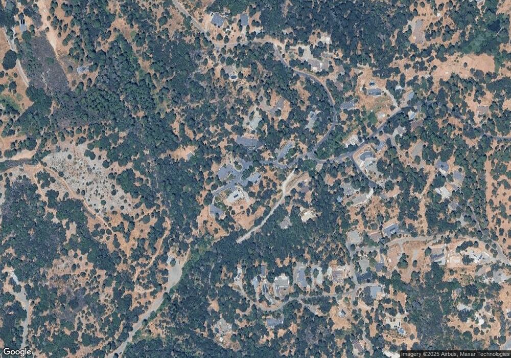
Map
Nearby Homes
- 1110 Madrone Ln
- 2095 Wild Goose Canyon Rd
- 2624 Liberty Mine Ct
- 1008 Utah Dr
- 1012 Utah Dr
- 1017 Utah Dr
- 1002 Utah Dr
- 945 Crawford Drift Ct
- 944 Crawford Drift Ct
- 1000 Utah Dr
- 2603 Kereka Ct
- 2532 Golden Eagle Dr
- 2655 Mona Dr
- 2725 Clay St
- 2940 Anderson Way
- 918 Woodpecker Ct
- 9425 Mosquito Rd
- 2921 Miller Way
- 2852 Hocking St
- 885 Hillcrest St
- 0 Big Canyon Creek Rd
- Tracts 9-13 Canyon Creek Rd
- 2267 Big Canyon Creek Rd
- 1054 Kimi Way
- 2283 Big Canyon Creek Rd
- 1066 Kimi Way
- 2277 Big Canyon Creek Rd
- 1041 Kimi Way
- 1084 Madrone Ln
- 1010 Madrone Ln
- 1009 Madrone Ln
- 1076 Madrone Ln
- 1090 Madrone Ln
- 2402 Patton Ct
- 2363 Big Canyon Creek Rd
- 2335 Big Canyon Creek Rd
- 2371 Big Canyon Creek Rd
- 2345 Big Canyon Creek Rd
- 2408 Patton Ct
- 2401 Patton Ct
Your Personal Tour Guide
Ask me questions while you tour the home.