Estimated Value: $80,427 - $199,000
Studio
--
Bath
--
Sq Ft
10,019
Sq Ft Lot
About This Home
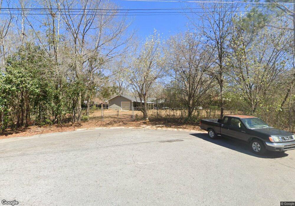
This home is located at 1059 Lancing Ct, Perry, GA 31069 and is currently estimated at $134,809. 1059 Lancing Ct is a home located in Houston County with nearby schools including Morningside Elementary School, Perry Middle School, and Perry High School.
Ownership History
Date
Name
Owned For
Owner Type
Purchase Details
Closed on
Aug 13, 2003
Sold by
Rodgers Evangeline R
Bought by
Rodgers Evangeline R and Rodgers Howard*
Current Estimated Value
Purchase Details
Closed on
Jun 24, 1997
Sold by
Arcos Robert D and Nancy M*
Bought by
Rodgers Evangeline R
Purchase Details
Closed on
Oct 23, 1981
Sold by
First National Bank Of Macon
Bought by
Arcos Robert D and Nancy M*
Purchase Details
Closed on
Oct 10, 1979
Sold by
Fickling & Walker Inc
Bought by
Fickling & Walker Co
Purchase Details
Closed on
Dec 2, 1974
Sold by
Blm Construction Co Inc
Bought by
Fickling & Walker Inc
Create a Home Valuation Report for This Property
The Home Valuation Report is an in-depth analysis detailing your home's value as well as a comparison with similar homes in the area
Home Values in the Area
Average Home Value in this Area
Purchase History
| Date | Buyer | Sale Price | Title Company |
|---|---|---|---|
| Rodgers Evangeline R | -- | -- | |
| Rodgers Evangeline R | -- | -- | |
| Arcos Robert D | -- | -- | |
| Fickling & Walker Co | -- | -- | |
| Fickling & Walker Inc | -- | -- | |
| Blm Construction Co Inc | -- | -- |
Source: Public Records
Tax History
| Year | Tax Paid | Tax Assessment Tax Assessment Total Assessment is a certain percentage of the fair market value that is determined by local assessors to be the total taxable value of land and additions on the property. | Land | Improvement |
|---|---|---|---|---|
| 2025 | $218 | $6,640 | $4,000 | $2,640 |
| 2024 | $241 | $6,560 | $3,920 | $2,640 |
| 2023 | $243 | $6,560 | $3,920 | $2,640 |
| 2022 | $151 | $6,560 | $3,920 | $2,640 |
| 2021 | $152 | $6,560 | $3,920 | $2,640 |
| 2020 | $122 | $5,240 | $3,920 | $1,320 |
| 2019 | $122 | $5,240 | $3,920 | $1,320 |
| 2018 | $122 | $5,240 | $3,920 | $1,320 |
| 2017 | $122 | $5,240 | $3,920 | $1,320 |
| 2016 | $122 | $5,240 | $3,920 | $1,320 |
| 2015 | $122 | $5,240 | $3,920 | $1,320 |
| 2014 | -- | $5,240 | $3,920 | $1,320 |
| 2013 | -- | $5,240 | $3,920 | $1,320 |
Source: Public Records
Map
Nearby Homes
- 129 Kingston Village Dr
- 1703 Sewell Cir
- 1304 Davis Ave
- 1312 Keith Dr
- 411 Stonegate Trail
- 1729 Milton Way
- 1432 Duncan Ave
- 1418 Parkway Dr
- 0 Carroll Aly
- 1402 Park Ave
- 1205 Swift St
- 625 Cooper St
- 138 Sadie Heights Blvd
- 135 Sadie Heights Blvd
- 137 Sadie Heights Blvd
- 1423 Tucker Rd
- 634 Pine Ridge St
- 3 Pleasant Oaks Dr
- 1 Pleasant Oaks Dr
- 101 Red Cedar Run
- 1127 Kingston Rd
- 1125 Kingston Rd
- 1129 Kingston Rd
- 1057 Lancing Ct
- 1055 King Cir
- 1063 Lancing Ct
- 1123 Kingston Rd
- 1131 Kingston Rd
- 1067 Lancing Ct
- 1053 King Cir
- 1146 Lovely Ln
- 1121 Kingston Rd
- 1128 Kingston Rd
- 1126 Kingston Rd
- 1069 King Cir
- 1133 Kingston Rd
- 1051 King Cir
- 1030 King Cir
- 1142 Lovely Ln
- 1130 Kingston Rd
Your Personal Tour Guide
Ask me questions while you tour the home.