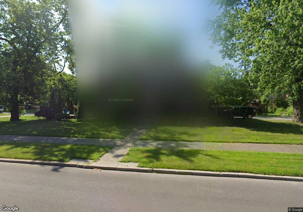
1059 Whittier Rd Grosse Pointe Park, MI 48230
Estimated Value: $557,000 - $805,000
6
Beds
4
Baths
2,880
Sq Ft
$235/Sq Ft
Est. Value
About This Home
This home is located at 1059 Whittier Rd, Grosse Pointe Park, MI 48230 and is currently estimated at $677,919, approximately $235 per square foot. 1059 Whittier Rd is a home located in Wayne County with nearby schools including George Defer Elementary School, Pierce Middle School, and Grosse Pointe South High School.
Ownership History
Date
Name
Owned For
Owner Type
Purchase Details
Closed on
Mar 24, 2009
Sold by
Wells Fargo Home Mortgage Inc
Bought by
Jpmc Specialty Mortgage Llc
Current Estimated Value
Purchase Details
Closed on
Nov 6, 2002
Sold by
Bramlage Donald L
Bought by
Directors Acceptance
Create a Home Valuation Report for This Property
The Home Valuation Report is an in-depth analysis detailing your home's value as well as a comparison with similar homes in the area
Home Values in the Area
Average Home Value in this Area
Purchase History
| Date | Buyer | Sale Price | Title Company |
|---|---|---|---|
| Jpmc Specialty Mortgage Llc | -- | None Available | |
| Directors Acceptance | $359,000 | -- |
Source: Public Records
Tax History Compared to Growth
Tax History
| Year | Tax Paid | Tax Assessment Tax Assessment Total Assessment is a certain percentage of the fair market value that is determined by local assessors to be the total taxable value of land and additions on the property. | Land | Improvement |
|---|---|---|---|---|
| 2025 | $6,566 | $313,600 | $0 | $0 |
| 2024 | $6,566 | $288,900 | $0 | $0 |
| 2023 | $6,276 | $264,300 | $0 | $0 |
| 2022 | $5,973 | $245,100 | $0 | $0 |
| 2021 | $10,653 | $238,000 | $0 | $0 |
| 2019 | $10,977 | $224,200 | $0 | $0 |
| 2018 | $5,844 | $204,500 | $0 | $0 |
| 2017 | $10,122 | $122,200 | $0 | $0 |
| 2016 | $9,484 | $198,900 | $0 | $0 |
| 2015 | $17,057 | $196,600 | $0 | $0 |
| 2013 | $16,524 | $169,200 | $0 | $0 |
| 2012 | $4,087 | $176,600 | $76,700 | $99,900 |
Source: Public Records
Map
Nearby Homes
- 1131 Audubon Rd
- 1200 Audubon Rd
- 1036 Yorkshire Rd
- 1117 Bishop Rd
- 1148 Devonshire Rd
- 616 Cadieux Rd
- 43 Cranford Ln
- 25 Village Ln
- 1387 Kensington Ave
- 1386 Three Mile Dr
- 16935 Maumee Ave
- 1350 Buckingham Rd
- 1358 Harvard Rd
- 1386 Grayton St
- 1425 Bedford Rd
- 386 Notre Dame St
- 814 Harcourt Rd Unit 816
- 801 Park Ln
- 775 Notre Dame St
- 3430 Bedford St
- 1055 Whittier Rd
- 1101 Whittier Rd
- 1058 Audubon Rd
- 1053 Whittier Rd
- 1052 Audubon Rd
- 1051 Whittier Rd
- 1104 Audubon Rd
- 1060 Whittier Rd
- 1058 Whittier Rd
- 1108 Audubon Rd
- 1115 Whittier Rd
- 1050 Audubon Rd
- 1054 Whittier Rd
- 1100 Whittier Rd
- 1049 Whittier Rd
- 1057 Audubon Rd
- 1114 Audubon Rd
- 1121 Whittier Rd
- 1108 Whittier Rd
- 1052 Whittier Rd