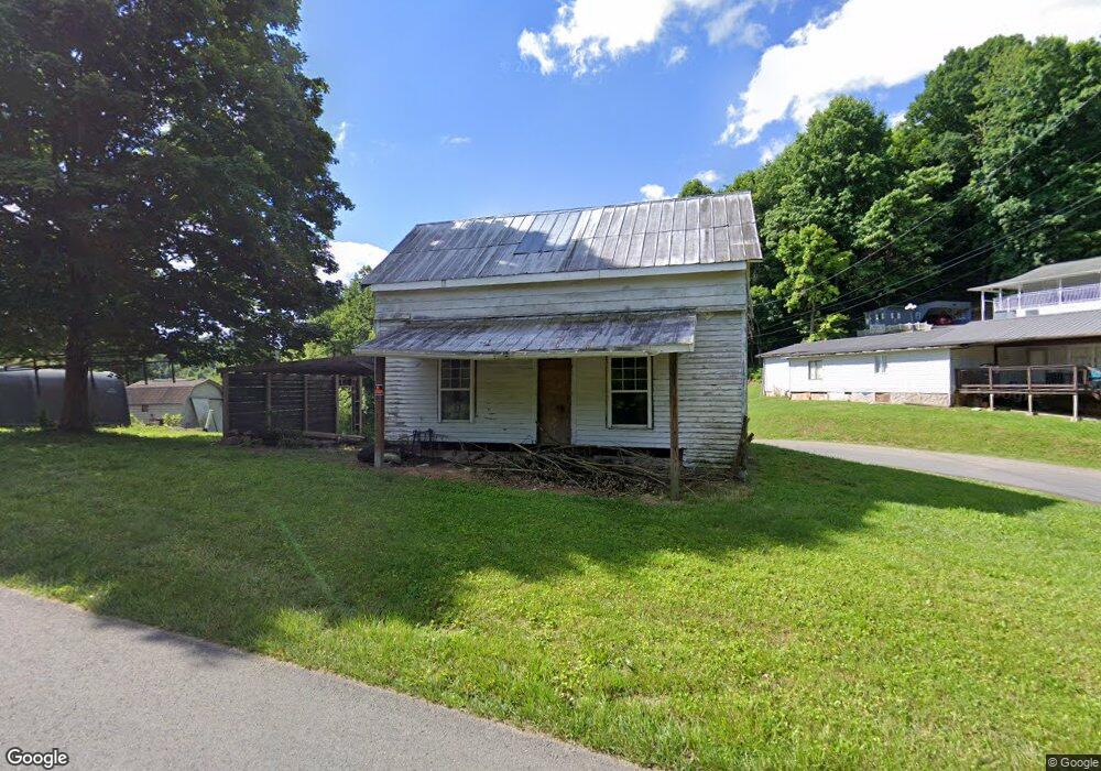
10592 Oak Grove Rd Bristol, VA 24202
Estimated Value: $41,224 - $163,000
2
Beds
1
Bath
1,030
Sq Ft
$102/Sq Ft
Est. Value
About This Home
This home is located at 10592 Oak Grove Rd, Bristol, VA 24202 and is currently estimated at $105,556, approximately $102 per square foot. 10592 Oak Grove Rd is a home located in Washington County with nearby schools including High Point Elementary School, Wallace Middle School, and John S. Battle High School.
Ownership History
Date
Name
Owned For
Owner Type
Purchase Details
Closed on
Jan 15, 2024
Sold by
Doran Harold and Boyd Linda
Bought by
Heath Christopher
Current Estimated Value
Purchase Details
Closed on
Aug 1, 2022
Sold by
Lunsford Marilyn Gaye and Devotie Larry Scott
Bought by
Doran Harold and Boyd Linda
Purchase Details
Closed on
Sep 26, 2019
Sold by
Sproles Barbara V and Sproles Rex Cecil
Bought by
Henderson Kevin E
Create a Home Valuation Report for This Property
The Home Valuation Report is an in-depth analysis detailing your home's value as well as a comparison with similar homes in the area
Home Values in the Area
Average Home Value in this Area
Purchase History
| Date | Buyer | Sale Price | Title Company |
|---|---|---|---|
| Heath Christopher | $18,000 | None Listed On Document | |
| Doran Harold | $30,000 | None Listed On Document | |
| Henderson Kevin E | $15,000 | None Available |
Source: Public Records
Tax History Compared to Growth
Tax History
| Year | Tax Paid | Tax Assessment Tax Assessment Total Assessment is a certain percentage of the fair market value that is determined by local assessors to be the total taxable value of land and additions on the property. | Land | Improvement |
|---|---|---|---|---|
| 2025 | $194 | $38,500 | $33,300 | $5,200 |
| 2024 | $194 | $32,400 | $27,200 | $5,200 |
| 2023 | $194 | $32,400 | $27,200 | $5,200 |
| 2022 | $194 | $32,400 | $27,200 | $5,200 |
| 2021 | $194 | $32,400 | $27,200 | $5,200 |
| 2019 | $204 | $32,400 | $27,200 | $5,200 |
| 2018 | $204 | $32,400 | $27,200 | $5,200 |
| 2017 | $203 | $32,200 | $27,200 | $5,000 |
| 2016 | $171 | $27,200 | $22,200 | $5,000 |
| 2015 | $171 | $27,200 | $22,200 | $5,000 |
| 2014 | $171 | $27,200 | $22,200 | $5,000 |
Source: Public Records
Map
Nearby Homes
- Tbd Old Airport Rd
- 10357 Goldspier Dr
- 10292 Redwood Cir
- 390 Wallace Pike
- 21524 Benhams Rd
- 22126 Pinebrook Dr
- 200 Henrys Ln
- TBD Benhams Rd
- 377 Elbert Way
- 311 Brookdale Cir
- 19796 Spur Strap Rd
- Tbd Snaffle Bit Ln
- 125 Rosewood Ln
- 57 Beaverview Dr
- 11+ Acres Campground Rd
- 363 Sandalwood Dr
- 1091 Long Crescent Dr
- 1605 Overhill Rd
- 9247 Baker Ln
- 22319 Campground Rd
- 21114 Tranbarger Rd
- 10597 Oak Grove Rd
- 10590 Oak Grove Rd
- 21124 Tranbarger Rd
- 10559 Oak Grove Rd
- 10554 Oak Grove Rd
- 10635 Oak Grove Rd
- 10548 Oak Grove Rd
- 21056 Anaconda Ln
- 21172 Tranbarger Rd
- LOT 16A Oak Grove Rd
- LOT 17 Oak Grove Rd
- LOT 18 Oak Grove Rd
- Tr 4 Oak Grove Rd
- 10523 Oak Grove Rd
- 10547 Oak Grove Rd
- 10657 Oak Grove Rd
- 21188 Tranbarger Rd
- 10530 Oak Grove Rd
- 0 Tbd Grindstone Branch Rd Unit 423876