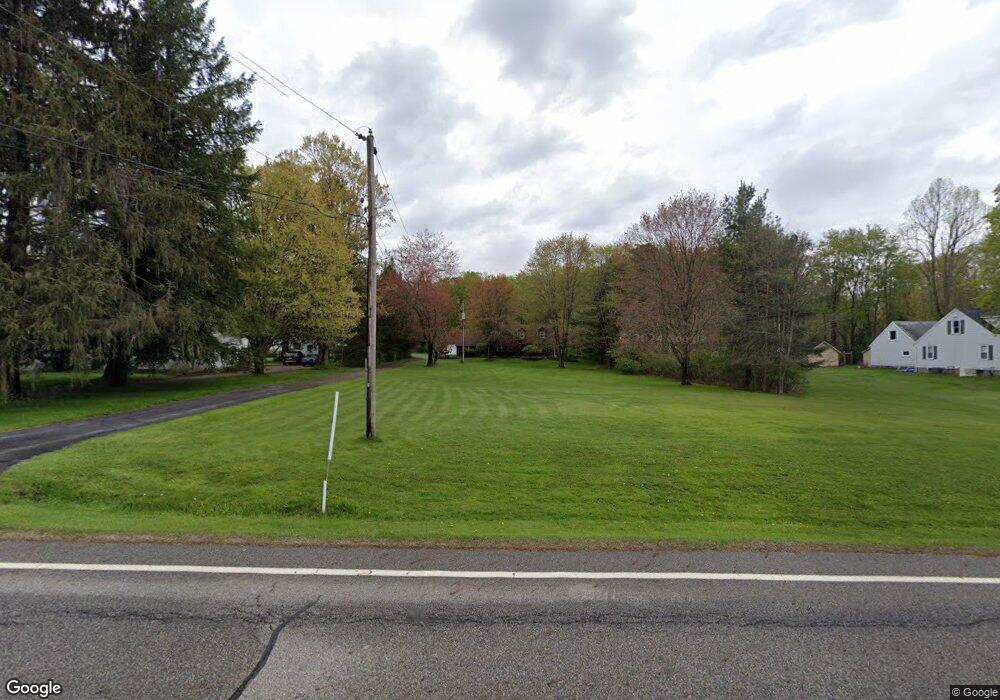
10594 Mulberry Rd Chardon, OH 44024
Estimated Value: $409,000 - $446,000
3
Beds
3
Baths
2,173
Sq Ft
$198/Sq Ft
Est. Value
About This Home
This home is located at 10594 Mulberry Rd, Chardon, OH 44024 and is currently estimated at $431,197, approximately $198 per square foot. 10594 Mulberry Rd is a home located in Geauga County with nearby schools including Chardon High School and St. Mary Elementary School.
Ownership History
Date
Name
Owned For
Owner Type
Purchase Details
Closed on
Feb 10, 2003
Sold by
Mcgrath Robin
Bought by
Schulze Andrew W and Schulze Deborah C
Current Estimated Value
Home Financials for this Owner
Home Financials are based on the most recent Mortgage that was taken out on this home.
Original Mortgage
$275,000
Interest Rate
6.01%
Mortgage Type
New Conventional
Purchase Details
Closed on
Jan 22, 2003
Sold by
Mcgrath Robin and Mcgrath Lori
Bought by
Schulze Andrew W and Schulze Deborah C
Home Financials for this Owner
Home Financials are based on the most recent Mortgage that was taken out on this home.
Original Mortgage
$275,000
Interest Rate
6.01%
Mortgage Type
New Conventional
Purchase Details
Closed on
Feb 16, 1988
Bought by
Mcgrath Robin and Mcgrath Lori
Create a Home Valuation Report for This Property
The Home Valuation Report is an in-depth analysis detailing your home's value as well as a comparison with similar homes in the area
Home Values in the Area
Average Home Value in this Area
Purchase History
| Date | Buyer | Sale Price | Title Company |
|---|---|---|---|
| Schulze Andrew W | $280,000 | -- | |
| Schulze Andrew W | $280,000 | Title Xperts Agency Inc | |
| Mcgrath Robin | $18,000 | -- |
Source: Public Records
Mortgage History
| Date | Status | Borrower | Loan Amount |
|---|---|---|---|
| Previous Owner | Schulze Andrew W | $275,000 | |
| Previous Owner | Schulze Andrew W | $275,000 |
Source: Public Records
Tax History Compared to Growth
Tax History
| Year | Tax Paid | Tax Assessment Tax Assessment Total Assessment is a certain percentage of the fair market value that is determined by local assessors to be the total taxable value of land and additions on the property. | Land | Improvement |
|---|---|---|---|---|
| 2024 | $5,717 | $116,870 | $19,740 | $97,130 |
| 2023 | $5,717 | $116,870 | $19,740 | $97,130 |
| 2022 | $5,168 | $90,760 | $16,420 | $74,340 |
| 2021 | $5,145 | $90,760 | $16,420 | $74,340 |
| 2020 | $5,183 | $90,760 | $16,420 | $74,340 |
| 2019 | $4,660 | $80,510 | $16,420 | $64,090 |
| 2018 | $4,976 | $80,510 | $16,420 | $64,090 |
| 2017 | $4,660 | $80,510 | $16,420 | $64,090 |
| 2016 | $4,686 | $79,000 | $16,420 | $62,580 |
| 2015 | $4,553 | $79,000 | $16,420 | $62,580 |
| 2014 | $4,414 | $79,000 | $16,420 | $62,580 |
| 2013 | $4,442 | $79,000 | $16,420 | $62,580 |
Source: Public Records
Map
Nearby Homes
- 10504 Mulberry Rd
- 0 Fowlers Mill Rd Unit 5140846
- 10891 Nollwood Dr
- 10970 Wood Hollow Dr
- 10955 Auburn Rd
- 10589 Fincherie Dr
- 11785 Stonegate Dr
- 11955 Fowlers Mill Rd
- 11571 Basswood Rd
- 10036 Wilson Mills Rd
- 11440 Woodiebrook Rd
- 9753 Mulberry Rd
- 11430 Parkside Rd
- 9723 Thwing Rd
- 11524 Lakeview Rd
- 11610 Pinehurst Dr
- 9710 Wilson Mills Rd
- V/L Heath Rd
- 9610 Wilson Mills Rd
- VL Wilson Mills Rd
- 10584 Mulberry Rd
- 10610 Mulberry Rd
- 10620 Mulberry Rd
- 10554 Mulberry Rd
- 10640 Mulberry Rd
- 10480 Meadowhurst Ln
- 10471 Meadowhurst Ln
- 10476 Meadowhurst Ln
- 10530 Mulberry Rd
- 10461 Meadowhurst Ln
- 10605 Mulberry Rd
- 10474 Meadowhurst Ln
- 10671 Mulberry Rd
- 10569 Thwing Rd
- 10470 Meadowhurst Ln
- 10545 Mulberry Rd
- 10431 Meadowhurst Ln
- 10460 Meadowhurst Ln
- 10484 Mulberry Rd
- 10441 Meadowhurst Ln