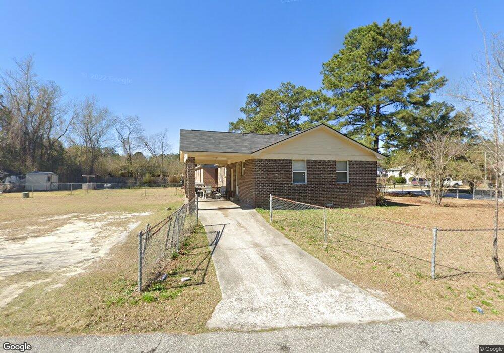
106 Argus Cir West Columbia, SC 29172
Pine Ridge NeighborhoodEstimated Value: $126,784 - $169,000
3
Beds
2
Baths
1,025
Sq Ft
$143/Sq Ft
Est. Value
About This Home
This home is located at 106 Argus Cir, West Columbia, SC 29172 and is currently estimated at $146,946, approximately $143 per square foot. 106 Argus Cir is a home located in Lexington County with nearby schools including Cayce Elementary, R. H. Fulmer Middle, and Airport High School.
Ownership History
Date
Name
Owned For
Owner Type
Purchase Details
Closed on
Feb 29, 2012
Sold by
Vinson Phillip S
Bought by
Vinson Properties Llc
Current Estimated Value
Purchase Details
Closed on
Feb 17, 2012
Sold by
Vinson Nicole C
Bought by
Vinson Properties Llc
Purchase Details
Closed on
Mar 9, 2004
Sold by
Vinson Sandy G
Bought by
Vinson Properties Llc
Purchase Details
Closed on
Jul 23, 1999
Sold by
Anderson Robert F
Bought by
Vinson James A
Create a Home Valuation Report for This Property
The Home Valuation Report is an in-depth analysis detailing your home's value as well as a comparison with similar homes in the area
Home Values in the Area
Average Home Value in this Area
Purchase History
| Date | Buyer | Sale Price | Title Company |
|---|---|---|---|
| Vinson Properties Llc | -- | -- | |
| Vinson Properties Llc | -- | -- | |
| Vinson Properties Llc | -- | -- | |
| Vinson Properties Llc | -- | -- | |
| Vinson Properties Llc | -- | -- | |
| Vinson Properties Llc | -- | -- | |
| Vinson Properties Llc | -- | -- | |
| Vinson Properties Llc | -- | -- | |
| Vinson Properties Llc | -- | -- | |
| Vinson Properties Llc | -- | -- | |
| Vinson Properties Llc | -- | -- | |
| Vinson Properties Llc | -- | -- | |
| Vinson James A | $25,000 | -- |
Source: Public Records
Tax History Compared to Growth
Tax History
| Year | Tax Paid | Tax Assessment Tax Assessment Total Assessment is a certain percentage of the fair market value that is determined by local assessors to be the total taxable value of land and additions on the property. | Land | Improvement |
|---|---|---|---|---|
| 2024 | $881 | $2,549 | $540 | $2,009 |
| 2023 | $881 | $2,549 | $540 | $2,009 |
| 2022 | $823 | $2,549 | $540 | $2,009 |
| 2020 | $791 | $2,549 | $540 | $2,009 |
| 2019 | $752 | $2,395 | $420 | $1,975 |
| 2018 | $744 | $2,395 | $420 | $1,975 |
| 2017 | $734 | $2,395 | $420 | $1,975 |
| 2016 | $740 | $2,395 | $420 | $1,975 |
| 2014 | $834 | $3,189 | $420 | $2,769 |
| 2013 | -- | $3,190 | $420 | $2,770 |
Source: Public Records
Map
Nearby Homes
- 14 Yashica Ct
- 20 Mayligh Ct
- 21 Mayligh Ct
- 14 Mayligh Ct
- 13 Mayligh Ct
- 239 Lloydwood Dr
- 435 Old Plantation Dr
- 12 Deveaux Ct
- 431 Old Plantation Dr
- 430A Old Plantation Dr
- 429 Old Plantation Dr
- 308 Rossclan Rd
- 314A Lloydwood Dr
- 314 Lloydwood Dr
- 326A Lloydwood Dr
- 324A Lloydwood Dr
- 237 Lloydwood Dr
- 312 Lloydwood Dr
- 308A Lloydwood Dr
- 318 Lloydwood Dr