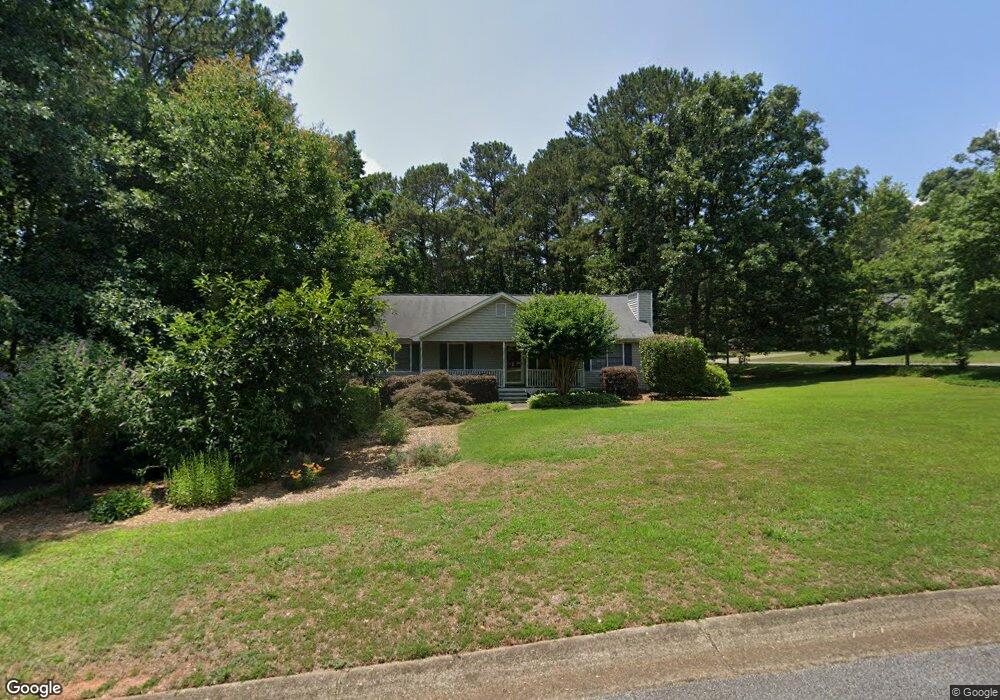
106 Aspen Ct Unit 1 Woodstock, GA 30188
Union Hill NeighborhoodEstimated Value: $343,062 - $375,000
3
Beds
2
Baths
1,420
Sq Ft
$254/Sq Ft
Est. Value
About This Home
This home is located at 106 Aspen Ct Unit 1, Woodstock, GA 30188 and is currently estimated at $360,516, approximately $253 per square foot. 106 Aspen Ct Unit 1 is a home located in Cherokee County with nearby schools including Johnston Elementary School, Mill Creek Middle School, and River Ridge High School.
Ownership History
Date
Name
Owned For
Owner Type
Purchase Details
Closed on
Oct 31, 2002
Sold by
Cantrell Shannon L
Bought by
Pinkowski Robert
Current Estimated Value
Home Financials for this Owner
Home Financials are based on the most recent Mortgage that was taken out on this home.
Original Mortgage
$125,864
Outstanding Balance
$51,387
Interest Rate
5.93%
Estimated Equity
$309,129
Create a Home Valuation Report for This Property
The Home Valuation Report is an in-depth analysis detailing your home's value as well as a comparison with similar homes in the area
Home Values in the Area
Average Home Value in this Area
Purchase History
| Date | Buyer | Sale Price | Title Company |
|---|---|---|---|
| Pinkowski Robert | $127,900 | -- |
Source: Public Records
Mortgage History
| Date | Status | Borrower | Loan Amount |
|---|---|---|---|
| Open | Pinkowski Robert | $125,864 |
Source: Public Records
Tax History Compared to Growth
Tax History
| Year | Tax Paid | Tax Assessment Tax Assessment Total Assessment is a certain percentage of the fair market value that is determined by local assessors to be the total taxable value of land and additions on the property. | Land | Improvement |
|---|---|---|---|---|
| 2025 | $3,215 | $122,420 | $32,000 | $90,420 |
| 2024 | $3,077 | $118,420 | $30,400 | $88,020 |
| 2023 | $3,035 | $116,780 | $26,800 | $89,980 |
| 2022 | $2,575 | $97,980 | $25,200 | $72,780 |
| 2021 | $2,377 | $83,740 | $20,000 | $63,740 |
| 2020 | $1,909 | $67,180 | $17,000 | $50,180 |
| 2019 | $1,804 | $63,480 | $16,400 | $47,080 |
| 2018 | $1,691 | $59,160 | $14,800 | $44,360 |
| 2017 | $1,595 | $138,400 | $12,800 | $42,560 |
| 2016 | $1,471 | $126,300 | $11,600 | $38,920 |
| 2015 | $1,430 | $121,600 | $11,600 | $37,040 |
| 2014 | $1,400 | $118,800 | $11,600 | $35,920 |
Source: Public Records
Map
Nearby Homes
- 214 Valley Brook Dr
- 234 Holly Creek Way
- 1095 Ashlin Dr
- 228 Holly Creek Way
- 151 Springwater Trace
- 102 Magnolia Springs Ln
- 157 Springwater Trace
- 1855 Doefield St
- 614 Springharbor Dr
- 160 Highlands Dr
- 550 Fox Creek Crossing
- 161 Stoney Creek Pkwy
- 531 Fox Creek Crossing
- 479 Bradshaw Ln
- 512 S Holly Springs Rd
- 505 Lost Creek Dr
- 1265 Morgan Rd
- 303 White Oak Cove Unit 1
- 109 Aspen Ct
- 108 Aspen Ct
- 302 White Oak Cove
- 305 White Oak Cove Unit 1
- 111 Aspen Ct
- 107 Aspen Ct
- 304 White Oak Cove
- 306 White Oak Cove Unit I
- 312 White Oak Cove
- 310 White Oak Cove
- 308 White Oak Cove
- 102 Aspen Ct
- 113 Aspen Ct Unit 1
- 314 White Oak Cove
- 105 Aspen Ct
- 404 Hickory Walk
- 307 White Oak Cove
- 110 Aspen Ct Unit 1
- 406 Hickory Walk