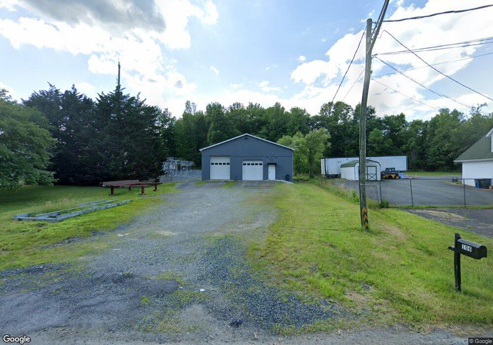
106 Bouzarth Ln Aberdeen, MD 21001
Estimated Value: $280,428
--
Bed
--
Bath
2,024
Sq Ft
$139/Sq Ft
Est. Value
About This Home
This home is located at 106 Bouzarth Ln, Aberdeen, MD 21001 and is currently estimated at $280,428, approximately $138 per square foot. 106 Bouzarth Ln is a home located in Harford County with nearby schools including Bakerfield Elementary School, Aberdeen Middle School, and Aberdeen High School.
Ownership History
Date
Name
Owned For
Owner Type
Purchase Details
Closed on
Jun 9, 2020
Sold by
Brown Rodger M and Brown Rita F
Bought by
Srr Llc
Current Estimated Value
Purchase Details
Closed on
Jun 4, 1984
Sold by
Hause William B and Hause Wf
Bought by
Brown Rodger M and Brown Rita F
Home Financials for this Owner
Home Financials are based on the most recent Mortgage that was taken out on this home.
Original Mortgage
$45,000
Interest Rate
14.29%
Create a Home Valuation Report for This Property
The Home Valuation Report is an in-depth analysis detailing your home's value as well as a comparison with similar homes in the area
Home Values in the Area
Average Home Value in this Area
Purchase History
| Date | Buyer | Sale Price | Title Company |
|---|---|---|---|
| Srr Llc | $200,000 | Lawyers Express Title Llc | |
| Brown Rodger M | $45,000 | -- |
Source: Public Records
Mortgage History
| Date | Status | Borrower | Loan Amount |
|---|---|---|---|
| Previous Owner | Brown Rodger M | $45,000 |
Source: Public Records
Tax History Compared to Growth
Tax History
| Year | Tax Paid | Tax Assessment Tax Assessment Total Assessment is a certain percentage of the fair market value that is determined by local assessors to be the total taxable value of land and additions on the property. | Land | Improvement |
|---|---|---|---|---|
| 2025 | $1,953 | $212,167 | $0 | $0 |
| 2024 | $1,953 | $204,833 | $0 | $0 |
| 2023 | $1,883 | $197,500 | $92,200 | $105,300 |
| 2022 | $1,747 | $183,267 | $0 | $0 |
| 2021 | $3,494 | $169,033 | $0 | $0 |
| 2020 | $1,557 | $154,800 | $92,200 | $62,600 |
| 2019 | $1,557 | $154,800 | $92,200 | $62,600 |
| 2018 | $0 | $154,800 | $92,200 | $62,600 |
| 2017 | $1,542 | $154,900 | $0 | $0 |
| 2016 | -- | $154,733 | $0 | $0 |
| 2015 | $1,562 | $154,567 | $0 | $0 |
| 2014 | $1,562 | $154,400 | $0 | $0 |
Source: Public Records
Map
Nearby Homes
- 631 W Bel Air Ave
- 642 Westwood Dr
- 638 Westwood Dr
- 21 Gunnison Dr
- 296 Paradise Rd
- 754 Custis St
- 0 Battle Ave
- 650 Brenda Ln
- 647 Elm St
- 35 Hillman Ct
- 77 Baker St
- 73 Baker St
- 321 Woodland Green Ct
- 458 Roberts Way
- 444 Chestnut St
- 0 Harford St Unit MDHR2039982
- 406 Ford St
- 722 Bur Oak Ct Unit 77
- 458 Bonnett St
- 305 Mount Royal Ave
- 110 Bouzarth Ln
- 1 Bouzarth Ln
- 112 Bouzarth Ln
- 665 W Bel Air Ave
- 671 W Bel Air Ave
- 657 W Bel Air Ave
- 653 W Bel Air Ave
- 675 W Bel Air Ave
- 649 W Bel Air Ave
- 649 W Bel Air Ave Unit A
- 0 W Bel Air Ave
- 695 W Bel Air Ave
- 645 W Bel Air Ave
- 681 W Bel Air Ave
- 658 W Bel Air Ave
- 662 W Bel Air Ave
- 666 W Bel Air Ave
- 685 W Bel Air Ave
- 670 W Bel Air Ave
- 643 W Bel Air Ave