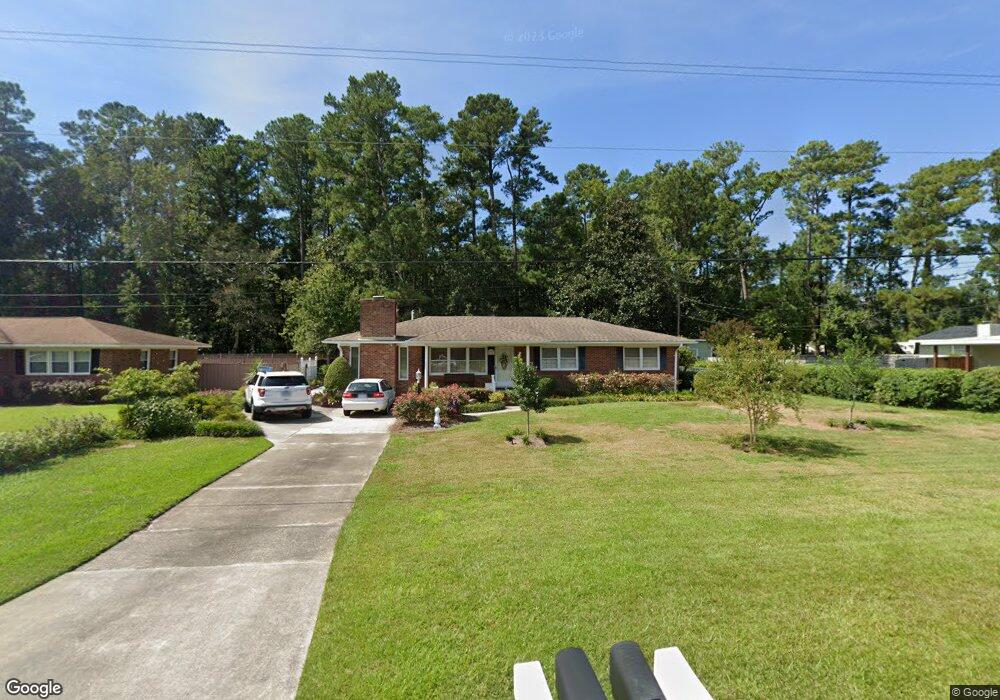
106 Brookfield Dr Wilmington, NC 28405
Estimated Value: $336,000 - $356,243
About This Home
This home is located at 106 Brookfield Dr, Wilmington, NC 28405 and is currently estimated at $345,081, approximately $224 per square foot. 106 Brookfield Dr is a home located in New Hanover County with nearby schools including Wrightsboro Elementary School, Holly Shelter Middle School, and Emsley A. Laney High School.
Ownership History
We collect this data history from publicly available records. To have your information removed, we recommend requesting removal directly through your county’s website.
Purchase Details
Purchase Details
Home Values in the Area
Average Home Value in this Area
Purchase History
We collect this data history from publicly available records. To have your information removed, we recommend requesting removal directly through your county’s website.
| Date | Buyer | Sale Price | Title Company |
|---|---|---|---|
| -- | None Listed On Document | ||
| -- | -- |
Tax History
We collect this data history from publicly available records. To have your information removed, we recommend requesting removal directly through your county’s website.
| Year | Tax Paid | Tax Assessment Tax Assessment Total Assessment is a certain percentage of the fair market value that is determined by local assessors to be the total taxable value of land and additions on the property. | Land | Improvement |
|---|---|---|---|---|
| 2025 | -- | $347,200 | $124,500 | $222,700 |
| 2023 | $509 | $182,000 | $70,100 | $111,900 |
| 2022 | $504 | $182,000 | $70,100 | $111,900 |
| 2021 | $756 | $182,000 | $70,100 | $111,900 |
| 2020 | $849 | $134,300 | $30,700 | $103,600 |
| 2019 | $849 | $134,300 | $30,700 | $103,600 |
| 2018 | $637 | $134,300 | $30,700 | $103,600 |
| 2017 | $870 | $134,300 | $30,700 | $103,600 |
| 2016 | $1,071 | $154,600 | $47,300 | $107,300 |
| 2015 | $996 | $154,600 | $47,300 | $107,300 |
| 2014 | $979 | $154,600 | $47,300 | $107,300 |
Map
- 117 Brookfield Dr
- 1859 N Kerr Ave
- 314 Brookfield Dr
- 1946 Farley Dr
- 1916 Simonton Dr
- 2043 N Kerr Ave
- 1218 Dotson Ct
- 4426 Robin Dale Ct
- 4633 Ballast Dr
- 2509 N Kerr Ave
- 1654 Bratton Ct
- 4402 Jason Ct
- 1464 Creek Bend Terrace
- 901 Spring Valley Rd
- 1429 Lewis Landing Ave
- 904 Grathwol Dr
- 4810 W Lord Byron Rd
- 807 Cheryl Ln
- 805 Spring Valley Rd
- 3606 Broken Limb Ct
- 4254 Gordon Rd
- 4245 Gordon Rd
- 101 Brookfield Dr
- 110 Brookfield Dr
- 4302 Gordon Rd
- 4253 Gordon Rd
- 105 Brookfield Dr
- 4301 Gordon Rd
- 109 Brookfield Dr
- 114 Brookfield Dr
- 4305 Gordon Rd
- 4312 Gordon Rd
- 4241 Gordon Rd Unit 16
- 4241 Gordon Rd
- 113 Brookfield Dr
- 118 Brookfield Dr
- 110 Gladbrook Dr
- 4235 Gordon Rd
- 106 Gladbrook Dr
- 114 Gladbrook Dr
Ask me questions while you tour the home.