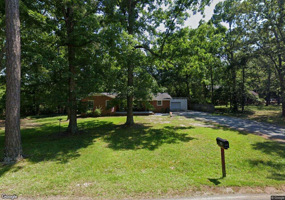
106 Buck Hill Rd Monroe, NC 28112
Estimated Value: $319,000 - $378,699
3
Beds
2
Baths
1,735
Sq Ft
$203/Sq Ft
Est. Value
About This Home
This home is located at 106 Buck Hill Rd, Monroe, NC 28112 and is currently estimated at $351,925, approximately $202 per square foot. 106 Buck Hill Rd is a home located in Union County with nearby schools including Walter Bickett Elementary School, Monroe Middle School, and Monroe High School.
Ownership History
Date
Name
Owned For
Owner Type
Purchase Details
Closed on
Aug 4, 2022
Sold by
Carelock Deborah W and Carelock Dale
Bought by
Crunkleton Roy E and Crunkleton Sheila H
Current Estimated Value
Purchase Details
Closed on
Feb 27, 2013
Sold by
Craig Gwen B
Bought by
Carelock Deborah W
Home Financials for this Owner
Home Financials are based on the most recent Mortgage that was taken out on this home.
Original Mortgage
$77,352
Interest Rate
3.5%
Mortgage Type
FHA
Create a Home Valuation Report for This Property
The Home Valuation Report is an in-depth analysis detailing your home's value as well as a comparison with similar homes in the area
Purchase History
| Date | Buyer | Sale Price | Title Company |
|---|---|---|---|
| Crunkleton Roy E | $92,000 | Meridian Title | |
| Carelock Deborah W | $79,000 | None Available |
Source: Public Records
Mortgage History
| Date | Status | Borrower | Loan Amount |
|---|---|---|---|
| Previous Owner | Carelock Deborah W | $77,352 |
Source: Public Records
Tax History
| Year | Tax Paid | Tax Assessment Tax Assessment Total Assessment is a certain percentage of the fair market value that is determined by local assessors to be the total taxable value of land and additions on the property. | Land | Improvement |
|---|---|---|---|---|
| 2025 | $2,465 | $282,000 | $0 | $0 |
| 2024 | $2,032 | $186,300 | $38,700 | $147,600 |
| 2023 | $2,032 | $186,300 | $38,700 | $147,600 |
| 2022 | $2,032 | $186,300 | $38,700 | $147,600 |
| 2021 | $2,032 | $186,300 | $38,700 | $147,600 |
| 2020 | $1,475 | $109,470 | $18,170 | $91,300 |
| 2019 | $1,475 | $109,470 | $18,170 | $91,300 |
| 2018 | $675 | $109,470 | $18,170 | $91,300 |
| 2017 | $1,497 | $109,500 | $18,200 | $91,300 |
| 2016 | $1,481 | $109,470 | $18,170 | $91,300 |
| 2015 | $850 | $109,470 | $18,170 | $91,300 |
| 2014 | $1,198 | $98,160 | $21,840 | $76,320 |
Source: Public Records
Map
Nearby Homes
- 1901 Waverly Dr
- 100 Forest Hills Dr
- 620 Hunley St
- 0 Simpson Cir
- 1508 Marion St
- 2209 Waverly Dr
- 2502 Waverly Dr
- 1003 Oak Hill Dr Unit 24
- 0 Avery Parker Rd
- 00 Lancaster Ave
- 0 Lancaster Hwy
- 415 Magnolia Dr
- 1022 Parker St
- 1008 Parker St
- 1100 Lucille Ave
- 00 Doster Rd
- 925 Southridge Dr
- 2503 Lancaster Hwy
- 2441 Wolf Pond Rd
- 1546 Secrest Commons Dr
- 104 Buck Hill Rd
- 107 Buck Hill Rd
- 112 Woodland Ln
- 110 Woodland Ln
- 111 Forest Hills Dr
- 116 Woodland Ln
- 108 Woodland Ln
- 113 Forest Hills Dr
- 108 Buck Hill Rd
- 109 Forest Hills Dr
- 2404 Waverly Dr
- 2413 Waverly Dr Unit 23
- 2407 Waverly Dr
- 2425 Waverly Dr Unit 21
- 2422 Waverly Dr Unit 7
- 2401 Waverly Dr Unit 25
- 2514 Waverly Dr Unit 11
- 113 Woodland Ln
- 00 Waverly Dr
- 102 Buck Hill Rd
Your Personal Tour Guide
Ask me questions while you tour the home.