106 Buffalo Ridge Rd Amherst, VA 24521
Estimated Value: $403,000 - $615,000
3
Beds
1
Bath
1,753
Sq Ft
$285/Sq Ft
Est. Value
About This Home
This home is located at 106 Buffalo Ridge Rd, Amherst, VA 24521 and is currently estimated at $499,341, approximately $284 per square foot. 106 Buffalo Ridge Rd is a home located in Amherst County with nearby schools including Central Elementary School, Amherst Middle School, and Amherst County High School.
Ownership History
Date
Name
Owned For
Owner Type
Purchase Details
Closed on
Nov 7, 2023
Sold by
Keith Robert Eugene and Keith Clifford T
Bought by
Molchan Bridget M
Current Estimated Value
Home Financials for this Owner
Home Financials are based on the most recent Mortgage that was taken out on this home.
Original Mortgage
$369,600
Outstanding Balance
$363,152
Interest Rate
7.5%
Mortgage Type
New Conventional
Estimated Equity
$136,189
Create a Home Valuation Report for This Property
The Home Valuation Report is an in-depth analysis detailing your home's value as well as a comparison with similar homes in the area
Home Values in the Area
Average Home Value in this Area
Purchase History
| Date | Buyer | Sale Price | Title Company |
|---|---|---|---|
| Molchan Bridget M | $462,000 | Advantage Title & Closing |
Source: Public Records
Mortgage History
| Date | Status | Borrower | Loan Amount |
|---|---|---|---|
| Open | Molchan Bridget M | $369,600 |
Source: Public Records
Tax History Compared to Growth
Tax History
| Year | Tax Paid | Tax Assessment Tax Assessment Total Assessment is a certain percentage of the fair market value that is determined by local assessors to be the total taxable value of land and additions on the property. | Land | Improvement |
|---|---|---|---|---|
| 2025 | $813 | $133,200 | $53,000 | $80,200 |
| 2024 | $813 | $304,200 | $224,000 | $80,200 |
| 2023 | $1,856 | $304,200 | $224,000 | $80,200 |
| 2022 | $1,856 | $304,200 | $224,000 | $80,200 |
| 2021 | $1,856 | $332,200 | $252,000 | $80,200 |
| 2020 | $2,026 | $332,200 | $252,000 | $80,200 |
| 2019 | $2,026 | $332,200 | $258,000 | $74,200 |
| 2018 | $2,026 | $332,200 | $258,000 | $74,200 |
| 2017 | $816 | $332,200 | $258,000 | $74,200 |
| 2016 | $2,026 | $332,200 | $258,000 | $74,200 |
| 2015 | $749 | $332,200 | $258,000 | $74,200 |
| 2014 | $749 | $332,200 | $258,000 | $74,200 |
Source: Public Records
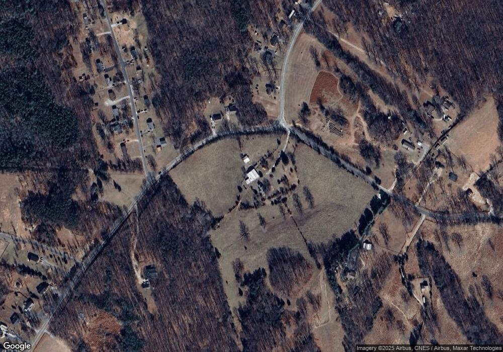
Map
Nearby Homes
- 107 Emory Way
- 126 Golf Course Trail
- 188 Dulwich Dr
- Lot 6 Fox Hall Dr
- 157-(Lot 8) Fox Hall Dr
- 0 Fox Hall Dr
- 365 Fox Hall Dr
- 85 Montfair Dr
- 1114 Old Stage Rd
- 199 Braxton Ridge Rd
- 206 Glenway Dr
- 224 Sunset Dr
- 260 N Main St
- 120 N Main St
- 176 N Main St
- 0 Earley Farm Rd
- Lot 6 Victoria Dr
- 0.50ac Lexington Turnpike
- 272 Eagle Rd
- 270 Ebenezer Rd
- 276 Ebenezer Rd
- 250 Ebenezer Rd
- 124 Cabell Ln
- 236 Ebenezer Rd
- 140 Cabell Ln
- 349 Ebenezer Rd
- 115 Cabell Ln
- 163 Buffalo Ridge Rd
- 230 Ebenezer Rd
- 346 Ebenezer Rd
- 133 Cabell Ln
- 148 Cabell Ln
- 222 Ebenezer Rd
- 139 Cabell Ln
- 158 Cabell Ln
- 216 Ebenezer Rd
- 143 Cabell Ln
- 215 Ebenezer Rd
- 151 Cabell Ln