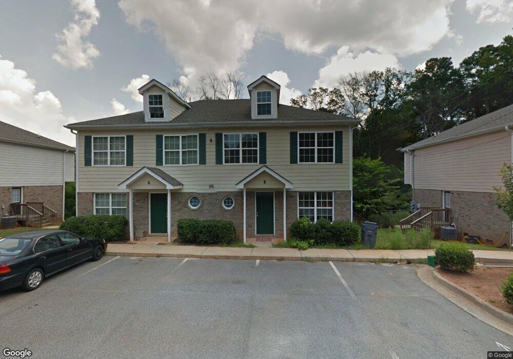
106 Cameron Way Unit B Social Circle, GA 30025
Estimated Value: $152,000 - $323,075
--
Bed
1
Bath
1,472
Sq Ft
$166/Sq Ft
Est. Value
About This Home
This home is located at 106 Cameron Way Unit B, Social Circle, GA 30025 and is currently estimated at $244,769, approximately $166 per square foot. 106 Cameron Way Unit B is a home located in Walton County with nearby schools including Social Circle Primary School, Social Circle Elementary School, and Social Circle Middle School.
Ownership History
Date
Name
Owned For
Owner Type
Purchase Details
Closed on
Jan 14, 2015
Sold by
Advanta Ira Administration Llc
Bought by
Childs John W and Childs Carol L
Current Estimated Value
Purchase Details
Closed on
Jun 24, 2010
Sold by
Federal Home Loan Mortgage Corporation
Bought by
Morton Bruce
Purchase Details
Closed on
Jan 14, 2009
Sold by
Jc Construction & Builders Llc
Bought by
Johnson Ayo
Home Financials for this Owner
Home Financials are based on the most recent Mortgage that was taken out on this home.
Original Mortgage
$252,000
Interest Rate
5.15%
Mortgage Type
New Conventional
Create a Home Valuation Report for This Property
The Home Valuation Report is an in-depth analysis detailing your home's value as well as a comparison with similar homes in the area
Home Values in the Area
Average Home Value in this Area
Purchase History
| Date | Buyer | Sale Price | Title Company |
|---|---|---|---|
| Childs John W | $126,000 | -- | |
| Morton Bruce | -- | -- | |
| Johnson Ayo | $315,000 | -- |
Source: Public Records
Mortgage History
| Date | Status | Borrower | Loan Amount |
|---|---|---|---|
| Previous Owner | Johnson Ayo | $252,000 |
Source: Public Records
Tax History Compared to Growth
Tax History
| Year | Tax Paid | Tax Assessment Tax Assessment Total Assessment is a certain percentage of the fair market value that is determined by local assessors to be the total taxable value of land and additions on the property. | Land | Improvement |
|---|---|---|---|---|
| 2024 | $1,629 | $45,800 | $2,760 | $43,040 |
| 2023 | $1,577 | $43,600 | $2,760 | $40,840 |
| 2022 | $414 | $39,720 | $2,760 | $36,960 |
| 2021 | $344 | $33,000 | $2,760 | $30,240 |
| 2020 | $339 | $31,760 | $2,760 | $29,000 |
| 2019 | $334 | $28,800 | $2,760 | $26,040 |
| 2018 | $314 | $28,800 | $2,760 | $26,040 |
| 2017 | $1,152 | $27,560 | $2,760 | $24,800 |
| 2016 | $286 | $25,240 | $2,760 | $22,480 |
| 2015 | $272 | $24,200 | $2,760 | $21,440 |
| 2014 | $182 | $15,360 | $0 | $0 |
Source: Public Records
Map
Nearby Homes
- 241 E Ash St
- 582 S Cherokee Rd
- Adrian Plan at Conner Springs
- Sinclair Plan at Conner Springs
- Shiloh Plan at Conner Springs
- Mira Plan at Conner Springs
- Hemingway Plan at Conner Springs
- Harding Plan at Conner Springs
- Tucker Front Porch Plan at Conner Springs
- 177 ORWELL Drive
- 432 Chestnut St
- 207 E Hightower Trail
- 603 Lakewood Dr SW
- 135 N Dogwood Ave
- 178 Elder Dr SE
- 178 Elder Dr SE Unit 103
- 159 S Forest Ave
- 127 Holly St NE
- 1249 Social Circle Pkwy
- 178 Orwell Dr
- 106 Cameron Way
- 106 Cameron Way Unit A
- 102 B Cameron Way
- 102 Cameron Way Unit B
- 102 Cameron Way Unit A
- 102 Cameron Way
- 110 Cameron Way Unit B
- 110 Cameron Way Unit A
- 110 Cameron Way
- 105 Cameron Way Unit A
- 105 Cameron Way Unit B
- 101 Cameron Way Unit A
- 101 Cameron Way Unit B
- 109 Cameron Way Unit A
- 109 Cameron Way Unit B
- 0 Ash St
- 0 Cameron Way Unit 8911587
- 201 Misty Ln Unit B
- 201 Misty Ln Unit A
- 201 Misty Ln