106 Channel View Unit 2 Warwick, RI 02889
Warwick Neck NeighborhoodEstimated Value: $742,000 - $815,000
3
Beds
4
Baths
2,370
Sq Ft
$322/Sq Ft
Est. Value
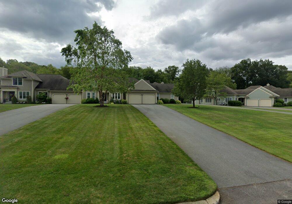
About This Home
This home is located at 106 Channel View Unit 2, Warwick, RI 02889 and is currently estimated at $763,204, approximately $322 per square foot. 106 Channel View Unit 2 is a home located in Kent County with nearby schools including Saint Kevin School and Bishop Hendricken High School.
Ownership History
Date
Name
Owned For
Owner Type
Purchase Details
Closed on
Jul 17, 2002
Sold by
Anglisea
Bought by
Ladouceur Edgar N and Ladouceur Deborah J
Current Estimated Value
Home Financials for this Owner
Home Financials are based on the most recent Mortgage that was taken out on this home.
Original Mortgage
$100,000
Interest Rate
6.73%
Purchase Details
Closed on
Nov 25, 1991
Sold by
Barbieri Joseph F
Bought by
Ladouceur Edgar N
Create a Home Valuation Report for This Property
The Home Valuation Report is an in-depth analysis detailing your home's value as well as a comparison with similar homes in the area
Home Values in the Area
Average Home Value in this Area
Purchase History
| Date | Buyer | Sale Price | Title Company |
|---|---|---|---|
| Ladouceur Edgar N | $363,500 | -- | |
| Ladouceur Edgar N | $170,000 | -- |
Source: Public Records
Mortgage History
| Date | Status | Borrower | Loan Amount |
|---|---|---|---|
| Open | Ladouceur Edgar N | $200,000 | |
| Closed | Ladouceur Edgar N | $100,000 | |
| Closed | Ladouceur Edgar N | $88,000 | |
| Closed | Ladouceur Edgar N | $100,000 |
Source: Public Records
Tax History Compared to Growth
Tax History
| Year | Tax Paid | Tax Assessment Tax Assessment Total Assessment is a certain percentage of the fair market value that is determined by local assessors to be the total taxable value of land and additions on the property. | Land | Improvement |
|---|---|---|---|---|
| 2025 | $8,993 | $708,100 | $0 | $708,100 |
| 2024 | $9,542 | $659,400 | $0 | $659,400 |
| 2023 | $9,357 | $659,400 | $0 | $659,400 |
| 2022 | $8,391 | $448,000 | $0 | $448,000 |
| 2021 | $8,391 | $448,000 | $0 | $448,000 |
| 2020 | $8,391 | $448,000 | $0 | $448,000 |
| 2019 | $8,391 | $448,000 | $0 | $448,000 |
| 2018 | $8,767 | $421,500 | $0 | $421,500 |
| 2017 | $8,531 | $421,500 | $0 | $421,500 |
| 2016 | $8,531 | $421,500 | $0 | $421,500 |
| 2015 | $8,761 | $422,200 | $0 | $422,200 |
| 2014 | $8,469 | $422,200 | $0 | $422,200 |
| 2013 | $8,355 | $422,200 | $0 | $422,200 |
Source: Public Records
Map
Nearby Homes
- 106 Channel View Unit 1
- 106 Channel View Unit 3
- 106 Channel View Unit 903
- 106 Channel View Unit 902
- 106 Channel View Unit 901
- 0 Channel View Unit 7202
- 0 Channel View Unit 611266
- 0 Channel View Unit 611336
- 0 Channel View Unit 611351
- 0 Channel View Unit 611270
- 0 Channel View Unit 611338
- 0 Channel View Unit 611343
- 0 Channel View Unit 611263
- 0 Channel View Unit 306732
- 0 Channel View Unit 843729
- 0 Channel View Unit 1225487
- 0 Channel View Unit 1257477
- 106 Channel View Dr Unit 106A
- 106 Channel View Dr Unit 3
- 102 Channel Unit 102