Estimated Value: $217,000 - $282,000
3
Beds
3
Baths
2,373
Sq Ft
$105/Sq Ft
Est. Value
About This Home
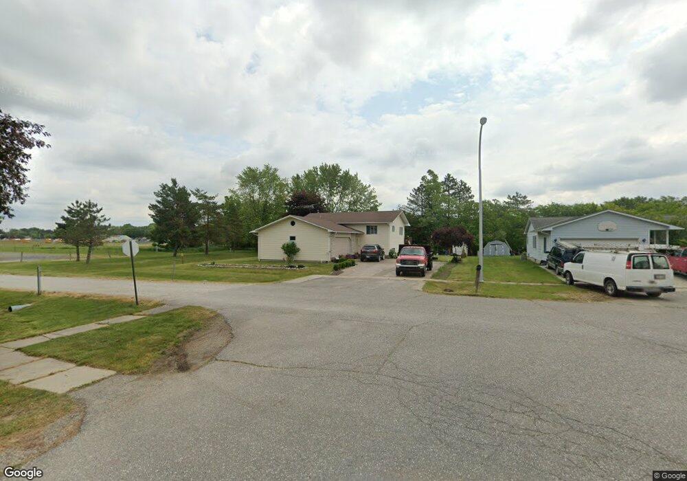
This home is located at 106 Charles St, Capac, MI 48014 and is currently estimated at $248,625, approximately $104 per square foot. 106 Charles St is a home located in St. Clair County with nearby schools including Capac Elementary School and Capac Jr./Sr. High School.
Ownership History
Date
Name
Owned For
Owner Type
Purchase Details
Closed on
Nov 15, 2011
Sold by
Dedenbach James R and Dedenbach Venus L
Bought by
Zuniga Noe and Hernandez Maria A
Current Estimated Value
Home Financials for this Owner
Home Financials are based on the most recent Mortgage that was taken out on this home.
Original Mortgage
$66,276
Outstanding Balance
$45,951
Interest Rate
4.37%
Mortgage Type
FHA
Estimated Equity
$202,674
Purchase Details
Closed on
Sep 1, 2011
Sold by
Dedenbach James R and Dedenbach Venus L
Bought by
Jpmorgan Chase Bank Na
Purchase Details
Closed on
Apr 13, 2006
Sold by
Closurdo Vincent D and Closurdo Christiana M
Bought by
Dedenbach James R and Dedenbach Venus L
Home Financials for this Owner
Home Financials are based on the most recent Mortgage that was taken out on this home.
Original Mortgage
$174,000
Interest Rate
6.34%
Mortgage Type
New Conventional
Create a Home Valuation Report for This Property
The Home Valuation Report is an in-depth analysis detailing your home's value as well as a comparison with similar homes in the area
Home Values in the Area
Average Home Value in this Area
Purchase History
| Date | Buyer | Sale Price | Title Company |
|---|---|---|---|
| Zuniga Noe | -- | None Available | |
| Jpmorgan Chase Bank Na | $55,250 | None Available | |
| Dedenbach James R | $165,500 | Blue Water Title Company |
Source: Public Records
Mortgage History
| Date | Status | Borrower | Loan Amount |
|---|---|---|---|
| Open | Zuniga Noe | $66,276 | |
| Previous Owner | Dedenbach James R | $174,000 |
Source: Public Records
Tax History
| Year | Tax Paid | Tax Assessment Tax Assessment Total Assessment is a certain percentage of the fair market value that is determined by local assessors to be the total taxable value of land and additions on the property. | Land | Improvement |
|---|---|---|---|---|
| 2025 | $1,826 | $126,000 | $0 | $0 |
| 2024 | $1,747 | $120,900 | $0 | $0 |
| 2023 | $1,446 | $115,300 | $0 | $0 |
| 2022 | $1,617 | $103,300 | $0 | $0 |
| 2020 | $2,395 | $92,600 | $92,600 | $0 |
| 2019 | $2,351 | $80,200 | $0 | $0 |
| 2018 | $1,689 | $70,300 | $0 | $0 |
| 2016 | $841 | $63,300 | $0 | $0 |
| 2015 | -- | $57,700 | $57,700 | $0 |
| 2014 | -- | $52,500 | $52,500 | $0 |
| 2013 | -- | $61,500 | $0 | $0 |
Source: Public Records
Map
Nearby Homes
- 209 W Aldrich St
- 530 N Glassford St
- 303 E Mill St
- 0 Capac Rd Unit 216015459
- 3283 Capac Rd
- 15594 Bryce Rd
- 39 W Deer Park S
- 0 W Park (Lot 8) St Unit 50175949
- 15289 Imlay City Rd
- 1 Putt-R Dr Putt-R Dr
- 15272 Imlay City Rd
- VL E. DONALD Donald Rd
- V L 19 03 Wade Rd
- V/L 19.01A Wade Rd
- 0 Wade Rd
- 15756 Lewis Rd
- 0 Nettney Rd Unit 50185355
- PARCEL G Burt Rd
- PARCEL C Burt Rd
- PARCEL F Sharrard Rd
- 104 Charles St
- 515 William g Dr
- 102 Charles St
- 517 William g Dr
- 415 W Mill St
- 518 William g Dr
- 100 Charles St
- 101 Charles St
- 519 William g Dr
- 107 N Matteson St
- 109 N Matteson St
- 520 William g Dr
- 517 W Mill St
- 521 William g Dr
- 522 William g Dr
- 506 W Mill St
- 403 W Mill St
- 403 W Mill St
- 523 William g Dr
- 522 W Mill St
Your Personal Tour Guide
Ask me questions while you tour the home.