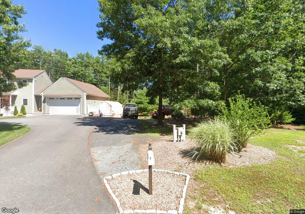
106 Clapp Rd Rochester, MA 02770
Estimated Value: $1,182,000 - $1,802,741
4
Beds
3
Baths
5,642
Sq Ft
$258/Sq Ft
Est. Value
About This Home
This home is located at 106 Clapp Rd, Rochester, MA 02770 and is currently estimated at $1,455,435, approximately $257 per square foot. 106 Clapp Rd is a home with nearby schools including Rochester Memorial School and Old Rochester Regional High School.
Ownership History
Date
Name
Owned For
Owner Type
Purchase Details
Closed on
Apr 9, 2013
Sold by
Baptiste Rebecca
Bought by
Davenport Rebecca B
Current Estimated Value
Home Financials for this Owner
Home Financials are based on the most recent Mortgage that was taken out on this home.
Original Mortgage
$581,500
Outstanding Balance
$412,498
Interest Rate
3.58%
Mortgage Type
Purchase Money Mortgage
Estimated Equity
$1,042,937
Purchase Details
Closed on
Oct 15, 2009
Sold by
Baptiste Louis and Baptiste Rosalie
Bought by
Baptiste Rebecca
Create a Home Valuation Report for This Property
The Home Valuation Report is an in-depth analysis detailing your home's value as well as a comparison with similar homes in the area
Home Values in the Area
Average Home Value in this Area
Purchase History
| Date | Buyer | Sale Price | Title Company |
|---|---|---|---|
| Davenport Rebecca B | -- | -- | |
| Baptiste Rebecca | -- | -- |
Source: Public Records
Mortgage History
| Date | Status | Borrower | Loan Amount |
|---|---|---|---|
| Open | Davenport Rebecca B | $581,500 | |
| Previous Owner | Baptiste Rebecca | $580,000 | |
| Previous Owner | Baptiste Rebecca | $417,000 |
Source: Public Records
Tax History Compared to Growth
Tax History
| Year | Tax Paid | Tax Assessment Tax Assessment Total Assessment is a certain percentage of the fair market value that is determined by local assessors to be the total taxable value of land and additions on the property. | Land | Improvement |
|---|---|---|---|---|
| 2025 | $15,951 | $1,474,200 | $256,900 | $1,217,300 |
| 2024 | $15,496 | $1,401,100 | $228,100 | $1,173,000 |
| 2023 | $15,160 | $1,277,200 | $228,100 | $1,049,100 |
| 2022 | $13,359 | $1,048,600 | $271,000 | $777,600 |
| 2021 | $12,846 | $960,800 | $245,600 | $715,200 |
| 2020 | $12,535 | $929,900 | $238,000 | $691,900 |
| 2019 | $12,370 | $883,600 | $226,900 | $656,700 |
| 2018 | $11,979 | $849,000 | $209,900 | $639,100 |
| 2017 | $10,896 | $757,200 | $194,000 | $563,200 |
| 2016 | $10,866 | $775,600 | $193,800 | $581,800 |
| 2015 | $10,164 | $722,400 | $193,800 | $528,600 |
| 2014 | $9,879 | $713,300 | $188,600 | $524,700 |
Source: Public Records
Map
Nearby Homes
- 19 Sarahbeth Ln Unit 27
- 4 Sarahbeth Ln Unit 1
- 4 Hayley Cir
- 2 Hayley Cir
- 9 Hathaway Pond Cir
- 57 Hathaway Pond Cir Unit 57
- 0-A3 Marys Pond Rd
- 0-A4 Marys Pond Rd
- 170 Dexter Ln
- 1-3 Doctor Hickey Ln
- 291 County Rd
- 82 Pierce St
- 127 County Rd
- 119 County Rd
- 9 Mayflower Ln
- 31 Cross Rd
- 15 Cross Rd
- 709 Walnut Plain Rd
- 1 Rounseville Rd
- 0 Rounseville Rd
- 45 Williams Way
- 55 Williams Way
- 33 Williams Way
- 7 Earls Ct
- 65 Williams Way
- 8 Earls Ct
- 25 Williams Way
- 66 Williams Way
- 26 Williams Way
- 75 Williams Way
- 132 Clapp Rd
- 15 Williams Way
- 16 Earls Ct
- 76 Williams Way
- 19 Earls Ct
- 143 Walnut Plain Rd
- 151 Walnut Plain Rd
- 133 Walnut Plain Rd
- 165 Walnut Plain Rd
- 83 Williams Way