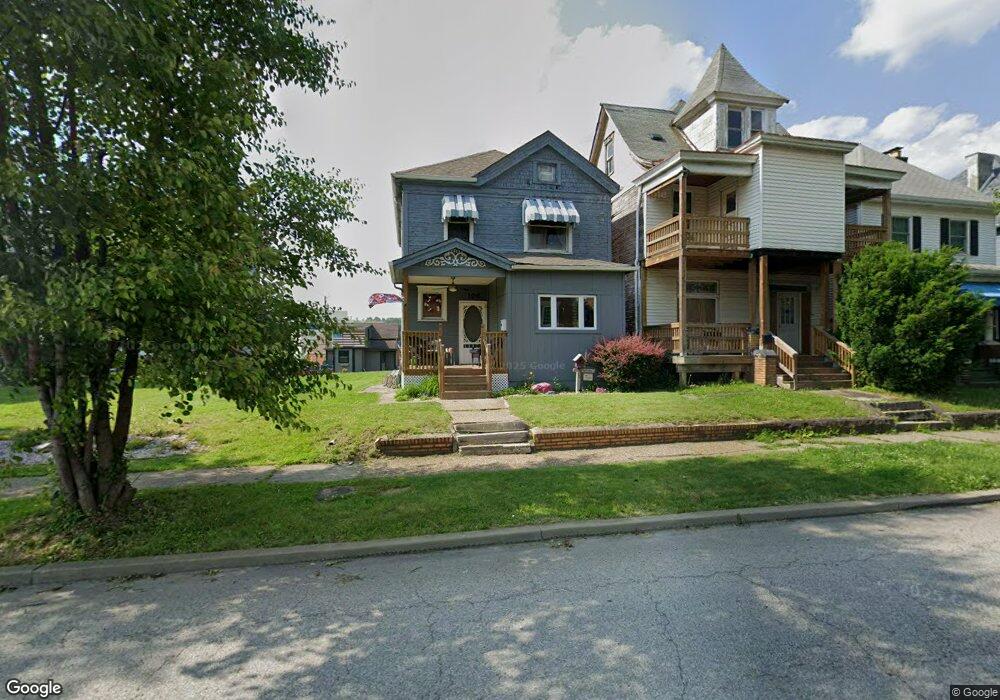
106 Custer Ave Unit A Vandergrift, PA 15690
Estimated Value: $75,000 - $92,162
Studio
--
Bath
1,354
Sq Ft
$64/Sq Ft
Est. Value
About This Home
This home is located at 106 Custer Ave Unit A, Vandergrift, PA 15690 and is currently estimated at $86,791, approximately $64 per square foot. 106 Custer Ave Unit A is a home located in Westmoreland County with nearby schools including Kiski Area High School.
Ownership History
Date
Name
Owned For
Owner Type
Purchase Details
Closed on
Dec 5, 2003
Sold by
Husarik John M
Bought by
Troup Timothy T and Troup Stacey L
Current Estimated Value
Home Financials for this Owner
Home Financials are based on the most recent Mortgage that was taken out on this home.
Original Mortgage
$50,000
Outstanding Balance
$28,588
Interest Rate
9.37%
Mortgage Type
Purchase Money Mortgage
Estimated Equity
$58,203
Purchase Details
Closed on
Apr 29, 2003
Sold by
Husarik John M and Cibik Amber D
Bought by
Husarik John M
Create a Home Valuation Report for This Property
The Home Valuation Report is an in-depth analysis detailing your home's value as well as a comparison with similar homes in the area
Home Values in the Area
Average Home Value in this Area
Purchase History
| Date | Buyer | Sale Price | Title Company |
|---|---|---|---|
| Troup Timothy T | $29,000 | -- | |
| Husarik John M | -- | -- |
Source: Public Records
Mortgage History
| Date | Status | Borrower | Loan Amount |
|---|---|---|---|
| Open | Troup Timothy T | $50,000 |
Source: Public Records
Tax History
| Year | Tax Paid | Tax Assessment Tax Assessment Total Assessment is a certain percentage of the fair market value that is determined by local assessors to be the total taxable value of land and additions on the property. | Land | Improvement |
|---|---|---|---|---|
| 2025 | $1,392 | $8,530 | $1,670 | $6,860 |
| 2024 | $1,326 | $8,530 | $1,670 | $6,860 |
| 2023 | $1,220 | $8,530 | $1,670 | $6,860 |
| 2022 | $1,195 | $8,530 | $1,670 | $6,860 |
| 2021 | $1,195 | $8,530 | $1,670 | $6,860 |
| 2020 | $1,192 | $8,530 | $1,670 | $6,860 |
| 2019 | $1,188 | $8,530 | $1,670 | $6,860 |
| 2018 | $1,171 | $8,530 | $1,670 | $6,860 |
| 2017 | $1,145 | $8,530 | $1,670 | $6,860 |
| 2016 | $1,130 | $8,530 | $1,670 | $6,860 |
| 2015 | $1,130 | $8,530 | $1,670 | $6,860 |
| 2014 | $1,124 | $8,530 | $1,670 | $6,860 |
Source: Public Records
Map
Nearby Homes
- 109 Washington Ave
- 109 E Adams Ave
- 166 Grant Ave
- 112 Farragut Ave Unit 3
- 133 Sherman Ave
- 137 Sherman Ave
- 121 Hamilton Ave
- 322 Chestnut St
- 311 Elm St
- 419 Vandergrift Ln
- 219 Quay St
- 225 Mckinley Ave
- 1252 Jefferson St
- 247 Sherman Ave
- 324 Beech St
- 309 Beech St
- 702 Mckinley Ave
- 608 Kennedy Ave
- 325 Walnut St
- 517 Sycamore St
- 108 Custer Ave
- 104 Custer Ave
- 110 Custer Ave
- 102 Custer Ave
- 112 Custer Ave
- 100 Custer Ave Unit BLK13
- 114 Custer Ave
- 335 Custer Ave
- 116 Custer Ave
- 156 Washington Ave
- 118 Custer Ave
- 107 Custer Ave
- 120 Custer Ave
- 105 Custer Ave
- 122 Custer Ave
- 101 Custer Ave
- 124 Custer Ave
- 200 Hancock Ave Unit 202
- 138 Washington Ave
- 201 Hancock Ave
Your Personal Tour Guide
Ask me questions while you tour the home.