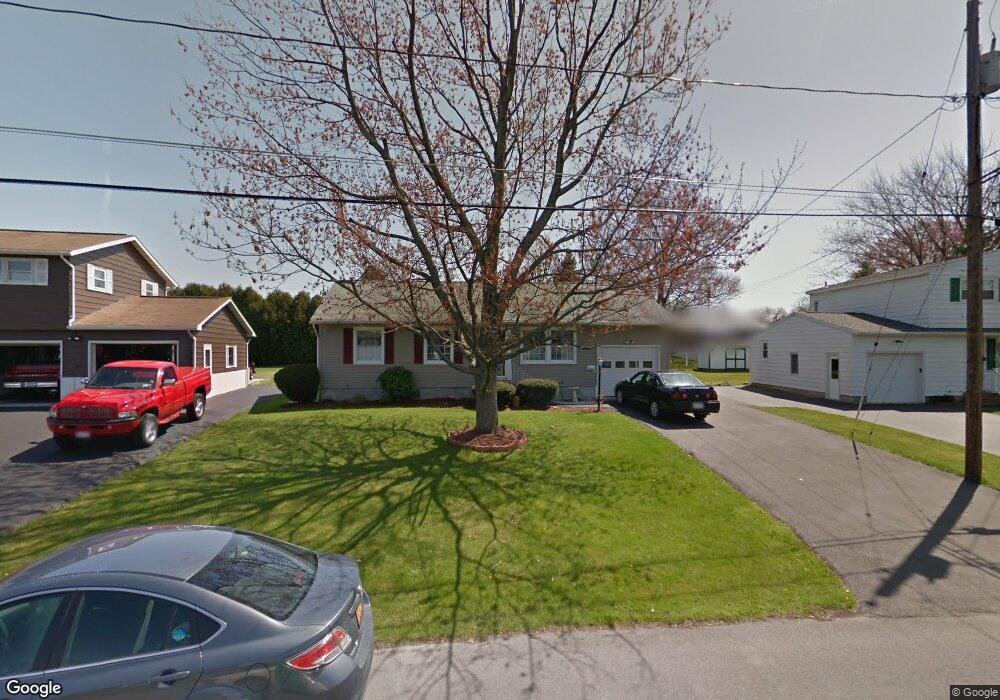
106 Daniel Dr Liverpool, NY 13088
Estimated Value: $189,000 - $208,895
2
Beds
1
Bath
1,136
Sq Ft
$176/Sq Ft
Est. Value
About This Home
This home is located at 106 Daniel Dr, Liverpool, NY 13088 and is currently estimated at $199,474, approximately $175 per square foot. 106 Daniel Dr is a home located in Onondaga County with nearby schools including Liverpool Elementary School, Long Branch Elementary School, and Liverpool Middle School.
Ownership History
Date
Name
Owned For
Owner Type
Purchase Details
Closed on
Dec 8, 2021
Sold by
Daucher Robert C and Daucher Deborah L
Bought by
Hunter Linda
Current Estimated Value
Home Financials for this Owner
Home Financials are based on the most recent Mortgage that was taken out on this home.
Original Mortgage
$50,000
Interest Rate
3.76%
Mortgage Type
Purchase Money Mortgage
Purchase Details
Closed on
Feb 12, 2021
Sold by
Daucher Robert C and Daucher Deborah L
Bought by
Daucher Robert C and Daucher Deborah L
Purchase Details
Closed on
Oct 20, 1997
Create a Home Valuation Report for This Property
The Home Valuation Report is an in-depth analysis detailing your home's value as well as a comparison with similar homes in the area
Purchase History
| Date | Buyer | Sale Price | Title Company |
|---|---|---|---|
| Hunter Linda | $120,000 | None Available | |
| Hunter Linda | $120,000 | None Available | |
| Daucher Robert C | -- | None Available | |
| Daucher Robert C | -- | None Available | |
| -- | -- | -- | |
| -- | -- | -- |
Source: Public Records
Mortgage History
| Date | Status | Borrower | Loan Amount |
|---|---|---|---|
| Previous Owner | Hunter Linda | $50,000 |
Source: Public Records
Tax History
| Year | Tax Paid | Tax Assessment Tax Assessment Total Assessment is a certain percentage of the fair market value that is determined by local assessors to be the total taxable value of land and additions on the property. | Land | Improvement |
|---|---|---|---|---|
| 2024 | $5,352 | $125,000 | $16,000 | $109,000 |
| 2023 | $5,130 | $125,000 | $16,000 | $109,000 |
| 2022 | $4,996 | $125,000 | $16,000 | $109,000 |
| 2021 | $4,859 | $110,600 | $16,000 | $94,600 |
| 2020 | $4,743 | $102,400 | $16,000 | $86,400 |
| 2019 | $1,986 | $97,500 | $16,000 | $81,500 |
| 2018 | $4,789 | $97,500 | $16,000 | $81,500 |
| 2017 | $1,827 | $97,500 | $16,000 | $81,500 |
| 2016 | $4,587 | $97,500 | $16,000 | $81,500 |
| 2015 | -- | $97,500 | $16,000 | $81,500 |
| 2014 | -- | $97,500 | $16,000 | $81,500 |
Source: Public Records
Map
Nearby Homes
- 110 Longwood Dr
- 203 Chestnut Hill Dr
- 412 Sunflower Dr
- 120 Brookview Ln
- 655 Sunflower Dr
- 117 Saslon Park Dr
- 723 7th North St
- 107 Hazel St
- 4873 Thornwood Dr
- 120 Vincent Ave
- 4901 Driftwood Dr
- 705 7th North St
- 413 Volney Dr
- 220 Pleasantview Dr
- 4867 Driftwood Dr
- 104 Tamarack St
- 253 Fairmount Ave
- 4857 Driftwood Dr
- 4858 Driftwood Dr
- 107 Libby St
- 104 Daniel Dr
- 108 Daniel Dr
- 415 Electronics Pkwy
- 413 Electronics Pkwy
- 102 Daniel Dr
- 110 Daniel Dr
- 411 Electronics Pkwy
- 203 Daniel Dr
- 100 Joel Ave
- 409 Electronics Pkwy
- 100 Daniel Dr
- 205 Daniel Dr
- 112 Daniel Dr
- 407 Electronics Pkwy
- 102 Joel Ave
- 109 Daniel Dr
- 103 Aldenwood Dr
- 114 Daniel Dr
- 103 Joel Ave
- 104 Joel Ave
Your Personal Tour Guide
Ask me questions while you tour the home.