Estimated Value: $350,000 - $401,000
4
Beds
3
Baths
69
Sq Ft
$5,486/Sq Ft
Est. Value
About This Home
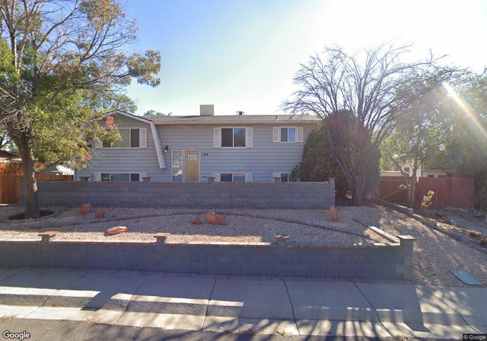
This home is located at 106 Date St, Page, AZ 86040 and is currently estimated at $378,531, approximately $5,485 per square foot. 106 Date St is a home located in Coconino County with nearby schools including Desert View Elementary Intermediate School, Lake View Elementary Primary School, and Page Middle School.
Ownership History
Date
Name
Owned For
Owner Type
Purchase Details
Closed on
Mar 31, 2017
Sold by
Wiltens Roy A
Bought by
The Roy A Wiltens Living Trust
Current Estimated Value
Purchase Details
Closed on
Dec 13, 2016
Sold by
Wells Fargo Financial Arizona Inc
Bought by
Wiltens Roy A
Purchase Details
Closed on
May 23, 2016
Sold by
Wilson Bethane and Wilson Jeffrey Wallace
Bought by
Wells Fargo Financial Arizona Inc
Purchase Details
Closed on
Oct 17, 2005
Sold by
Beranek George
Bought by
Wilson Jeffrey Wallace and Wilson Bethanne
Home Financials for this Owner
Home Financials are based on the most recent Mortgage that was taken out on this home.
Original Mortgage
$142,400
Interest Rate
7.5%
Mortgage Type
New Conventional
Purchase Details
Closed on
Aug 10, 1995
Sold by
Beranek Pearl L
Bought by
Beranek George L
Create a Home Valuation Report for This Property
The Home Valuation Report is an in-depth analysis detailing your home's value as well as a comparison with similar homes in the area
Home Values in the Area
Average Home Value in this Area
Purchase History
| Date | Buyer | Sale Price | Title Company |
|---|---|---|---|
| The Roy A Wiltens Living Trust | -- | None Available | |
| Wiltens Roy A | -- | None Available | |
| Wells Fargo Financial Arizona Inc | $167,335 | Title 365 | |
| Wilson Jeffrey Wallace | $175,500 | First American Title Ins Co | |
| Beranek George L | -- | First American Title |
Source: Public Records
Mortgage History
| Date | Status | Borrower | Loan Amount |
|---|---|---|---|
| Previous Owner | Wilson Jeffrey Wallace | $142,400 | |
| Closed | Wilson Jeffrey Wallace | $35,600 |
Source: Public Records
Tax History Compared to Growth
Tax History
| Year | Tax Paid | Tax Assessment Tax Assessment Total Assessment is a certain percentage of the fair market value that is determined by local assessors to be the total taxable value of land and additions on the property. | Land | Improvement |
|---|---|---|---|---|
| 2025 | $1,711 | $27,721 | -- | -- |
| 2024 | $1,711 | $29,904 | -- | -- |
| 2023 | $2,185 | $26,011 | $0 | $0 |
| 2022 | $1,556 | $23,461 | $0 | $0 |
| 2021 | $1,732 | $20,745 | $0 | $0 |
| 2020 | $1,398 | $19,180 | $0 | $0 |
| 2019 | $1,352 | $18,755 | $0 | $0 |
| 2018 | $1,342 | $17,261 | $0 | $0 |
| 2017 | $1,276 | $16,480 | $0 | $0 |
| 2016 | $1,287 | $17,071 | $0 | $0 |
| 2015 | $980 | $17,123 | $0 | $0 |
Source: Public Records
Map
Nearby Homes
- 2 Echo Ct
- 22 Sunset St Unit 22
- 57 Aero Ave
- 134 Calle Hermosa
- 39 W Jerome St
- 8.35 Acres S Parcel Rainbow Dr
- 265 Myrtle Dr
- 451 Ticaboo Canyon Dr Unit 33
- 461 Ticaboo Canyon Dr Unit 34
- 142 Bryce Canyon Dr
- 12 Sumner Cove
- 152 Bryce Canyon Dr
- 30 Tek Ct
- 130 Tek Ct Unit 95
- 665 N Anasazi Dr Unit Lot 19
- 142 Dunn Dr
- 1334 E Rock Ledge Ln
- 1260 Patrick Henry Ct
- 1140 Independence
- 1140 S Independence Dr