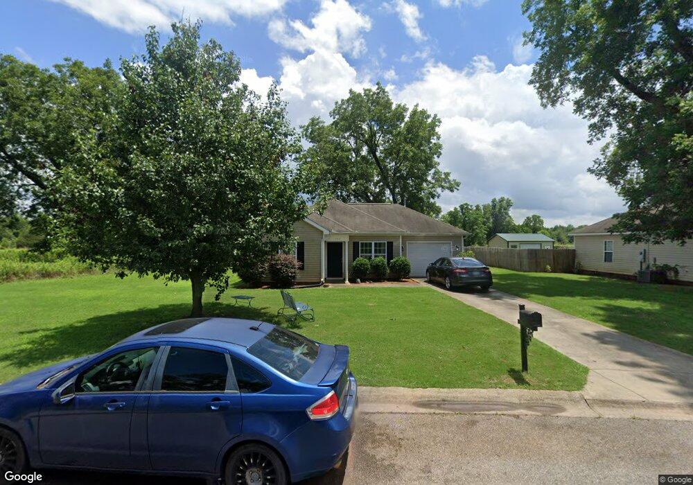
106 Deneen Dr Fort Valley, GA 31030
Estimated Value: $156,000 - $192,000
3
Beds
2
Baths
1,260
Sq Ft
$132/Sq Ft
Est. Value
About This Home
This home is located at 106 Deneen Dr, Fort Valley, GA 31030 and is currently estimated at $166,222, approximately $131 per square foot. 106 Deneen Dr is a home located in Peach County with nearby schools including Kay Road Elementary School, Fort Valley Middle School, and Peach County High School.
Ownership History
Date
Name
Owned For
Owner Type
Purchase Details
Closed on
Oct 14, 2011
Sold by
Branch Banking & Trust Company
Bought by
Mitchell Terry and Mitchell Jacqueline
Current Estimated Value
Home Financials for this Owner
Home Financials are based on the most recent Mortgage that was taken out on this home.
Original Mortgage
$48,000
Outstanding Balance
$32,832
Interest Rate
4.16%
Mortgage Type
New Conventional
Estimated Equity
$133,390
Purchase Details
Closed on
Jan 18, 2011
Sold by
Branch Banking & Trust Company
Bought by
Branch Banking & Trust Company
Purchase Details
Closed on
Dec 4, 2007
Sold by
Custom Homes By Michele In
Bought by
Sims Stuart Edgar
Purchase Details
Closed on
Nov 19, 2007
Sold by
Hwy 49 Llc
Bought by
Custom Homes By Michele Inc
Purchase Details
Closed on
Mar 16, 2005
Bought by
Hwy 49 Llc
Create a Home Valuation Report for This Property
The Home Valuation Report is an in-depth analysis detailing your home's value as well as a comparison with similar homes in the area
Home Values in the Area
Average Home Value in this Area
Purchase History
| Date | Buyer | Sale Price | Title Company |
|---|---|---|---|
| Mitchell Terry | -- | -- | |
| Branch Banking & Trust Company | -- | -- | |
| Sims Stuart Edgar | $103,330 | -- | |
| Custom Homes By Michele Inc | $494,000 | -- | |
| Hwy 49 Llc | -- | -- |
Source: Public Records
Mortgage History
| Date | Status | Borrower | Loan Amount |
|---|---|---|---|
| Open | Mitchell Terry | $48,000 |
Source: Public Records
Tax History Compared to Growth
Tax History
| Year | Tax Paid | Tax Assessment Tax Assessment Total Assessment is a certain percentage of the fair market value that is determined by local assessors to be the total taxable value of land and additions on the property. | Land | Improvement |
|---|---|---|---|---|
| 2024 | $2,646 | $63,480 | $5,000 | $58,480 |
| 2023 | $2,237 | $53,360 | $4,080 | $49,280 |
| 2022 | $1,347 | $50,040 | $4,080 | $45,960 |
| 2021 | $1,675 | $35,080 | $4,000 | $31,080 |
| 2020 | $1,592 | $34,440 | $4,000 | $30,440 |
| 2019 | $1,597 | $34,440 | $4,000 | $30,440 |
| 2018 | $1,603 | $34,440 | $4,000 | $30,440 |
| 2017 | $1,500 | $34,440 | $4,000 | $30,440 |
| 2016 | $1,676 | $38,600 | $4,000 | $34,600 |
| 2015 | $1,220 | $38,600 | $4,000 | $34,600 |
| 2014 | $1,222 | $38,600 | $4,000 | $34,600 |
| 2013 | -- | $42,000 | $7,400 | $34,600 |
Source: Public Records
Map
Nearby Homes
- 120 Jamie Ct
- LOT 10 Taylors Mill Rd
- Lot 7 & 8 Taylors Mill Rd
- 1598 N Taylor Mills Roads
- 0 Tyler Ct Unit 10661012
- 0 Tyler Ct Unit 257881
- 403 Vienna St Unit 8
- 507 Burnett St
- 108 Vienna St
- 509 Anderson Ave
- 805 E Church St
- 209 Valley Dr
- 701 E Church St
- 412 Walden St
- 203 Vienna Cir
- 502 Peachtree St
- 0 Hwy 341 Unit 256842
- 514 Hinton St
- 2690 E Lawson Merritt Rd
- 209 Calhoun St
- 54 Heritage Pointe S D
- 104 Deneen Dr
- 102 Deneen Dr
- 41 Heritage Pointe S D
- 0 Jamie Ct Unit 7019484
- 0 Jamie Ct Unit 7019480
- 0 Jamie Ct Unit 7019482
- 0 Jamie Ct Unit 7019476
- 0 Jamie Ct Unit 7019473
- 0 Jamie Ct Unit 7019471
- 0 Jamie Ct Unit 7019469
- 0 Jamie Ct Unit 7019369
- 0 Jamie Ct Unit 7019361
- 0 Jamie Ct Unit 7019362
- 0 Jamie Ct Unit 7019356
- 0 Jamie Ct Unit 7019342
- 0 Jamie Ct Unit 3201335
- 0 Jamie Ct Unit 3201333
- 0 Jamie Ct Unit 3201330
- 0 Jamie Ct Unit 3201324