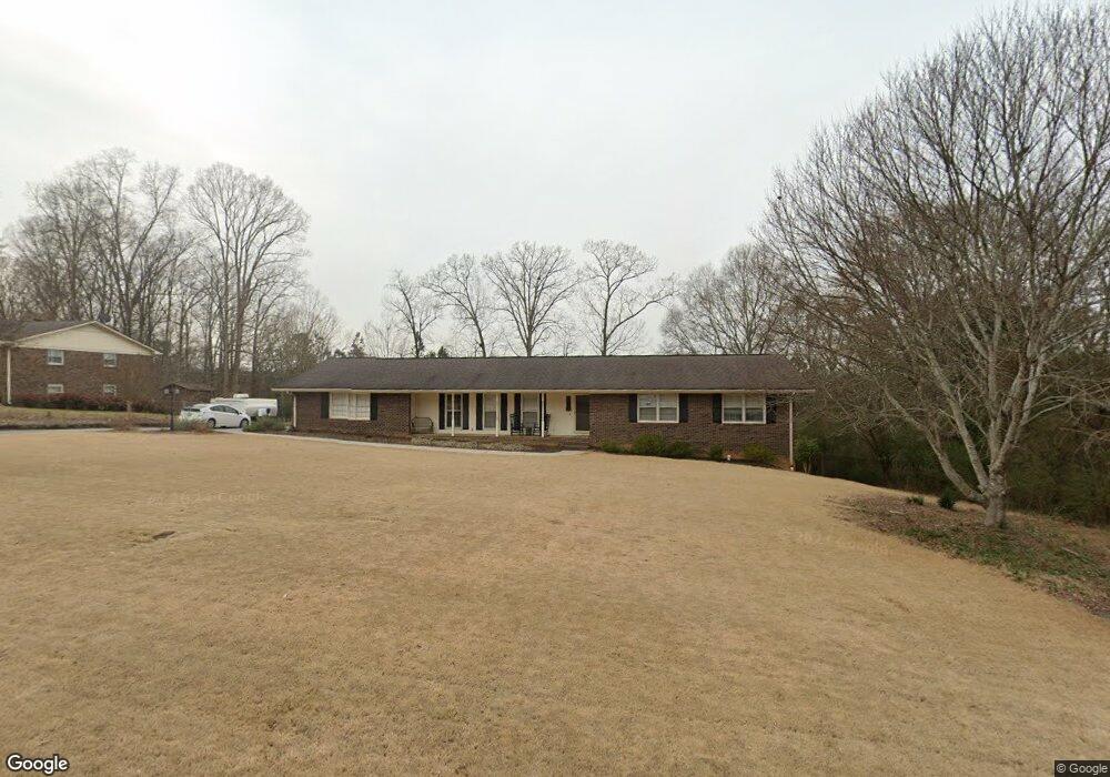
106 Devonwood Dr Calhoun, GA 30701
Estimated Value: $377,000 - $432,000
4
Beds
2
Baths
3,152
Sq Ft
$128/Sq Ft
Est. Value
About This Home
This home is located at 106 Devonwood Dr, Calhoun, GA 30701 and is currently estimated at $403,791, approximately $128 per square foot. 106 Devonwood Dr is a home located in Gordon County with nearby schools including Calhoun Elementary School, Calhoun Middle School, and Calhoun High School.
Ownership History
Date
Name
Owned For
Owner Type
Purchase Details
Closed on
Apr 3, 2020
Sold by
Burdette Rhonda S
Bought by
Gable Bradford W and Gable Adrienne C
Current Estimated Value
Home Financials for this Owner
Home Financials are based on the most recent Mortgage that was taken out on this home.
Original Mortgage
$219,000
Outstanding Balance
$191,097
Interest Rate
3.2%
Mortgage Type
New Conventional
Estimated Equity
$212,694
Purchase Details
Closed on
Aug 12, 2016
Sold by
Burdette William B
Bought by
Burdette Rhonda S
Purchase Details
Closed on
May 24, 1996
Bought by
Burdette William Brent
Create a Home Valuation Report for This Property
The Home Valuation Report is an in-depth analysis detailing your home's value as well as a comparison with similar homes in the area
Purchase History
| Date | Buyer | Sale Price | Title Company |
|---|---|---|---|
| Gable Bradford W | $219,000 | -- | |
| Burdette Rhonda S | $55,000 | -- | |
| Burdette William Brent | $110,000 | -- |
Source: Public Records
Mortgage History
| Date | Status | Borrower | Loan Amount |
|---|---|---|---|
| Open | Gable Bradford W | $219,000 |
Source: Public Records
Tax History
| Year | Tax Paid | Tax Assessment Tax Assessment Total Assessment is a certain percentage of the fair market value that is determined by local assessors to be the total taxable value of land and additions on the property. | Land | Improvement |
|---|---|---|---|---|
| 2025 | $3,542 | $144,480 | $5,600 | $138,880 |
| 2023 | $3,262 | $116,028 | $5,600 | $110,428 |
| 2022 | $1,028 | $107,988 | $5,600 | $102,388 |
| 2021 | $2,608 | $88,028 | $5,600 | $82,428 |
| 2020 | $1,893 | $63,708 | $5,600 | $58,108 |
| 2019 | $1,890 | $63,708 | $5,600 | $58,108 |
| 2018 | $548 | $58,928 | $5,600 | $53,328 |
| 2017 | $527 | $55,608 | $5,600 | $50,008 |
| 2016 | $528 | $55,608 | $5,600 | $50,008 |
| 2015 | $524 | $54,488 | $5,600 | $48,888 |
| 2014 | $501 | $52,851 | $5,600 | $47,251 |
Source: Public Records
Map
Nearby Homes
- 115 Devonwood Dr
- 115 Windsor Dr
- 114 Lindsey Ct NE
- 127 Windsor Dr
- 136 Meadow Ln
- 215 NW Briar Ridge Rd
- 140 Cambridge Ct
- 103 Mims Dr
- 129 Derby Ln
- 301 Briarwood Dr
- 118 Garden Lake Dr
- 121 Hunt Dr
- 201 Crestmont Dr
- 301 Windy Hill Dr
- 154 Millers Ln
- 123 Waterside Ridge
- 147 Millers Ln
- 326 Curtis Pkwy NE
- 110 Waterside Ridge
- 135 Millers Ln
- 108 Devonwood Dr
- 103 Devonwood Dr
- 105 Devonwood Dr
- 705 Red Bud Rd NE
- 705 Red Bud Rd NE Unit A
- 110 Devonwood Dr
- 107 Devonwood Dr
- 610 Red Bud Rd NE
- 106 Windsor Dr
- 102 Windsor Dr
- 108 Windsor Dr
- 122 Barrett Ln
- 122 Barrett Ln
- 655 Red Bud Rd NE
- 112 Devonwood Dr
- 670 Red Bud Rd NE
- 153 Barrett Ln
- 110 Windsor Dr
- 109 Devonwood Dr
- 120 Barrett Rd
Your Personal Tour Guide
Ask me questions while you tour the home.