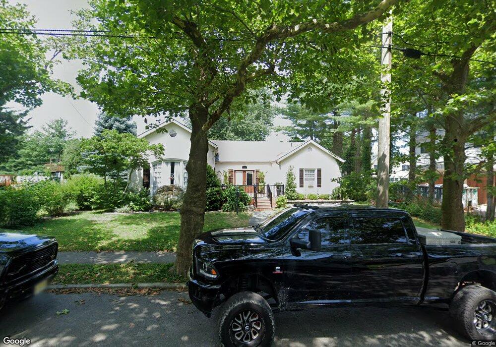
106 E Devonshire Ave Linwood, NJ 08221
Estimated Value: $569,000 - $713,000
Studio
--
Bath
2,132
Sq Ft
$289/Sq Ft
Est. Value
About This Home
This home is located at 106 E Devonshire Ave, Linwood, NJ 08221 and is currently estimated at $615,355, approximately $288 per square foot. 106 E Devonshire Ave is a home located in Atlantic County with nearby schools including Seaview Elementary School, Belhaven Middle School, and Mainland Regional High School.
Ownership History
Date
Name
Owned For
Owner Type
Purchase Details
Closed on
Sep 4, 2018
Sold by
Young Barbara
Bought by
Tighe Colleen Marie and Kaufelds Kramer Jodrdan
Current Estimated Value
Home Financials for this Owner
Home Financials are based on the most recent Mortgage that was taken out on this home.
Original Mortgage
$274,811
Outstanding Balance
$239,673
Interest Rate
4.6%
Mortgage Type
VA
Estimated Equity
$375,682
Purchase Details
Closed on
Apr 22, 1993
Sold by
Dick F Justin
Bought by
Stein Gary and Stein Cynthia
Create a Home Valuation Report for This Property
The Home Valuation Report is an in-depth analysis detailing your home's value as well as a comparison with similar homes in the area
Home Values in the Area
Average Home Value in this Area
Purchase History
| Date | Buyer | Sale Price | Title Company |
|---|---|---|---|
| Tighe Colleen Marie | $285,000 | Agents Title Llc | |
| Stein Gary | $147,000 | -- |
Source: Public Records
Mortgage History
| Date | Status | Borrower | Loan Amount |
|---|---|---|---|
| Open | Tighe Colleen Marie | $274,811 |
Source: Public Records
Tax History
| Year | Tax Paid | Tax Assessment Tax Assessment Total Assessment is a certain percentage of the fair market value that is determined by local assessors to be the total taxable value of land and additions on the property. | Land | Improvement |
|---|---|---|---|---|
| 2025 | $10,926 | $286,400 | $160,000 | $126,400 |
| 2024 | $10,926 | $286,400 | $160,000 | $126,400 |
Source: Public Records
Map
Nearby Homes
- 1201 Woodlynne Blvd
- 2 E Monroe Ave
- 1050 Shore Rd
- 209 Berkshire Ave
- 105 W Edgewood Ave
- 208 Balfour Ave
- 111 Cheltenham Ave
- 305 W Edgewood Ave
- 2 E Poplar Ave
- 921 Oak Grove Ave
- 332 Van Sant Ave
- 214 Morris Ave
- 1017 New Rd
- 1011 New Rd
- 206 East Dr
- 605 Shore Rd
- 5 Arrowhead Ln
- 303 School House Dr
- 1009 Richard Dr
- 110 E Seaview Ave
- 100 E Devonshire Ave
- 110 E Devonshire Ave
- 101 E Essex Ave
- 111 E Devonshire Ave
- 115 E Essex Ave
- 101 E Devonshire Ave
- 117 E Devonshire Ave
- 106 Cambridge Ave
- 106 E Essex Ave
- 22 E Devonshire Ave
- 121 E Essex Ave
- 1300 Woodlynne Blvd
- 1250 Woodlynne Blvd
- 110 Cambridge Ave
- 11 E Essex Ave
- 119 E Devonshire Ave
- 21 E Devonshire Ave
- 118 Cambridge Ave
- 18 E Devonshire Ave
- 1255 Franklin Blvd
Your Personal Tour Guide
Ask me questions while you tour the home.